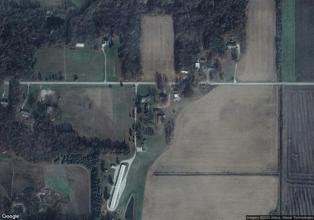
11555 E 550 N Grovertown, IN 46531
Estimated Value: $149,148 - $285,000
3
Beds
1
Bath
1,508
Sq Ft
$146/Sq Ft
Est. Value
About This Home
This home is located at 11555 E 550 N, Grovertown, IN 46531 and is currently estimated at $219,787, approximately $145 per square foot. 11555 E 550 N is a home located in Starke County with nearby schools including Oregon-Davis Elementary School and Oregon-Davis Junior/Senior High School.
Ownership History
Date
Name
Owned For
Owner Type
Purchase Details
Closed on
Dec 19, 2005
Sold by
Crawford Timothy L and Crawford Christy L
Bought by
Alles Andrea M
Current Estimated Value
Home Financials for this Owner
Home Financials are based on the most recent Mortgage that was taken out on this home.
Original Mortgage
$85,200
Outstanding Balance
$48,206
Interest Rate
6.48%
Mortgage Type
New Conventional
Estimated Equity
$171,581
Purchase Details
Closed on
Aug 8, 2000
Sold by
Werner James J and Werner Jill A
Bought by
Crawford Timothy L and Crawford Christy L
Create a Home Valuation Report for This Property
The Home Valuation Report is an in-depth analysis detailing your home's value as well as a comparison with similar homes in the area
Home Values in the Area
Average Home Value in this Area
Purchase History
| Date | Buyer | Sale Price | Title Company |
|---|---|---|---|
| Alles Andrea M | -- | None Available | |
| Crawford Timothy L | -- | -- |
Source: Public Records
Mortgage History
| Date | Status | Borrower | Loan Amount |
|---|---|---|---|
| Open | Alles Andrea M | $85,200 |
Source: Public Records
Tax History Compared to Growth
Tax History
| Year | Tax Paid | Tax Assessment Tax Assessment Total Assessment is a certain percentage of the fair market value that is determined by local assessors to be the total taxable value of land and additions on the property. | Land | Improvement |
|---|---|---|---|---|
| 2024 | $659 | $117,600 | $15,100 | $102,500 |
| 2023 | $586 | $106,000 | $13,800 | $92,200 |
| 2022 | $557 | $102,100 | $12,300 | $89,800 |
| 2021 | $469 | $86,900 | $12,100 | $74,800 |
| 2020 | $429 | $80,600 | $12,100 | $68,500 |
| 2019 | $394 | $79,000 | $11,900 | $67,100 |
| 2018 | $346 | $75,700 | $11,400 | $64,300 |
| 2017 | $308 | $74,700 | $11,100 | $63,600 |
| 2016 | $298 | $73,800 | $11,100 | $62,700 |
| 2014 | $265 | $75,300 | $11,100 | $64,200 |
| 2013 | $262 | $76,100 | $11,100 | $65,000 |
Source: Public Records
Map
Nearby Homes
- TBD E 550 N
- 11538 E 400 N
- TBD 500 N
- 20510 W 8th Rd
- TBD Beech Ave
- 20906 S Lake Dr
- 00 S Lake Dr
- TBD S Lake Dr
- 7640 Union Rd
- 20782 S Lake Dr
- Lot 10 Shipping Lane Dr W
- 11985 E South St
- 10959 E Tippecanoe Dr
- 7640 Indiana 23
- 7685 N Tecumseh Rd
- 20973 N Lake Dr
- 11045 E Iroquois Rd
- 7783 N Tippecanoe Dr
- 7733 N Meadow Ln
- 19203 6th Rd