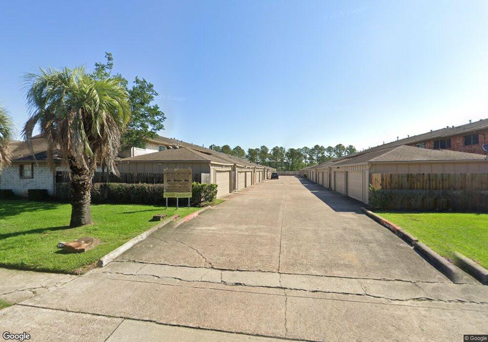
11555 Sabo Rd Unit C Houston, TX 77089
Southbelt-Ellington NeighborhoodEstimated Value: $167,000 - $178,000
2
Beds
3
Baths
1,874
Sq Ft
$92/Sq Ft
Est. Value
About This Home
This home is located at 11555 Sabo Rd Unit C, Houston, TX 77089 and is currently estimated at $172,157, approximately $91 per square foot. 11555 Sabo Rd Unit C is a home located in Harris County with nearby schools including Meador Elementary School, Beverly Hill Intermediate School, and Morris Middle School.
Ownership History
Date
Name
Owned For
Owner Type
Purchase Details
Closed on
Aug 5, 2019
Sold by
Maldonado Roel and Maldonado Annabel S
Bought by
Perez Marilyn
Current Estimated Value
Home Financials for this Owner
Home Financials are based on the most recent Mortgage that was taken out on this home.
Original Mortgage
$121,082
Outstanding Balance
$107,213
Interest Rate
4.25%
Mortgage Type
FHA
Estimated Equity
$64,944
Purchase Details
Closed on
Mar 7, 2013
Sold by
Downs Paul Anthony
Bought by
Maldonado Roel and Maldonado Annabel S
Create a Home Valuation Report for This Property
The Home Valuation Report is an in-depth analysis detailing your home's value as well as a comparison with similar homes in the area
Home Values in the Area
Average Home Value in this Area
Purchase History
| Date | Buyer | Sale Price | Title Company |
|---|---|---|---|
| Perez Marilyn | -- | None Available | |
| Maldonado Roel | -- | None Available |
Source: Public Records
Mortgage History
| Date | Status | Borrower | Loan Amount |
|---|---|---|---|
| Open | Perez Marilyn | $121,082 |
Source: Public Records
Tax History Compared to Growth
Tax History
| Year | Tax Paid | Tax Assessment Tax Assessment Total Assessment is a certain percentage of the fair market value that is determined by local assessors to be the total taxable value of land and additions on the property. | Land | Improvement |
|---|---|---|---|---|
| 2025 | $3,899 | $153,124 | $27,720 | $125,404 |
| 2024 | $3,899 | $155,460 | $27,720 | $127,740 |
| 2023 | $3,899 | $153,789 | $27,720 | $126,069 |
| 2022 | $3,465 | $135,360 | $27,720 | $107,640 |
| 2021 | $3,345 | $124,536 | $26,334 | $98,202 |
| 2020 | $3,414 | $124,536 | $26,334 | $98,202 |
| 2019 | $2,974 | $103,171 | $19,800 | $83,371 |
| 2018 | $1,447 | $103,171 | $19,800 | $83,371 |
| 2017 | $2,841 | $103,171 | $19,800 | $83,371 |
| 2016 | $2,467 | $89,585 | $11,000 | $78,585 |
| 2015 | $2,252 | $86,513 | $11,000 | $75,513 |
| 2014 | $2,252 | $80,351 | $11,000 | $69,351 |
Source: Public Records
Map
Nearby Homes
- 11433 Sabo Rd
- 12023 Sagecliff Dr
- 11930 Kirkway Dr
- 10614 Sabo Rd
- 10442 Southport Dr
- 10815 Ritow St
- 10906 Green Arbor Dr
- 10823 Overlea Dr
- 10619 Wheaton Dr
- 10906 Keese Dr
- 11107 Kirkpark Dr
- 10207 Rambling Trail
- 10214 Buena Park Dr
- 11311 Caribbean Ln
- 11111 Sagecrest Ln
- 11303 Caribbean Ln
- 11314 Sageland Dr
- 11414 Kirkwyn Dr
- 9743 Santa Monica Blvd
- 11611 Sagedowne Ln
- 11555 Sabo Rd
- 11553 Sabo Rd
- 11557 Sabo Rd
- 11551 Sabo Rd
- 11561 Sabo Rd
- 11561 Sabo Rd Unit BLDG F
- 11549 Sabo Rd
- 11549 Sabo Rd Unit F
- 11569 Sabo Rd
- 11571 Sabo Rd
- 11567 Sabo Rd
- 11573 Sabo Rd
- 11547 Sabo Rd Unit 1547
- 11547 Sabo Rd Unit E
- 11521 Sabo Rd
- 11525 Sabo Rd
- 11565 Sabo Rd
- 11519 Sabo Rd
- 11575 Sabo Rd
- 11527 Sabo Rd