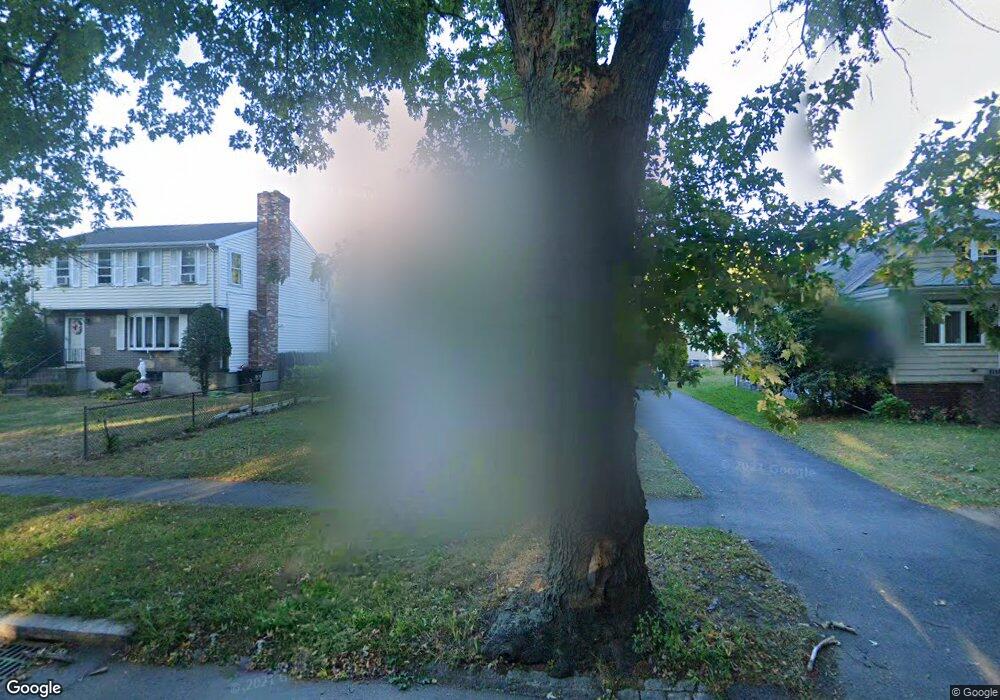
1156 Furnace Brook Pkwy Quincy, MA 02169
South Quincy NeighborhoodEstimated Value: $565,000 - $604,000
2
Beds
1
Bath
1,017
Sq Ft
$576/Sq Ft
Est. Value
About This Home
This home is located at 1156 Furnace Brook Pkwy, Quincy, MA 02169 and is currently estimated at $585,978, approximately $576 per square foot. 1156 Furnace Brook Pkwy is a home located in Norfolk County with nearby schools including South West Middle School, Lincoln-Hancock Community School, and Quincy High School.
Ownership History
Date
Name
Owned For
Owner Type
Purchase Details
Closed on
Nov 2, 2000
Sold by
Mccarthy Katherine A
Bought by
Folan Theresa B
Current Estimated Value
Home Financials for this Owner
Home Financials are based on the most recent Mortgage that was taken out on this home.
Original Mortgage
$172,000
Interest Rate
7.83%
Mortgage Type
Purchase Money Mortgage
Purchase Details
Closed on
Jun 16, 1998
Sold by
Kussmann Paul B and Kussman Jennifer M
Bought by
Mccarthy Lawrence C and Mccarthy Katherine A
Home Financials for this Owner
Home Financials are based on the most recent Mortgage that was taken out on this home.
Original Mortgage
$40,000
Interest Rate
7.11%
Mortgage Type
Purchase Money Mortgage
Purchase Details
Closed on
May 17, 1991
Sold by
Connolly John P and Connolly Matthew J
Bought by
Kussmann Paul B and Kussmann Jennifer M
Create a Home Valuation Report for This Property
The Home Valuation Report is an in-depth analysis detailing your home's value as well as a comparison with similar homes in the area
Home Values in the Area
Average Home Value in this Area
Purchase History
| Date | Buyer | Sale Price | Title Company |
|---|---|---|---|
| Folan Theresa B | $247,000 | -- | |
| Mccarthy Lawrence C | $162,000 | -- | |
| Kussmann Paul B | $125,000 | -- |
Source: Public Records
Mortgage History
| Date | Status | Borrower | Loan Amount |
|---|---|---|---|
| Open | Kussmann Paul B | $173,600 | |
| Closed | Kussmann Paul B | $172,000 | |
| Previous Owner | Kussmann Paul B | $40,000 | |
| Previous Owner | Kussmann Paul B | $112,500 |
Source: Public Records
Tax History Compared to Growth
Tax History
| Year | Tax Paid | Tax Assessment Tax Assessment Total Assessment is a certain percentage of the fair market value that is determined by local assessors to be the total taxable value of land and additions on the property. | Land | Improvement |
|---|---|---|---|---|
| 2025 | $5,906 | $512,200 | $292,800 | $219,400 |
| 2024 | $5,534 | $491,000 | $278,900 | $212,100 |
| 2023 | $5,339 | $479,700 | $265,500 | $214,200 |
| 2022 | $5,004 | $417,700 | $212,500 | $205,200 |
| 2021 | $4,924 | $405,600 | $212,500 | $193,100 |
| 2020 | $4,782 | $384,700 | $212,500 | $172,200 |
| 2019 | $4,605 | $366,900 | $206,300 | $160,600 |
| 2018 | $4,537 | $340,100 | $191,000 | $149,100 |
| 2017 | $4,444 | $313,600 | $181,900 | $131,700 |
| 2016 | $4,166 | $290,100 | $165,400 | $124,700 |
| 2015 | $3,914 | $268,100 | $156,000 | $112,100 |
| 2014 | $3,822 | $257,200 | $156,000 | $101,200 |
Source: Public Records
Map
Nearby Homes
- 211 Copeland St
- 1 Cityview Ln Unit 506
- 1 Cityview Ln Unit 210
- 1 Cityview Ln Unit 709
- 1 Cityview Ln Unit 204
- 73 Connell St
- 46 Suomi Rd
- 46 Suomi Rd Unit 46
- 57 Buckley St
- 46-48 Buckley St
- 42 West St
- 25 Carrolls Ln
- 10 White St
- 510 Willard St
- 14 Arthur Ave
- 12 Arthur Ave
- 21 Arthur St
- 91 Garfield St
- 29 Oconnell Ave
- 89 Puritan Dr
- 1160 Furnace Brook Pkwy
- 1150 Furnace Brook Pkwy
- 36 Reardon St
- 30 Reardon St
- 1144 Furnace Brook Pkwy
- 1146 Furnace Brook Pkwy
- 28 Reardon St
- 26 Reardon St
- 1170 Furnace Brook Pkwy
- 22 Reardon St
- 35 Reardon St
- 29 Reardon St
- 27 Cross St
- 5 Harris St
- 4 Barry St
- 16 Reardon St
- 1138 Furnace Brook Pkwy
- 33 Cross St
- 1176 Furnace Brook Pkwy
- 21 Cross St