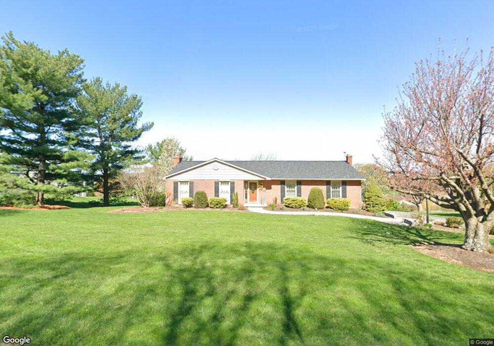
1157 Brownstone Ridge New Holland, PA 17557
Estimated Value: $405,307 - $628,000
3
Beds
3
Baths
1,672
Sq Ft
$301/Sq Ft
Est. Value
About This Home
This home is located at 1157 Brownstone Ridge, New Holland, PA 17557 and is currently estimated at $503,827, approximately $301 per square foot. 1157 Brownstone Ridge is a home located in Lancaster County with nearby schools including Garden Spot Middle School, Garden Spot Senior High School, and Conestoga Parochial School.
Ownership History
Date
Name
Owned For
Owner Type
Purchase Details
Closed on
Jul 3, 2008
Sold by
Martin Louella H
Bought by
Martin Nelson M and Martin Louella H
Current Estimated Value
Purchase Details
Closed on
Apr 7, 2006
Sold by
Fox Lloyd W and Fox Esther S
Bought by
Martin Norman H and Martin Louella H
Create a Home Valuation Report for This Property
The Home Valuation Report is an in-depth analysis detailing your home's value as well as a comparison with similar homes in the area
Home Values in the Area
Average Home Value in this Area
Purchase History
| Date | Buyer | Sale Price | Title Company |
|---|---|---|---|
| Martin Nelson M | -- | None Available | |
| Martin Norman H | $274,250 | First American Title Ins Co |
Source: Public Records
Tax History Compared to Growth
Tax History
| Year | Tax Paid | Tax Assessment Tax Assessment Total Assessment is a certain percentage of the fair market value that is determined by local assessors to be the total taxable value of land and additions on the property. | Land | Improvement |
|---|---|---|---|---|
| 2025 | $4,022 | $224,600 | $81,800 | $142,800 |
| 2024 | $4,022 | $224,600 | $81,800 | $142,800 |
| 2023 | $3,964 | $224,600 | $81,800 | $142,800 |
| 2022 | $3,922 | $224,600 | $81,800 | $142,800 |
| 2021 | $3,859 | $224,600 | $81,800 | $142,800 |
| 2020 | $3,859 | $224,600 | $81,800 | $142,800 |
| 2019 | $3,817 | $224,600 | $81,800 | $142,800 |
| 2018 | $4,491 | $224,600 | $81,800 | $142,800 |
| 2017 | $3,938 | $189,100 | $67,300 | $121,800 |
| 2016 | $3,938 | $189,100 | $67,300 | $121,800 |
| 2015 | $1,094 | $189,100 | $67,300 | $121,800 |
| 2014 | $2,661 | $189,100 | $67,300 | $121,800 |
Source: Public Records
Map
Nearby Homes
- 529 Ranck Rd Unit 1
- 529 Ranck Rd Unit 2
- 529 Ranck Rd Unit 3
- 529 Ranck Rd Unit 4
- 529 Ranck Rd Unit 5
- 529 Ranck Rd Unit 9
- 529 Ranck Rd Unit 6
- 529 Ranck Rd Unit 8
- 529 Ranck Rd Unit 10
- 210 Musser Rd
- 13 Amber Cir
- 1258 Main St
- 5490 Division Hwy
- 5235 Honeysuckle Ln
- 259 Hill Rd
- 600 Meetinghouse Rd
- 385 Valley View Dr
- 391 E Jackson St
- 406 Brimmer Ave
- 20 N Kinzer Ave
- 1161 Brownstone Ridge
- 1153 Brownstone Ridge
- 1156 Sheep Hill Rd
- 1152 Sheep Hill Rd
- 1160 Brownstone Ridge
- 1164 Brownstone Ridge
- 1168 Sheep Hill Rd
- 1148 Sheep Hill Rd
- 1165 Brownstone Ridge
- 1149 Brownstone Ridge
- 1166 Brownstone Ridge
- 1155 Sheep Hill Rd
- 1159 Sheep Hill Rd
- 1172 Sheep Hill Rd
- 1148 Brownstone Ridge
- 1163 Sheep Hill Rd
- 1144 Sheep Hill Rd
- 1169 Brownstone Ridge
- 1168 Brownstone Ridge
- 1162 Brownstone Ridge