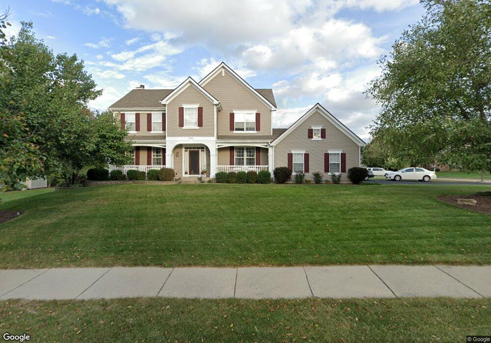
1157 Fox Path West Dundee, IL 60118
Estimated Value: $447,582 - $540,000
4
Beds
--
Bath
2,358
Sq Ft
$208/Sq Ft
Est. Value
About This Home
This home is located at 1157 Fox Path, West Dundee, IL 60118 and is currently estimated at $490,896, approximately $208 per square foot. 1157 Fox Path is a home located in Kane County with nearby schools including Sleepy Hollow Elementary School, Dundee Middle School, and Dundee-Crown High School.
Ownership History
Date
Name
Owned For
Owner Type
Purchase Details
Closed on
Feb 24, 2023
Sold by
Christensen Evan R and Christensen Cathy M
Bought by
Christensen Evan R and Christensen Kyle A
Current Estimated Value
Purchase Details
Closed on
May 30, 2003
Sold by
Havemann Todd A and Havemann Jill Kelsey Marie
Bought by
Christensen Evan R and Christensen Cathy M
Home Financials for this Owner
Home Financials are based on the most recent Mortgage that was taken out on this home.
Original Mortgage
$292,000
Interest Rate
5.37%
Mortgage Type
Purchase Money Mortgage
Purchase Details
Closed on
Jun 5, 1998
Sold by
The Ryland Group Inc
Bought by
Havemann Todd A and Havemann Jill Kelsey Marie
Home Financials for this Owner
Home Financials are based on the most recent Mortgage that was taken out on this home.
Original Mortgage
$266,000
Interest Rate
7.22%
Create a Home Valuation Report for This Property
The Home Valuation Report is an in-depth analysis detailing your home's value as well as a comparison with similar homes in the area
Home Values in the Area
Average Home Value in this Area
Purchase History
| Date | Buyer | Sale Price | Title Company |
|---|---|---|---|
| Christensen Evan R | -- | None Listed On Document | |
| Christensen Evan R | $365,000 | Stewart Title Company | |
| Havemann Todd A | $280,500 | Ticor Title Insurance |
Source: Public Records
Mortgage History
| Date | Status | Borrower | Loan Amount |
|---|---|---|---|
| Previous Owner | Christensen Evan R | $292,000 | |
| Previous Owner | Havemann Todd A | $266,000 |
Source: Public Records
Tax History
| Year | Tax Paid | Tax Assessment Tax Assessment Total Assessment is a certain percentage of the fair market value that is determined by local assessors to be the total taxable value of land and additions on the property. | Land | Improvement |
|---|---|---|---|---|
| 2024 | $10,122 | $132,182 | $27,254 | $104,928 |
| 2023 | $9,493 | $118,933 | $24,522 | $94,411 |
| 2022 | $9,385 | $112,532 | $24,522 | $88,010 |
| 2021 | $9,059 | $106,253 | $23,154 | $83,099 |
| 2020 | $8,892 | $103,864 | $22,633 | $81,231 |
| 2019 | $8,608 | $98,599 | $21,486 | $77,113 |
| 2018 | $8,541 | $95,559 | $21,061 | $74,498 |
| 2017 | $8,570 | $93,845 | $24,816 | $69,029 |
| 2016 | $8,737 | $90,865 | $24,028 | $66,837 |
| 2015 | -- | $85,143 | $22,515 | $62,628 |
| 2014 | -- | $82,791 | $21,893 | $60,898 |
| 2013 | -- | $85,325 | $22,563 | $62,762 |
Source: Public Records
Map
Nearby Homes
- 36 River Ridge Dr
- 1042 Chateau Bluff Ln
- 10 Chateau Dr
- 915 Willow Ln
- 601 Edwards Ave
- 601 S 2nd St
- 936 Glen Oak Dr
- 305 Oregon Ave
- Lot 1 View St
- 820 Lindsay Ln
- 804 Lindsay Ln
- 808 Lindsay Ln
- 810 Lindsay Ln
- 1811 W Main St
- 306 Johnson St
- 1040 Beau Brummel Ct
- 206 Water St
- 822 Lindsay Ln
- 816 Lindsay Ln
- 818 Lindsay Ln
Your Personal Tour Guide
Ask me questions while you tour the home.