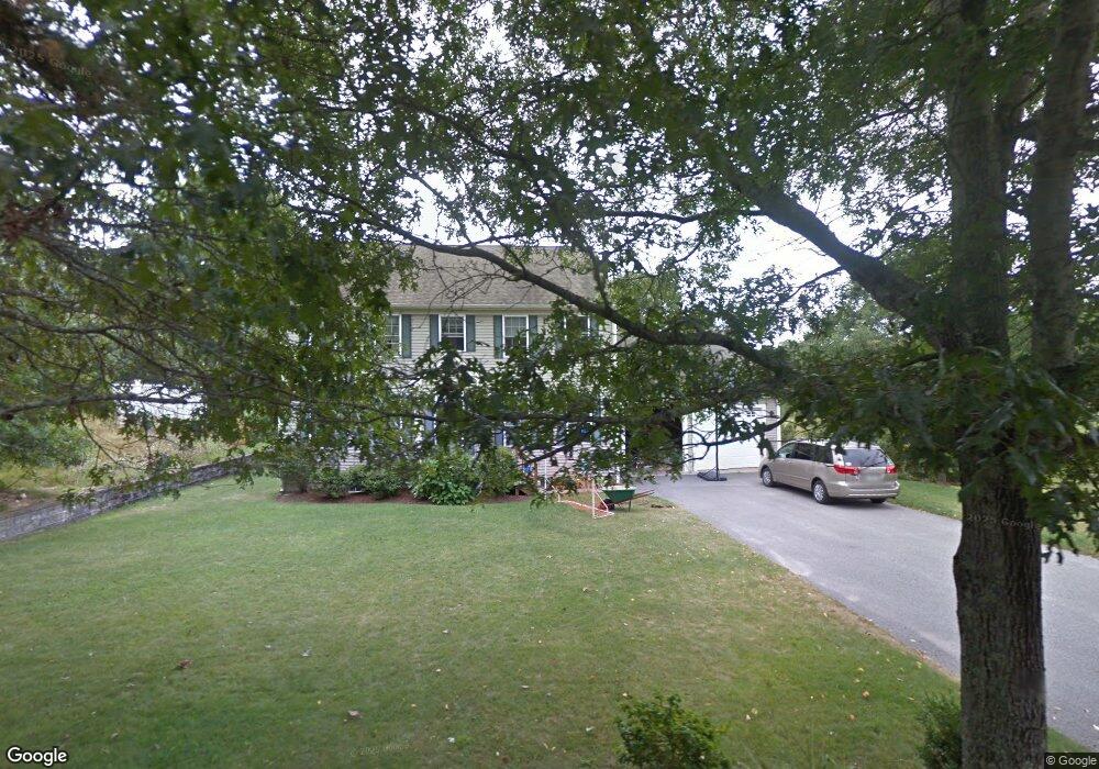
1157 Long Pond Rd Plymouth, MA 02360
Estimated Value: $635,000 - $778,000
3
Beds
3
Baths
2,061
Sq Ft
$346/Sq Ft
Est. Value
About This Home
This home is located at 1157 Long Pond Rd, Plymouth, MA 02360 and is currently estimated at $713,342, approximately $346 per square foot. 1157 Long Pond Rd is a home located in Plymouth County with nearby schools including Indian Brook, Plymouth South Middle School, and Plymouth South High School.
Ownership History
Date
Name
Owned For
Owner Type
Purchase Details
Closed on
Apr 22, 2005
Sold by
Beane Stephen M and Beane Sharon L
Bought by
Beane Shawn M and Beane Kimberly A
Current Estimated Value
Purchase Details
Closed on
Dec 24, 2001
Sold by
Swift Michael E
Bought by
Beane Stephen M and Beane Sharon L
Create a Home Valuation Report for This Property
The Home Valuation Report is an in-depth analysis detailing your home's value as well as a comparison with similar homes in the area
Home Values in the Area
Average Home Value in this Area
Purchase History
| Date | Buyer | Sale Price | Title Company |
|---|---|---|---|
| Beane Shawn M | -- | -- | |
| Beane Stephen M | $65,000 | -- |
Source: Public Records
Mortgage History
| Date | Status | Borrower | Loan Amount |
|---|---|---|---|
| Open | Beane Stephen M | $315,226 | |
| Closed | Beane Stephen M | $312,000 | |
| Closed | Beane Stephen M | $285,000 |
Source: Public Records
Tax History Compared to Growth
Tax History
| Year | Tax Paid | Tax Assessment Tax Assessment Total Assessment is a certain percentage of the fair market value that is determined by local assessors to be the total taxable value of land and additions on the property. | Land | Improvement |
|---|---|---|---|---|
| 2025 | $7,427 | $585,300 | $228,100 | $357,200 |
| 2024 | $7,223 | $561,200 | $224,100 | $337,100 |
| 2023 | $6,932 | $505,600 | $200,000 | $305,600 |
| 2022 | $6,349 | $411,500 | $183,400 | $228,100 |
| 2021 | $6,356 | $393,300 | $183,400 | $209,900 |
| 2020 | $6,354 | $388,600 | $179,400 | $209,200 |
| 2019 | $6,186 | $374,000 | $163,400 | $210,600 |
| 2018 | $5,978 | $363,200 | $153,400 | $209,800 |
| 2017 | $5,700 | $343,800 | $156,900 | $186,900 |
| 2016 | $5,450 | $335,000 | $146,900 | $188,100 |
| 2015 | $5,225 | $336,200 | $146,900 | $189,300 |
| 2014 | $4,940 | $326,500 | $143,400 | $183,100 |
Source: Public Records
Map
Nearby Homes
- 1150 Long Pond Rd
- 12 Kara's Way
- 1 Kara's Way
- 65 Lakewood Dr
- 5 Laurie Ann's Ln
- 26 Spencer Dr
- 18 Westcliff Dr
- 20 Westcliff Dr Unit 20
- 4 Westcliff Dr Unit Golfview
- 53 White Cliff Dr
- 37 Spencer Dr
- 1096 Long Pond Rd
- 15 Nonantum Rd
- 11 Village Green Dr Unit B
- 92 Cliffside Dr
- 92 Cliffside Dr Unit White Cliff
- 112 Cliffside Dr Unit 112
- 42 Fairway Dr Unit Golfview
- 48 Menotomy Rd
- 29 Sheppard Rd
- 1161 Long Pond Rd
- 1158 Long Pond Rd
- 1156 Long Pond Rd
- 1165 Long Pond Rd
- 1163 Long Pond Rd
- 1155 Long Pond Rd
- 1154 Long Pond Rd
- 1151 Long Pond Rd
- 1152 Long Pond Rd
- 1167 Long Pond Rd
- 68 Herring Pond Rd
- 64 Herring Pond Rd
- 62 Herring Pond Rd
- 8 Fellowship Cir
- 8 Fellowship Cir Unit 6
- 70 Herring Pond Rd
- 58 Herring Pond Rd
- 74 Herring Pond Rd
- 6 Fellowship Cir
- 6 Fellowship Cir Unit 6