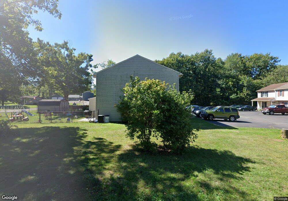
11570 Airport Rd Unit C Waynesboro, PA 17268
Estimated Value: $159,568 - $282,000
--
Bed
1
Bath
1,272
Sq Ft
$160/Sq Ft
Est. Value
About This Home
This home is located at 11570 Airport Rd Unit C, Waynesboro, PA 17268 and is currently estimated at $203,142, approximately $159 per square foot. 11570 Airport Rd Unit C is a home located in Franklin County with nearby schools including Waynesboro Area Senior High School, St. Andrew Catholic School, and Living Word Academy.
Ownership History
Date
Name
Owned For
Owner Type
Purchase Details
Closed on
Nov 30, 2022
Sold by
Carbaugh Koenig Kayla
Bought by
Abad Lydia N and Clancy Jeremiah B
Current Estimated Value
Home Financials for this Owner
Home Financials are based on the most recent Mortgage that was taken out on this home.
Original Mortgage
$152,192
Outstanding Balance
$147,625
Interest Rate
6.95%
Mortgage Type
FHA
Estimated Equity
$55,517
Purchase Details
Closed on
Dec 14, 2018
Sold by
Chappell Karen M
Bought by
Carbaugh Kayla R
Home Financials for this Owner
Home Financials are based on the most recent Mortgage that was taken out on this home.
Original Mortgage
$127,645
Interest Rate
5.5%
Mortgage Type
FHA
Create a Home Valuation Report for This Property
The Home Valuation Report is an in-depth analysis detailing your home's value as well as a comparison with similar homes in the area
Home Values in the Area
Average Home Value in this Area
Purchase History
| Date | Buyer | Sale Price | Title Company |
|---|---|---|---|
| Abad Lydia N | $155,000 | Keystone Real Estate Settlemen | |
| Carbaugh Kayla R | $130,000 | None Available |
Source: Public Records
Mortgage History
| Date | Status | Borrower | Loan Amount |
|---|---|---|---|
| Open | Abad Lydia N | $152,192 | |
| Previous Owner | Carbaugh Kayla R | $127,645 |
Source: Public Records
Tax History Compared to Growth
Tax History
| Year | Tax Paid | Tax Assessment Tax Assessment Total Assessment is a certain percentage of the fair market value that is determined by local assessors to be the total taxable value of land and additions on the property. | Land | Improvement |
|---|---|---|---|---|
| 2025 | $2,455 | $15,980 | $400 | $15,580 |
| 2024 | $2,383 | $15,980 | $400 | $15,580 |
| 2023 | $2,312 | $15,980 | $400 | $15,580 |
| 2022 | $2,244 | $15,980 | $400 | $15,580 |
| 2021 | $2,180 | $15,980 | $400 | $15,580 |
| 2020 | $2,146 | $15,980 | $400 | $15,580 |
| 2019 | $2,098 | $15,980 | $400 | $15,580 |
| 2018 | $2,031 | $15,980 | $400 | $15,580 |
| 2017 | $1,987 | $15,980 | $400 | $15,580 |
| 2016 | $458 | $15,980 | $400 | $15,580 |
| 2015 | $427 | $15,980 | $400 | $15,580 |
| 2014 | $427 | $15,980 | $400 | $15,580 |
Source: Public Records
Map
Nearby Homes
- 11378 Airport Rd
- 10828 Buchanan Trail E
- 13740 Lower Edgemont Rd
- 13741 Villa View Dr
- 13189 Seneca Dr
- 14090 Gardner Ave
- 0 Skiway Ave Unit PAFL2023044
- 12030 Old Route 16
- 12256 Old Pen Mar Rd
- 0 Old Pen Mar Rd
- 162 Briar Ridge Dr
- 321 Landis Ave
- 1631 Buchanan Trail E
- 108 Antietam Dr
- 14547 Edgemont Rd
- 11412 Viking Ave
- 11439 Viking Ave
- 18 Barnett Ave
- 12398 Shelby Ave
- 14611 Roosevelt Ave
- 11570 Airport Rd
- 11570 Airport Rd Unit H
- 11570 Airport Rd Unit G
- 11570 Airport Rd Unit B
- 11570 Airport Rd Unit D
- 11570 Airport Rd Unit F
- 11570 Airport Rd Unit A
- 11570 Airport Rd Unit I
- 11570 Airport Rd Unit SUITE E
- 11570 Airport Rd
- 11630 Airport Rd
- 11548 Airport Rd
- 11581 Airport Rd
- 11600 Airport Rd
- 11595 Airport Rd
- 11650 Airport Rd
- 11643 Airport Rd
- 11530 Airport Rd
- 11547 Airport Rd
- 11508 Airport Rd