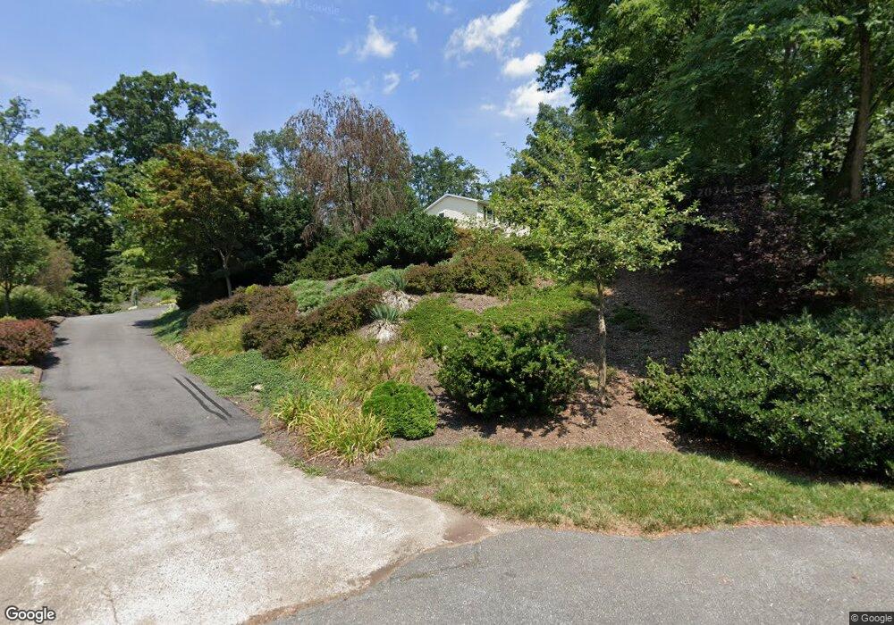
11572 Liberty Oak Dr Frederick, MD 21701
Estimated Value: $450,313 - $561,000
--
Bed
2
Baths
1,728
Sq Ft
$283/Sq Ft
Est. Value
About This Home
This home is located at 11572 Liberty Oak Dr, Frederick, MD 21701 and is currently estimated at $488,828, approximately $282 per square foot. 11572 Liberty Oak Dr is a home located in Frederick County with nearby schools including Liberty Elementary School, New Market Middle School, and Linganore High School.
Ownership History
Date
Name
Owned For
Owner Type
Purchase Details
Closed on
Jul 2, 1987
Sold by
Poole Development Company, Inc.
Bought by
Dilley Richard J and Dilley Deborah
Current Estimated Value
Home Financials for this Owner
Home Financials are based on the most recent Mortgage that was taken out on this home.
Original Mortgage
$76,850
Interest Rate
10.35%
Purchase Details
Closed on
Sep 30, 1986
Sold by
Poole Dev Co Inc
Bought by
Poole Development Company, Inc.
Home Financials for this Owner
Home Financials are based on the most recent Mortgage that was taken out on this home.
Original Mortgage
$83,700
Interest Rate
10.1%
Create a Home Valuation Report for This Property
The Home Valuation Report is an in-depth analysis detailing your home's value as well as a comparison with similar homes in the area
Home Values in the Area
Average Home Value in this Area
Purchase History
| Date | Buyer | Sale Price | Title Company |
|---|---|---|---|
| Dilley Richard J | $96,100 | -- | |
| Poole Development Company, Inc. | $104,700 | -- |
Source: Public Records
Mortgage History
| Date | Status | Borrower | Loan Amount |
|---|---|---|---|
| Closed | Dilley Richard J | $76,850 | |
| Previous Owner | Poole Development Company, Inc. | $83,700 |
Source: Public Records
Tax History Compared to Growth
Tax History
| Year | Tax Paid | Tax Assessment Tax Assessment Total Assessment is a certain percentage of the fair market value that is determined by local assessors to be the total taxable value of land and additions on the property. | Land | Improvement |
|---|---|---|---|---|
| 2025 | $4,201 | $363,200 | $146,500 | $216,700 |
| 2024 | $4,201 | $343,067 | $0 | $0 |
| 2023 | $3,846 | $322,933 | $0 | $0 |
| 2022 | $3,665 | $302,800 | $102,400 | $200,400 |
| 2021 | $3,598 | $299,933 | $0 | $0 |
| 2020 | $3,598 | $297,067 | $0 | $0 |
| 2019 | $3,565 | $294,200 | $97,700 | $196,500 |
| 2018 | $3,554 | $290,600 | $0 | $0 |
| 2017 | $3,481 | $294,200 | $0 | $0 |
| 2016 | $3,327 | $283,400 | $0 | $0 |
| 2015 | $3,327 | $281,867 | $0 | $0 |
| 2014 | $3,327 | $280,333 | $0 | $0 |
Source: Public Records
Map
Nearby Homes
- 11584 Liberty Oak Dr
- 11623 Daysville Rd
- 11035 Bennie Duncan Rd
- 10027 Pine Tree Rd
- 11911 Main St
- 10028A Pine Tree Rd
- 11940 Main St
- 12061 & 12059 Main St
- 12109 Liberty Rd
- 8625 Chestnut Grove Rd
- 9130 Liberty Village Way
- 10242 Daysville Rd
- 10236 Daysville Rd
- 10230 Daysville Rd
- 10334 Harp Rd
- 10543 Woodsboro Rd
- 8008 Dustin Dr
- 324 Braeburn Ct
- 9522 Bessie Clemson Rd
- 318 Copper Oaks Dr
- 11573 Liberty Oak Dr
- 11586 Liberty Oak Dr
- 11575 Liberty Oak Dr
- 11580 Liberty Oak Dr
- 11577 Liberty Oak Dr
- 11579 Liberty Oak Dr
- 11588 Liberty Oak Dr
- 11583 Liberty Oak Dr
- 9306 Liberty Ct
- 11585 Liberty Oak Dr
- 11592 Liberty Oak Dr
- 9628 Woodsboro Rd
- 9304 Liberty Ct
- 11587 Liberty Oak Dr
- 11581 Liberty Oak Dr
- 9624B Woodsboro Rd
- 9624 Woodsboro Rd
- 9308 Liberty Ct
- 11589 Liberty Oak Dr
- 9302 Liberty Ct