11584 Rust Rd Bunker Hill, IL 62014
Estimated Value: $148,929 - $246,000
--
Bed
--
Bath
--
Sq Ft
1.88
Acres
About This Home
This home is located at 11584 Rust Rd, Bunker Hill, IL 62014 and is currently estimated at $185,982. 11584 Rust Rd is a home located in Macoupin County with nearby schools including Wolf Ridge Elementary School, Wolf Ridge Junior High School, and Bunker Hill High School.
Ownership History
Date
Name
Owned For
Owner Type
Purchase Details
Closed on
Oct 31, 2023
Sold by
Butler Dennis J and Butler Lisa K
Bought by
Beachum Bruce and Beachum Debra
Current Estimated Value
Purchase Details
Closed on
Apr 21, 2023
Sold by
Adrienne E Butler Family Revocable Trust and Butler Lisa K
Bought by
Butler Dennis J and Butler Lisa K
Purchase Details
Closed on
Oct 7, 2022
Sold by
Butler Adrienne E and Butler James A
Bought by
Adrienne E Butler Family Irrevocable Trust
Create a Home Valuation Report for This Property
The Home Valuation Report is an in-depth analysis detailing your home's value as well as a comparison with similar homes in the area
Home Values in the Area
Average Home Value in this Area
Purchase History
| Date | Buyer | Sale Price | Title Company |
|---|---|---|---|
| Beachum Bruce | -- | Community Title | |
| Butler Dennis J | -- | None Listed On Document | |
| Adrienne E Butler Family Irrevocable Trust | -- | -- |
Source: Public Records
Tax History Compared to Growth
Tax History
| Year | Tax Paid | Tax Assessment Tax Assessment Total Assessment is a certain percentage of the fair market value that is determined by local assessors to be the total taxable value of land and additions on the property. | Land | Improvement |
|---|---|---|---|---|
| 2024 | $2,563 | $41,419 | $3,661 | $37,758 |
| 2023 | $2,023 | $38,351 | $3,390 | $34,961 |
| 2022 | $2,023 | $36,247 | $3,573 | $32,674 |
| 2021 | $1,857 | $39,875 | $3,339 | $36,536 |
| 2020 | $1,815 | $37,958 | $3,150 | $34,808 |
| 2019 | $1,723 | $31,958 | $3,150 | $28,808 |
| 2018 | $1,717 | $31,958 | $0 | $0 |
| 2017 | $1,655 | $31,958 | $3,150 | $28,808 |
| 2016 | $1,623 | $30,436 | $3,000 | $27,436 |
| 2015 | $1,616 | $30,436 | $3,000 | $27,436 |
| 2014 | $1,854 | $30,436 | $3,000 | $27,436 |
| 2013 | $1,753 | $33,930 | $5,716 | $28,214 |
Source: Public Records
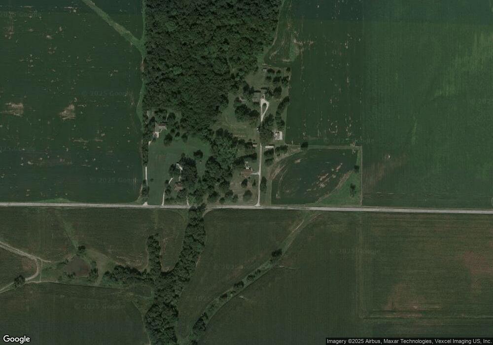
Map
Nearby Homes
- 13180 Meadow Ln
- 402 S Washington St
- 307 E Fayette St
- 310 S Clinton St
- 802 E Pleasant St
- 401 W Warren St
- 407 W Warren St
- 4 Erica Ln
- 708 W Morgan St
- 8945 Prairietown Rd
- 7590 Moulton Rd
- 7 Maple Dr
- 8240 N State Route 159
- 404 School St
- 100 School St
- 100 Dean St
- 1411 Biscay Dr
- 1590 Su Twan Dr
- 8209 Bivens Rd
- 8510 Underwood Ln
- 11612 Rust Rd
- 11516 Rust Rd
- 11532 Rust Rd
- 11230 Rust Rd
- 11132 Rust Rd
- 1538 Prairietown Rd
- 11034 Rust Rd
- 11277 Robinson Dr
- 11230 Robinson Dr
- 1463 Cardinal Ln
- 11002 Rust Rd
- 1984 Prairietown Rd
- 1200 Cardinal Ln
- 1324 Eagle Ln
- 2120 Prairietown Rd
- 1170 Prairietown Rd
- 1313 Eagle Ln
- 0 Liberty Ln Unit 2813682
- 10550 Liberty Ln
- 11326 Catholic Springs Rd