11585 Bertram St Woodbridge, VA 22192
Estimated Value: $460,024 - $531,000
3
Beds
3
Baths
1,455
Sq Ft
$351/Sq Ft
Est. Value
About This Home
This home is located at 11585 Bertram St, Woodbridge, VA 22192 and is currently estimated at $510,256, approximately $350 per square foot. 11585 Bertram St is a home located in Prince William County with nearby schools including Springwoods Elementary School, Lake Ridge Middle School, and Woodbridge High School.
Ownership History
Date
Name
Owned For
Owner Type
Purchase Details
Closed on
Oct 2, 1995
Sold by
Pulte Home Corp
Bought by
Mckenzie Michael A
Current Estimated Value
Home Financials for this Owner
Home Financials are based on the most recent Mortgage that was taken out on this home.
Original Mortgage
$154,581
Outstanding Balance
$1,115
Interest Rate
7.89%
Estimated Equity
$509,141
Create a Home Valuation Report for This Property
The Home Valuation Report is an in-depth analysis detailing your home's value as well as a comparison with similar homes in the area
Home Values in the Area
Average Home Value in this Area
Purchase History
| Date | Buyer | Sale Price | Title Company |
|---|---|---|---|
| Mckenzie Michael A | $151,850 | -- |
Source: Public Records
Mortgage History
| Date | Status | Borrower | Loan Amount |
|---|---|---|---|
| Open | Mckenzie Michael A | $154,581 |
Source: Public Records
Tax History Compared to Growth
Tax History
| Year | Tax Paid | Tax Assessment Tax Assessment Total Assessment is a certain percentage of the fair market value that is determined by local assessors to be the total taxable value of land and additions on the property. | Land | Improvement |
|---|---|---|---|---|
| 2025 | $4,329 | $471,700 | $119,500 | $352,200 |
| 2024 | $4,329 | $435,300 | $111,700 | $323,600 |
| 2023 | $4,510 | $433,400 | $107,000 | $326,400 |
| 2022 | $4,740 | $419,300 | $107,000 | $312,300 |
| 2021 | $4,357 | $356,100 | $97,300 | $258,800 |
| 2020 | $5,134 | $331,200 | $90,200 | $241,000 |
| 2019 | $5,179 | $334,100 | $106,000 | $228,100 |
| 2018 | $3,723 | $308,300 | $93,300 | $215,000 |
| 2017 | $3,850 | $311,400 | $111,500 | $199,900 |
| 2016 | $3,742 | $305,400 | $109,000 | $196,400 |
| 2015 | $3,520 | $306,300 | $113,500 | $192,800 |
| 2014 | $3,520 | $280,700 | $113,500 | $167,200 |
Source: Public Records
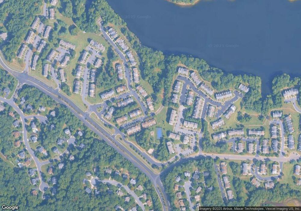
Map
Nearby Homes
- 11761 Tolson Place Unit 11761
- 11743 Barrows Ln
- 3899 Triad Ct
- 11983 San Ysidro Ct
- 3507 Mount Burnside Way
- 12164 Springwoods Dr
- 12170 Springwoods Dr
- 12067 Stallion Ct
- 12183 Old Salem Ct
- 3415 Fort Lyon Dr
- 12199 Chaucer Ln
- 11828 Critton Cir
- 11846 Critton Cir
- 4445 Tuscany Ct
- 12165 Abbey Glen Ct
- 12272 Arabian Place
- 12240 Stevenson Ct
- 11780 Chanceford Dr
- 12289 Arabian Place
- 12213 Stevenson Ct Unit 12213
- 11583 Bertram St
- 11587 Bertram St
- 11581 Bertram St
- 11589 Bertram St
- 11579 Bertram St
- 11575 Bertram St
- 3940 Brickert Place
- 11573 Bertram St
- 3942 Brickert Place
- 11571 Bertram St
- 3944 Brickert Place
- 3933 Brickert Place
- 3935 Brickert Place
- 11569 Bertram St
- 3937 Brickert Place
- 3946 Brickert Place
- 3949 Blysdale Ln
- 3939 Brickert Place
- 11567 Bertram St
- 11621 Tolson Place