11585 Eagle View Cir Sanger, TX 76266
Estimated Value: $1,256,650
4
Beds
5
Baths
4,714
Sq Ft
$267/Sq Ft
Est. Value
About This Home
This home is located at 11585 Eagle View Cir, Sanger, TX 76266 and is currently estimated at $1,256,650, approximately $266 per square foot. 11585 Eagle View Cir is a home located in Denton County with nearby schools including Chisholm Trail Elementary School, Clear Creek Intermediate School, and Sanger Sixth Grade Campus.
Ownership History
Date
Name
Owned For
Owner Type
Purchase Details
Closed on
Jun 20, 2016
Sold by
Hutcherson Donald L
Bought by
Polygon Enterprises Inc
Current Estimated Value
Purchase Details
Closed on
Sep 30, 2013
Sold by
Knight Derrick S and Knight Christi D
Bought by
Hutcherson Donald L and Hutcherson Frances R
Purchase Details
Closed on
May 25, 2004
Sold by
Reid James R and Reid Nancy Ann
Bought by
Knight Derrick S and Knight Christi D
Home Financials for this Owner
Home Financials are based on the most recent Mortgage that was taken out on this home.
Original Mortgage
$148,500
Interest Rate
5.97%
Mortgage Type
Purchase Money Mortgage
Create a Home Valuation Report for This Property
The Home Valuation Report is an in-depth analysis detailing your home's value as well as a comparison with similar homes in the area
Home Values in the Area
Average Home Value in this Area
Purchase History
| Date | Buyer | Sale Price | Title Company |
|---|---|---|---|
| Polygon Enterprises Inc | -- | Fatco | |
| Hutcherson Donald L | -- | Title Resources | |
| Knight Derrick S | -- | -- |
Source: Public Records
Mortgage History
| Date | Status | Borrower | Loan Amount |
|---|---|---|---|
| Previous Owner | Knight Derrick S | $148,500 |
Source: Public Records
Tax History Compared to Growth
Tax History
| Year | Tax Paid | Tax Assessment Tax Assessment Total Assessment is a certain percentage of the fair market value that is determined by local assessors to be the total taxable value of land and additions on the property. | Land | Improvement |
|---|---|---|---|---|
| 2025 | $14,027 | $1,179,130 | $295,940 | $883,190 |
| 2024 | $14,027 | $1,033,453 | $0 | $0 |
| 2023 | $11,847 | $867,980 | $150,898 | $717,082 |
| 2022 | $12,798 | $771,575 | $160,422 | $611,153 |
| 2021 | $8,407 | $576,157 | $117,266 | $458,891 |
| 2020 | $9,685 | $616,457 | $117,275 | $499,182 |
| 2019 | $9,838 | $601,115 | $117,305 | $483,810 |
| 2018 | $10,332 | $626,598 | $117,320 | $509,278 |
| 2017 | $9,997 | $602,058 | $87,736 | $514,322 |
| 2016 | $7,886 | $474,896 | $61,220 | $413,676 |
| 2015 | $6,669 | $484,254 | $61,225 | $423,029 |
Source: Public Records
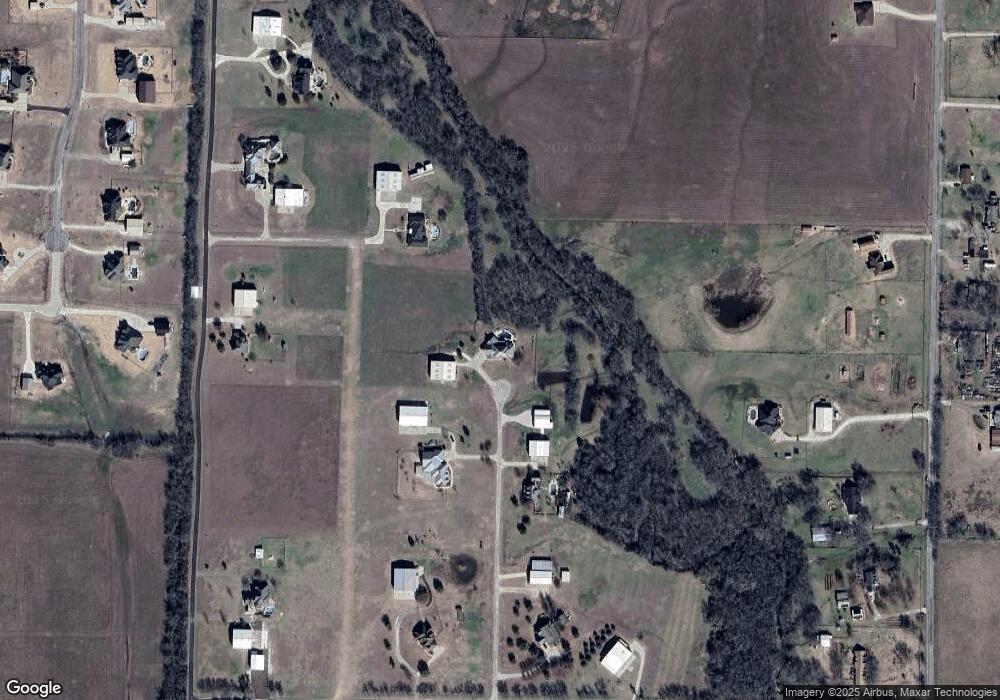
Map
Nearby Homes
- 8623 Chisum Rd
- 6810 Hunnington Dr
- 12142 Fm 2450
- 7240 Hunnington Dr
- 11087 Chisum Rd
- 9715 Fm 2450
- 000 Fm 2450
- 11007 Farm To Market Road 2450
- 10916 Fm 2450
- 6362 Belz Rd
- 6298 Belz Rd
- 6000 Fm 455 W
- 5990 Farm To Market 455 W
- TBD Cashs Mill Rd
- 921 Waters Edge Dr
- TBD Lois Rd E
- TBD Sam Bass Rd W
- Tract 3 Sam Bass Rd
- Tract 2 Sam Bass Rd
- Tract 1 Sam Bass Rd
- 6797 Vapor Trail
- 6849 Falcon Loop
- 8689 Chisum Rd
- 11890 Merlin Dr
- 11534 Merlin Dr
- 6850 Hunnington Dr
- 6920 Hunnington Dr
- 6930 Hunnington Dr
- 11449 Eagle View Dr
- 6940 Hunnington Dr
- 6840 6840 Dr
- 8732 Chisum Rd
- 8515 Chisum Rd
- 6911 Hunnington Dr
- 8766 Chisum Rd
- 8925 Chisum Rd
- 8786 Chisum Rd
- 8830 Chisum Rd
- 6950 Hunnington Dr
- 11436 Merlin Dr