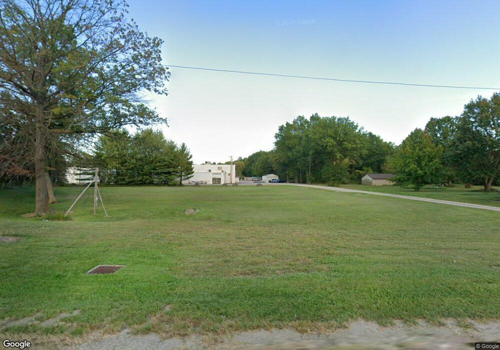
11587 Station Rd Columbia Station, OH 44028
Estimated Value: $456,404 - $464,000
4
Beds
2
Baths
2,822
Sq Ft
$163/Sq Ft
Est. Value
About This Home
This home is located at 11587 Station Rd, Columbia Station, OH 44028 and is currently estimated at $460,202, approximately $163 per square foot. 11587 Station Rd is a home located in Lorain County with nearby schools including Copopa Elementary School, Columbia Middle School, and Columbia High School.
Ownership History
Date
Name
Owned For
Owner Type
Purchase Details
Closed on
Apr 12, 2021
Sold by
Clark Linda J
Bought by
Jaquay Road Industrial Parkway Inc
Current Estimated Value
Purchase Details
Closed on
Jan 4, 2000
Sold by
Clark John V
Bought by
Clark John and Clark Linda J
Home Financials for this Owner
Home Financials are based on the most recent Mortgage that was taken out on this home.
Original Mortgage
$91,000
Interest Rate
7.76%
Create a Home Valuation Report for This Property
The Home Valuation Report is an in-depth analysis detailing your home's value as well as a comparison with similar homes in the area
Home Values in the Area
Average Home Value in this Area
Purchase History
| Date | Buyer | Sale Price | Title Company |
|---|---|---|---|
| Jaquay Road Industrial Parkway Inc | $320,000 | None Available | |
| Clark John | -- | Midland Title |
Source: Public Records
Mortgage History
| Date | Status | Borrower | Loan Amount |
|---|---|---|---|
| Previous Owner | Clark John | $91,000 |
Source: Public Records
Tax History Compared to Growth
Tax History
| Year | Tax Paid | Tax Assessment Tax Assessment Total Assessment is a certain percentage of the fair market value that is determined by local assessors to be the total taxable value of land and additions on the property. | Land | Improvement |
|---|---|---|---|---|
| 2024 | $1,100 | $20,853 | $20,853 | -- |
| 2023 | $5,077 | $99,810 | $22,246 | $77,564 |
| 2022 | $4,960 | $99,810 | $22,246 | $77,564 |
| 2021 | $4,472 | $99,810 | $22,250 | $77,560 |
| 2020 | $4,258 | $86,550 | $19,280 | $67,270 |
| 2019 | $4,233 | $86,550 | $19,280 | $67,270 |
| 2018 | $4,269 | $86,550 | $19,280 | $67,270 |
| 2017 | $4,272 | $81,000 | $20,240 | $60,760 |
| 2016 | $4,302 | $81,000 | $20,240 | $60,760 |
| 2015 | $4,304 | $81,000 | $20,240 | $60,760 |
| 2014 | $4,085 | $76,860 | $19,210 | $57,650 |
| 2013 | $4,624 | $76,860 | $19,210 | $57,650 |
Source: Public Records
Map
Nearby Homes
- 25914 Nichols Rd
- 26201 Nichols Rd
- 9783 Burts Way
- 11834 W River Rd
- 23926 W Rim Dr
- 23855 W Rim Dr
- 0 Sprague Rd
- 33700 Henwell Rd
- 24980 Copopa Trail
- 26724 Lake of the Falls Blvd
- 26739 Lake of the Falls Blvd
- 26633 Lake of the Falls Blvd
- 9111 Devonshire Dr
- 24848 River Glen Dr
- 9394 Basswood Dr
- 9422 Driftwood Dr
- 0 E River Rd Unit 5120285
- 9100 Ashwood Ct
- 8972 Sharp Rd
- 9459 Central Park Blvd
- 11613 Station Rd
- 26458 Anderson Rd
- 26458 Anderson Rd
- 11369 Station Rd
- 11355 Station Rd
- 11780 Station Rd
- 26593 Osborne Rd
- 26434 Anderson Rd
- 26584 Osborne Rd
- 11326 Station Rd
- 26641 Osborne Rd
- 26602 Osborne Rd
- 26630 Osborne Rd
- 26685 Osborne Rd
- 11957 Station Rd
- 26654 Osborne Rd
- 11224 Station Rd
- 11225 Station Rd
- 26672 Osborne Rd
- 26735 Osborne Rd