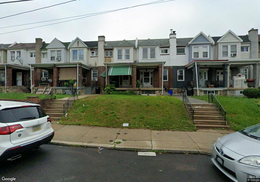
1159 Bridge St Philadelphia, PA 19124
Frankford NeighborhoodEstimated Value: $205,476 - $226,000
3
Beds
1
Bath
1,248
Sq Ft
$171/Sq Ft
Est. Value
About This Home
This home is located at 1159 Bridge St, Philadelphia, PA 19124 and is currently estimated at $213,369, approximately $170 per square foot. 1159 Bridge St is a home located in Philadelphia County with nearby schools including Frankford High School, The Philadelphia Charter School for the Arts & Sciences, and Mastery Schools Smedley Elementary.
Ownership History
Date
Name
Owned For
Owner Type
Purchase Details
Closed on
Nov 1, 2000
Sold by
Donohue Mary A and Estate Of Amanda L Ottey
Bought by
Mcmurren Melinda
Current Estimated Value
Home Financials for this Owner
Home Financials are based on the most recent Mortgage that was taken out on this home.
Original Mortgage
$52,872
Interest Rate
7.64%
Mortgage Type
FHA
Create a Home Valuation Report for This Property
The Home Valuation Report is an in-depth analysis detailing your home's value as well as a comparison with similar homes in the area
Home Values in the Area
Average Home Value in this Area
Purchase History
| Date | Buyer | Sale Price | Title Company |
|---|---|---|---|
| Mcmurren Melinda | $52,900 | Security Search & Abstract C |
Source: Public Records
Mortgage History
| Date | Status | Borrower | Loan Amount |
|---|---|---|---|
| Previous Owner | Mcmurren Melinda | $52,872 |
Source: Public Records
Tax History Compared to Growth
Tax History
| Year | Tax Paid | Tax Assessment Tax Assessment Total Assessment is a certain percentage of the fair market value that is determined by local assessors to be the total taxable value of land and additions on the property. | Land | Improvement |
|---|---|---|---|---|
| 2025 | $2,047 | $178,200 | $35,640 | $142,560 |
| 2024 | $2,047 | $178,200 | $35,640 | $142,560 |
| 2023 | $2,047 | $146,200 | $29,240 | $116,960 |
| 2022 | $838 | $101,200 | $29,240 | $71,960 |
| 2021 | $1,468 | $0 | $0 | $0 |
| 2020 | $1,468 | $0 | $0 | $0 |
| 2019 | $1,410 | $0 | $0 | $0 |
| 2018 | $978 | $0 | $0 | $0 |
| 2017 | $1,398 | $0 | $0 | $0 |
| 2016 | $978 | $0 | $0 | $0 |
| 2015 | $937 | $0 | $0 | $0 |
| 2014 | -- | $99,900 | $20,800 | $79,100 |
| 2012 | -- | $12,576 | $2,181 | $10,395 |
Source: Public Records
Map
Nearby Homes
- 1137 Bridge St
- 1150 Bridge St
- 1209 E Sanger St
- 5347 Sylvester St
- 1244 E Sanger St
- 5222 Horrocks St
- 5412 Large St
- 1528 E Cheltenham Ave
- 5304 Akron St
- 5403 Oakland St
- 1218 Pratt St
- 1220 Pratt St
- 5345 Akron St
- 5422 Akron St
- 5300 Saul St
- 5446 Akron St
- 5244 Saul St
- 1431 Rosalie St
- 5431 Akron St
- 5407 Saul St
- 1157 Bridge St
- 1161 Bridge St
- 1155 Bridge St
- 1163 Bridge St
- 1165 Bridge St
- 1153 Bridge St
- 1151 Bridge St
- 1167 Bridge St
- 5314 Horrocks St
- 5316 Horrocks St
- 1147 Bridge St
- 5318 Horrocks St
- 1145 Bridge St
- 1154 Brill St
- 5320 Horrocks St
- 1143 Bridge St
- 1150 Brill St
- 5322 Horrocks St
- 1152 Brill St
- 1148 Brill St