1159 Highway 2 Blue Ridge, GA 30513
Estimated Value: $183,633 - $324,000
--
Bed
1
Bath
968
Sq Ft
$272/Sq Ft
Est. Value
About This Home
This home is located at 1159 Highway 2, Blue Ridge, GA 30513 and is currently estimated at $262,908, approximately $271 per square foot. 1159 Highway 2 is a home located in Fannin County with nearby schools including Fannin County High School.
Ownership History
Date
Name
Owned For
Owner Type
Purchase Details
Closed on
Jul 15, 2024
Sold by
Born Toni Lea
Bought by
Born Aaron T
Current Estimated Value
Purchase Details
Closed on
Nov 4, 2010
Sold by
Foster John E
Bought by
Born Toni Lea
Home Financials for this Owner
Home Financials are based on the most recent Mortgage that was taken out on this home.
Original Mortgage
$76,551
Interest Rate
4.33%
Mortgage Type
Future Advance Clause Open End Mortgage
Purchase Details
Closed on
Apr 24, 2006
Sold by
Underhill Russell W
Bought by
Foster John E
Purchase Details
Closed on
Feb 5, 1998
Sold by
Mcgill Juanita
Bought by
Underhill Russell W
Purchase Details
Closed on
Nov 1, 1983
Bought by
Mcgill Juanita
Create a Home Valuation Report for This Property
The Home Valuation Report is an in-depth analysis detailing your home's value as well as a comparison with similar homes in the area
Home Values in the Area
Average Home Value in this Area
Purchase History
| Date | Buyer | Sale Price | Title Company |
|---|---|---|---|
| Born Aaron T | -- | -- | |
| Shaner Atticus Loren | -- | -- | |
| Born Toni Lea | $85,000 | -- | |
| Foster John E | $79,000 | -- | |
| Underhill Russell W | $65,000 | -- | |
| Mcgill Juanita | -- | -- |
Source: Public Records
Mortgage History
| Date | Status | Borrower | Loan Amount |
|---|---|---|---|
| Previous Owner | Born Toni Lea | $76,551 |
Source: Public Records
Tax History Compared to Growth
Tax History
| Year | Tax Paid | Tax Assessment Tax Assessment Total Assessment is a certain percentage of the fair market value that is determined by local assessors to be the total taxable value of land and additions on the property. | Land | Improvement |
|---|---|---|---|---|
| 2024 | $48 | $62,959 | $7,367 | $55,592 |
| 2023 | $53 | $52,173 | $7,367 | $44,806 |
| 2022 | $53 | $52,173 | $7,367 | $44,806 |
| 2021 | $75 | $32,527 | $7,367 | $25,160 |
| 2020 | $75 | $32,527 | $7,367 | $25,160 |
| 2019 | $76 | $32,527 | $7,367 | $25,160 |
| 2018 | $86 | $30,422 | $5,262 | $25,160 |
| 2017 | $545 | $30,808 | $5,262 | $25,546 |
| 2016 | $80 | $23,490 | $5,262 | $18,228 |
| 2015 | $83 | $23,784 | $5,262 | $18,522 |
| 2014 | $83 | $17,697 | $4,017 | $13,680 |
| 2013 | -- | $20,041 | $4,017 | $16,024 |
Source: Public Records
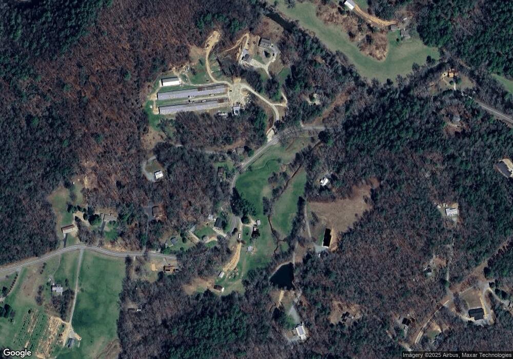
Map
Nearby Homes
- 201 Jaquar Ln
- 120 Sunrock Mountain Trc
- 129 Old Bend Rd
- 120 Sunrock Mountain Trace
- 65 Black Oak Ridge Rd
- 820 Ash Loop Rd
- Lot 19 Black Oak Rd
- 2695 Highway 2
- 2695 Highway 2 Unit 3
- 1264 Sun Rock Mountain Rd
- 308 Hemlock Trail
- 115 Black Oak Ridge Rd
- 2596 Highway 2
- LT 5 Sunrock Mountain Trc
- LT 5 Sunrock Mountain Trace
- LT 4 Sunrock Mountain Trace
- LT 4 Sunrock Mountain Trc
- 401 Sunrock Mountain Trc
- 222 Icy Ln
- HEMLOCK Hemlock Trail
- 1159 Highway 2
- 1159 Highway 2
- 1363 Highway 2
- 1390 Highway 2
- 1420 Highway 2
- 1480 Highway 2
- 1480 Highway 2
- 250 Pond Cove
- 1490 Highway 2
- 1310 Highway 2
- 1461 Highway 2
- 1296 Highway 2
- 308 Chestnut Gap Ln
- 1505 Highway 2
- 1204 Highway 2
- 1204 Highway 2
- 1250 Highway 2
- 304 Chestnut Gap Ln
- 1580 Highway 2
- 1254 Highway 2