1159 Redding Rd Fairfield, CT 06824
Greenfield Hill NeighborhoodEstimated Value: $2,460,291 - $4,984,000
Studio
--
Bath
--
Sq Ft
797,148
Sq Ft
About This Home
This home is located at 1159 Redding Rd, Fairfield, CT 06824 and is currently estimated at $3,560,764. 1159 Redding Rd is a home located in Fairfield County with nearby schools including Dwight Elementary School, Roger Ludlowe Middle School, and Fairfield Ludlowe High School.
Ownership History
Date
Name
Owned For
Owner Type
Purchase Details
Closed on
May 11, 2001
Sold by
Par Dev Llc
Bought by
Dinardo Salvatore K
Current Estimated Value
Purchase Details
Closed on
Mar 29, 2000
Sold by
Murren James V and Hay-Murren Heather
Bought by
Par Development
Purchase Details
Closed on
Dec 28, 1995
Sold by
Keeley Esther Est
Bought by
Murren James J and Hay-Murren Heather
Create a Home Valuation Report for This Property
The Home Valuation Report is an in-depth analysis detailing your home's value as well as a comparison with similar homes in the area
Home Values in the Area
Average Home Value in this Area
Purchase History
| Date | Buyer | Sale Price | Title Company |
|---|---|---|---|
| Dinardo Salvatore K | $2,550,000 | -- | |
| Dinardo Salvatore K | $2,550,000 | -- | |
| Par Development | $2,200,000 | -- | |
| Par Development | $2,200,000 | -- | |
| Murren James J | $1,375,000 | -- | |
| Murren James J | $1,375,000 | -- |
Source: Public Records
Mortgage History
| Date | Status | Borrower | Loan Amount |
|---|---|---|---|
| Open | Murren James J | $4,000,000 | |
| Closed | Murren James J | $2,500,000 |
Source: Public Records
Tax History
| Year | Tax Paid | Tax Assessment Tax Assessment Total Assessment is a certain percentage of the fair market value that is determined by local assessors to be the total taxable value of land and additions on the property. | Land | Improvement |
|---|---|---|---|---|
| 2025 | $27,799 | $979,200 | $380,350 | $598,850 |
| 2024 | $27,320 | $979,200 | $380,350 | $598,850 |
| 2023 | $26,938 | $979,200 | $380,350 | $598,850 |
| 2022 | $26,673 | $979,200 | $380,350 | $598,850 |
| 2021 | $26,419 | $979,200 | $380,350 | $598,850 |
| 2020 | $27,589 | $1,029,840 | $431,270 | $598,570 |
| 2019 | $27,589 | $1,029,840 | $431,270 | $598,570 |
| 2018 | $27,147 | $1,029,840 | $431,270 | $598,570 |
| 2017 | $26,590 | $1,029,840 | $431,270 | $598,570 |
| 2016 | $26,209 | $1,029,840 | $431,270 | $598,570 |
| 2015 | $26,137 | $1,054,340 | $491,050 | $563,290 |
| 2014 | $25,726 | $1,054,340 | $491,050 | $563,290 |
Source: Public Records
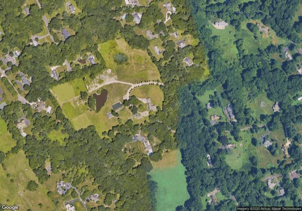
Map
Nearby Homes
- 1380 Old Academy Rd
- 2683 Bronson Rd
- 110 Queens Grant Dr
- 3674 Congress St
- 2177 Cross Hwy
- 688 Hulls Farm Rd
- 88 Merry Meet Cir
- 212 Fence Row Dr
- 22 Brett Rd
- 21 Sturges Commons
- 158 Coventry Ln
- 1 Sturges Hwy Unit Lot 1
- 1 Sturges Hwy Unit 2
- 4800 Congress St
- 360 Duck Farm Rd
- 148 Millspaugh Dr
- 10 Debra Ln
- 180 Catamount Rd
- 281 Wood House Rd
- 6 Nutcracker Ln
- 1081 Redding Rd
- 1261 Redding Rd
- 1220 Redding Rd
- 1412 Old Academy Rd
- 1301 Redding Rd
- 1268 Redding Rd
- 1244 Redding Rd
- 1009 Redding Rd
- 480 Riders Ln
- 1341 Redding Rd
- 469 Riders Ln
- 1310 Redding Rd
- 311 Dunham Rd
- 1381 Old Academy Rd
- 1373 Redding Rd
- 280 Fair Oak Dr
- 426 Riders Ln
- 255 Quarter Horse Ln
- 939 Redding Rd
- 457 Dunham Rd
Your Personal Tour Guide
Ask me questions while you tour the home.