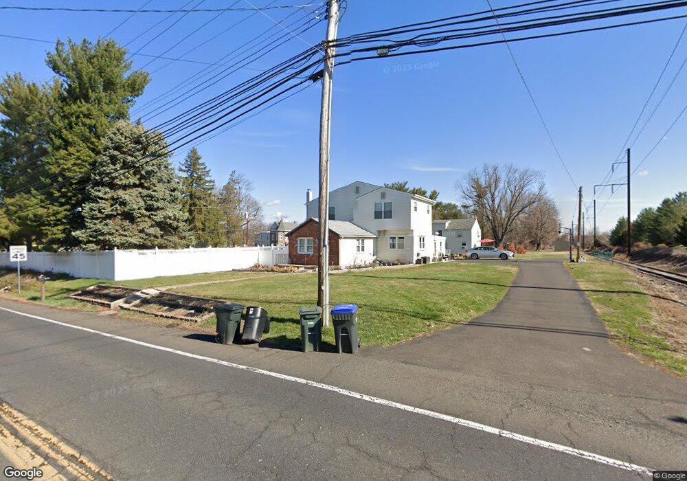
1159 W Bristol Rd Warminster, PA 18974
Estimated Value: $382,000 - $715,000
5
Beds
3
Baths
2,168
Sq Ft
$225/Sq Ft
Est. Value
About This Home
This home is located at 1159 W Bristol Rd, Warminster, PA 18974 and is currently estimated at $487,336, approximately $224 per square foot. 1159 W Bristol Rd is a home with nearby schools including Maureen M. Welch Elementary School, Richboro Middle School, and Council Rock High School - South.
Ownership History
Date
Name
Owned For
Owner Type
Purchase Details
Closed on
Feb 8, 2010
Sold by
Griffin Joseph A and Griffin Christine M
Bought by
Griffin Christine M
Current Estimated Value
Home Financials for this Owner
Home Financials are based on the most recent Mortgage that was taken out on this home.
Original Mortgage
$235,000
Outstanding Balance
$156,616
Interest Rate
5.17%
Mortgage Type
New Conventional
Estimated Equity
$330,720
Create a Home Valuation Report for This Property
The Home Valuation Report is an in-depth analysis detailing your home's value as well as a comparison with similar homes in the area
Home Values in the Area
Average Home Value in this Area
Purchase History
| Date | Buyer | Sale Price | Title Company |
|---|---|---|---|
| Griffin Christine M | -- | None Available |
Source: Public Records
Mortgage History
| Date | Status | Borrower | Loan Amount |
|---|---|---|---|
| Open | Griffin Christine M | $235,000 |
Source: Public Records
Tax History Compared to Growth
Tax History
| Year | Tax Paid | Tax Assessment Tax Assessment Total Assessment is a certain percentage of the fair market value that is determined by local assessors to be the total taxable value of land and additions on the property. | Land | Improvement |
|---|---|---|---|---|
| 2025 | $6,077 | $31,550 | $5,300 | $26,250 |
| 2024 | $6,077 | $31,550 | $5,300 | $26,250 |
| 2023 | $5,727 | $31,550 | $5,300 | $26,250 |
| 2022 | $5,675 | $31,550 | $5,300 | $26,250 |
| 2021 | $5,495 | $31,550 | $5,300 | $26,250 |
| 2020 | $5,372 | $31,550 | $5,300 | $26,250 |
| 2019 | $5,142 | $31,550 | $5,300 | $26,250 |
| 2018 | $4,098 | $25,600 | $6,640 | $18,960 |
| 2017 | $3,940 | $25,600 | $6,640 | $18,960 |
| 2016 | $3,940 | $25,600 | $6,640 | $18,960 |
| 2015 | -- | $25,600 | $6,640 | $18,960 |
| 2014 | -- | $25,600 | $6,640 | $18,960 |
Source: Public Records
Map
Nearby Homes
- 146 Grandview Dr
- 1297 Twin Streams Dr
- 11 Lincoln Ave
- 109 Wilson Ave
- 56 Parry Way
- 451 Twin Streams Dr
- 10 Spring Mill Dr
- 9 Spring Mill Dr
- 11 Spring Mill Dr
- 55 Parry Way
- The Addis Plan at The Reserve at Spring Mill
- The Beckett Plan at The Reserve at Spring Mill
- 59 Parry Way
- 8 Lacey Ln
- 18 Lacey Ln
- 667 Arbor Ln
- 1240 June Rd
- 675 Cheryl Dr
- 1256 Dahlia Rd
- 1008 Julian Dr W Unit W
- 21 Miles Rd
- 210 W Bristol Rd
- 98 Grandview Dr
- 96 Grandview Dr
- 16 Miles Rd
- 1177 W Bristol Rd
- 104 Grandview Dr
- 220 W Bristol Rd Unit B
- 220 W Bristol Rd
- 94 Grandview Dr
- 92 Grandview Dr
- 106 Grandview Dr
- 108 Grandview Dr
- 45 Miles Rd
- 90 Grandview Dr
- 226 W Bristol Rd
- 110 Grandview Dr
- 112 Grandview Dr
- 218 W Bristol Rd
- 232 W Bristol Rd