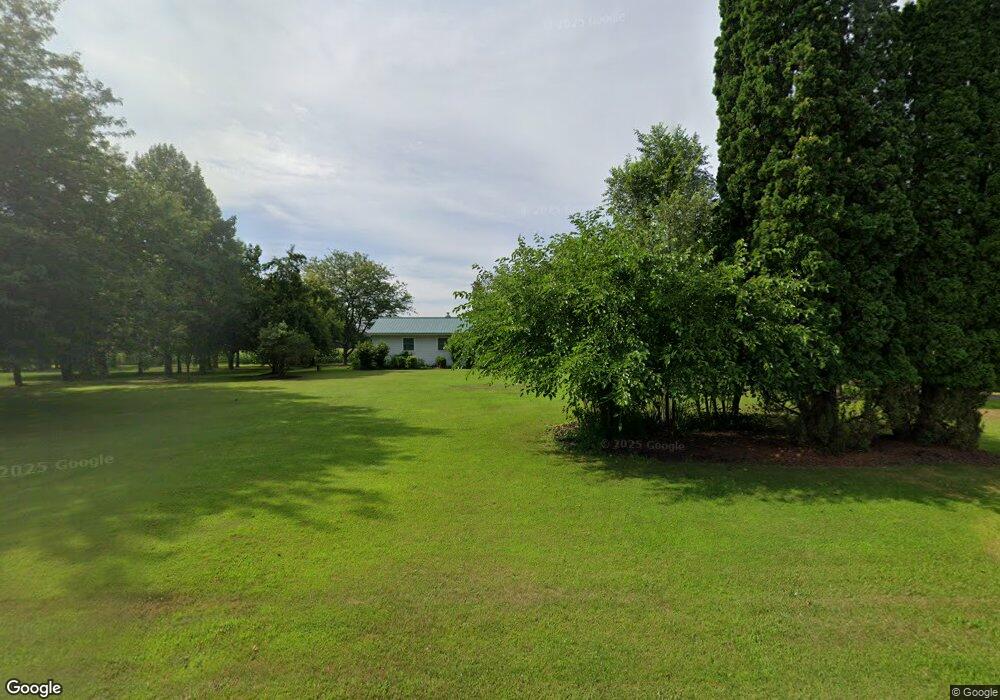
1159 W Taft Rd Saint Johns, MI 48879
Estimated Value: $193,000 - $311,000
--
Bed
2
Baths
1,140
Sq Ft
$222/Sq Ft
Est. Value
About This Home
This home is located at 1159 W Taft Rd, Saint Johns, MI 48879 and is currently estimated at $253,630, approximately $222 per square foot. 1159 W Taft Rd is a home located in Clinton County with nearby schools including St. Johns High School and St Joseph Catholic School.
Ownership History
Date
Name
Owned For
Owner Type
Purchase Details
Closed on
Sep 8, 2020
Sold by
Edward W Dinstbler Trust No I
Bought by
Place Joseph L and Place Shirley A
Current Estimated Value
Home Financials for this Owner
Home Financials are based on the most recent Mortgage that was taken out on this home.
Original Mortgage
$185,400
Outstanding Balance
$164,530
Interest Rate
2.9%
Mortgage Type
New Conventional
Estimated Equity
$89,100
Purchase Details
Closed on
Aug 20, 2018
Sold by
Weismiller Sandra L and Dinstbier Edward W
Bought by
Dinstbier Edward W and Weismiller Sandra L
Create a Home Valuation Report for This Property
The Home Valuation Report is an in-depth analysis detailing your home's value as well as a comparison with similar homes in the area
Home Values in the Area
Average Home Value in this Area
Purchase History
| Date | Buyer | Sale Price | Title Company |
|---|---|---|---|
| Place Joseph L | $206,000 | Ata National Title Group Llc | |
| Dinstbier Edward W | -- | None Available |
Source: Public Records
Mortgage History
| Date | Status | Borrower | Loan Amount |
|---|---|---|---|
| Open | Place Joseph L | $185,400 |
Source: Public Records
Tax History Compared to Growth
Tax History
| Year | Tax Paid | Tax Assessment Tax Assessment Total Assessment is a certain percentage of the fair market value that is determined by local assessors to be the total taxable value of land and additions on the property. | Land | Improvement |
|---|---|---|---|---|
| 2025 | -- | $109,500 | $31,700 | $77,800 |
| 2024 | $995 | $100,500 | $31,400 | $69,100 |
| 2023 | $942 | $93,000 | $0 | $0 |
| 2022 | $2,136 | $83,400 | $32,100 | $51,300 |
| 2021 | $2,048 | $73,400 | $24,700 | $48,700 |
| 2020 | $1,476 | $68,600 | $19,800 | $48,800 |
| 2019 | $1,400 | $64,100 | $17,100 | $47,000 |
| 2018 | $1,367 | $55,900 | $12,300 | $43,600 |
| 2017 | -- | $54,600 | $10,300 | $44,300 |
| 2016 | $1,324 | $54,500 | $10,300 | $44,200 |
| 2015 | -- | $51,700 | $0 | $0 |
| 2011 | -- | $59,300 | $0 | $0 |
Source: Public Records
Map
Nearby Homes
- 0 S Us 27 Unit 287962
- 1080 Woodridge Dr
- 1060 Woodridge Dr
- 1055 Summerfield Ln
- 1180 Harvest Moon Way
- 1315 Harvest Moon Way
- 3180 S Bus 127
- 1300 Superior Dr Unit 1
- 1480 Superior Dr Unit 24
- 1396 Superior Dr Unit 28
- 1398 Superior Dr Unit 27
- 4275 S Dewitt Rd
- 2239 Secretariat Ln
- 2320 Secretariat Ln
- 2353 Winners Cir
- 2403 W Gallant Fox Way
- 2386 W Gallant Fox Way
- 1275 Fieldstone Dr
- 700 E Townsend Rd
- 1519 S Lansing St
- 1107 W Taft Rd
- 1197 W Taft Rd
- 1087 W Taft Rd
- 1140 W Taft Rd
- 1213 W Taft Rd
- 1200 W Taft Rd
- 1120 W Taft Rd
- 1001 W Taft Rd
- 1100 W Taft Rd
- 1090 W Taft Rd
- 1299 W Taft Rd
- 4104 S Us 27 St
- 2343 S Us 27
- 2588 S Us 27
- 2997 S Us 27
- 3900 S Us Highway 27
- 0 S Us 27 St Unit 169765
- 0 S Us 27 Unit 50347
- 0 S Us 27 St Unit 276088
- 0 S Us 27 St Unit L224958