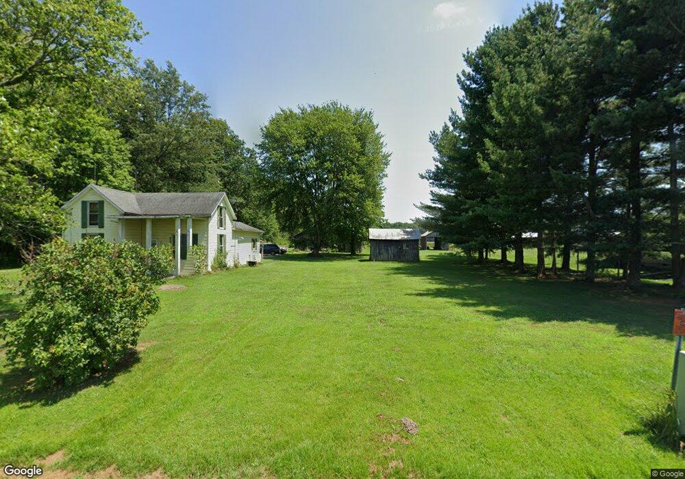
11594 Steinman Rd Georgetown, OH 45121
Estimated Value: $169,387 - $328,000
5
Beds
1
Bath
1,569
Sq Ft
$171/Sq Ft
Est. Value
About This Home
This home is located at 11594 Steinman Rd, Georgetown, OH 45121 and is currently estimated at $268,847, approximately $171 per square foot. 11594 Steinman Rd is a home located in Brown County with nearby schools including Sardinia Elementary School, Russellville Elementary School, and Eastern Middle School.
Ownership History
Date
Name
Owned For
Owner Type
Purchase Details
Closed on
Mar 31, 2022
Sold by
Ketterer Michael A
Bought by
Ketterer Michael A and Ketterer Mary L
Current Estimated Value
Purchase Details
Closed on
Oct 29, 2014
Sold by
Ketterer Tina M
Bought by
Ketterer Michael E
Purchase Details
Closed on
Nov 16, 1999
Sold by
Ferguson Ray E
Bought by
Ketterer Michael E and Ketterer Tina M
Home Financials for this Owner
Home Financials are based on the most recent Mortgage that was taken out on this home.
Original Mortgage
$65,000
Interest Rate
7.72%
Mortgage Type
New Conventional
Create a Home Valuation Report for This Property
The Home Valuation Report is an in-depth analysis detailing your home's value as well as a comparison with similar homes in the area
Purchase History
| Date | Buyer | Sale Price | Title Company |
|---|---|---|---|
| Ketterer Michael A | -- | None Listed On Document | |
| Ketterer Michael E | -- | None Available | |
| Ketterer Michael E | $105,000 | -- |
Source: Public Records
Mortgage History
| Date | Status | Borrower | Loan Amount |
|---|---|---|---|
| Previous Owner | Ketterer Michael E | $65,000 |
Source: Public Records
Tax History
| Year | Tax Paid | Tax Assessment Tax Assessment Total Assessment is a certain percentage of the fair market value that is determined by local assessors to be the total taxable value of land and additions on the property. | Land | Improvement |
|---|---|---|---|---|
| 2024 | $1,281 | $40,620 | $17,970 | $22,650 |
| 2023 | $1,299 | $31,490 | $14,090 | $17,400 |
| 2022 | $1,069 | $31,490 | $14,090 | $17,400 |
| 2021 | $1,058 | $31,490 | $14,090 | $17,400 |
| 2020 | $950 | $27,390 | $12,260 | $15,130 |
| 2019 | $943 | $27,390 | $12,260 | $15,130 |
| 2018 | $935 | $27,390 | $12,260 | $15,130 |
| 2017 | $924 | $28,460 | $13,480 | $14,980 |
| 2016 | $924 | $28,460 | $13,480 | $14,980 |
| 2015 | $941 | $28,460 | $13,480 | $14,980 |
| 2014 | $941 | $27,240 | $12,260 | $14,980 |
| 2013 | $938 | $27,240 | $12,260 | $14,980 |
Source: Public Records
Map
Nearby Homes
- 6614 Ashridge Arnheim Rd
- 4940 Goose Run Rd
- 106 Sequoia Dr
- 1655 Waynoka Dr
- AC Stony Hollow Rd
- 0 Zuni Dr Unit 1860578
- 120 Haw Dr
- LOT Waynoka Dr
- 14 Hammerhead Cove
- 440 Waynoka Dr
- 2978 Yuma Dr
- 3655 Yuma Dr
- 3064 Rio Brazos Dr
- 3468 Custer Dr
- 1236 Tupelo Dr
- 88 Navajo Dr
- 3380 Black Hawk Dr
- 0 Black Hawk Dr Unit 1859576
- 3379 Black Hawk Dr
- 559 Waynoka Dr
- 11576 Steinman Rd
- 11540 Steinman Rd
- 11661 Steinman Rd
- 11517 Steinman Rd
- 11674 Steinman Rd
- 11704 Brownstown Arnheim Rd
- 7881 Steinman Rd
- 13176 Steinman Rd
- 13146 Steinman Rd
- 13427 Steinman Rd
- 12985 Steinman Rd
- 11880 Brownstown Arnheim Rd
- 11897 Brownstown Arhiem Rd
- 11897 Brownstown Arnheim Rd
- 11941 Brownstown Arnheim Rd
- 11252 Steinman Rd
- 11331 Brownstown Arnheim Rd
- 11952 Brownstown Arnheim Rd
- 11969 Brownstown Arnheim Rd
- 11995 Brownstown Arnheim Rd