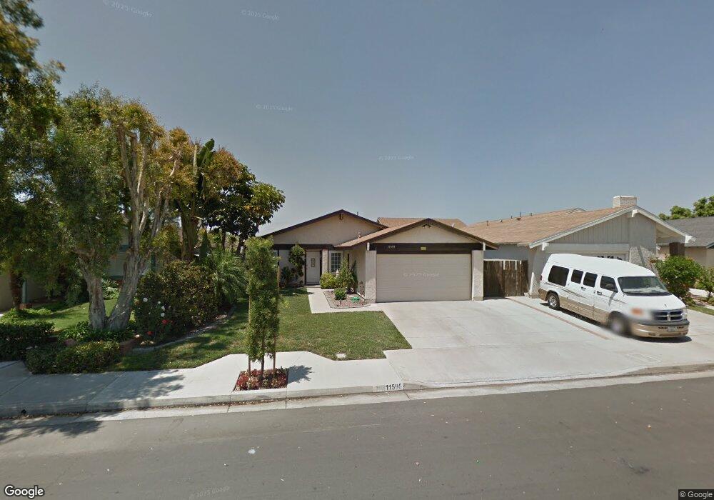
11595 Java St Cypress, CA 90630
Estimated Value: $996,385 - $1,156,000
4
Beds
2
Baths
1,320
Sq Ft
$799/Sq Ft
Est. Value
About This Home
This home is located at 11595 Java St, Cypress, CA 90630 and is currently estimated at $1,055,096, approximately $799 per square foot. 11595 Java St is a home located in Orange County with nearby schools including Patton Elementary School, Hilton D. Bell Intermediate School, and Pacifica High School.
Ownership History
Date
Name
Owned For
Owner Type
Purchase Details
Closed on
Jul 21, 2009
Sold by
Tupas Jose S and Tupas Romina M
Bought by
Tupas Jose S and Tupas Romina M
Current Estimated Value
Purchase Details
Closed on
Nov 23, 1994
Sold by
Murgia Edward
Bought by
Tupas Jose and Tupas Romina M
Home Financials for this Owner
Home Financials are based on the most recent Mortgage that was taken out on this home.
Original Mortgage
$192,850
Interest Rate
9.2%
Create a Home Valuation Report for This Property
The Home Valuation Report is an in-depth analysis detailing your home's value as well as a comparison with similar homes in the area
Home Values in the Area
Average Home Value in this Area
Purchase History
| Date | Buyer | Sale Price | Title Company |
|---|---|---|---|
| Tupas Jose S | -- | None Available | |
| Tupas Jose | $203,000 | Commonwealth Land Title |
Source: Public Records
Mortgage History
| Date | Status | Borrower | Loan Amount |
|---|---|---|---|
| Closed | Tupas Jose | $192,850 |
Source: Public Records
Tax History
| Year | Tax Paid | Tax Assessment Tax Assessment Total Assessment is a certain percentage of the fair market value that is determined by local assessors to be the total taxable value of land and additions on the property. | Land | Improvement |
|---|---|---|---|---|
| 2025 | $3,945 | $340,969 | $232,788 | $108,181 |
| 2024 | $3,945 | $334,284 | $228,224 | $106,060 |
| 2023 | $3,868 | $327,730 | $223,749 | $103,981 |
| 2022 | $3,808 | $321,304 | $219,361 | $101,943 |
| 2021 | $3,770 | $315,004 | $215,059 | $99,945 |
| 2020 | $3,727 | $311,775 | $212,854 | $98,921 |
| 2019 | $3,634 | $305,662 | $208,680 | $96,982 |
| 2018 | $3,575 | $299,669 | $204,588 | $95,081 |
| 2017 | $3,525 | $293,794 | $200,577 | $93,217 |
| 2016 | $3,373 | $288,034 | $196,644 | $91,390 |
| 2015 | $3,330 | $283,708 | $193,690 | $90,018 |
| 2014 | $3,213 | $278,151 | $189,896 | $88,255 |
Source: Public Records
Map
Nearby Homes
- 11537 Samoa St
- 5787 Santa Barbara Ave
- 11731 Bailey St
- 11739 Bailey St
- 11725 Bailey St
- 6011 Santa Barbara Ave
- 6022 Santa Barbara Ave
- 11335 Culebra St
- 11608 Onyx St
- 11852 Topaz Cir
- 12091 Blackmer St
- 6517 Orangewood Ave
- 12272 Chase St
- 11961 Bartlett St
- 6595 Jaluit St
- 11473 Miscou Way
- 6638 Southampton Dr
- 11268 Morgen Way
- 6584 Capers Way
- 11271 Lowell Ct
Your Personal Tour Guide
Ask me questions while you tour the home.