11595 State Route 701 Kenton, OH 43326
Estimated Value: $281,000 - $1,157,275
4
Beds
1
Bath
2,080
Sq Ft
$346/Sq Ft
Est. Value
About This Home
This home is located at 11595 State Route 701, Kenton, OH 43326 and is currently estimated at $719,138, approximately $345 per square foot. 11595 State Route 701 is a home located in Hardin County with nearby schools including Hardin Northern Elementary School and Hardin Northern High School.
Ownership History
Date
Name
Owned For
Owner Type
Purchase Details
Closed on
Jun 1, 2012
Sold by
Gerlach Bernard E and Gerlach Susan G
Bought by
Gerlach Jamie M and The Gerlach Principal Protection Trust
Current Estimated Value
Purchase Details
Closed on
Dec 12, 1995
Bought by
Gerlach Bernard E Trust
Purchase Details
Closed on
Feb 25, 1994
Bought by
Gerlach Ronald E and Gerlach Berna
Create a Home Valuation Report for This Property
The Home Valuation Report is an in-depth analysis detailing your home's value as well as a comparison with similar homes in the area
Home Values in the Area
Average Home Value in this Area
Purchase History
| Date | Buyer | Sale Price | Title Company |
|---|---|---|---|
| Gerlach Jamie M | -- | None Available | |
| Gerlach Bernard E | -- | None Available | |
| Gerlach Bernard E Trust | -- | -- | |
| Gerlach Ronald E | -- | -- |
Source: Public Records
Tax History Compared to Growth
Tax History
| Year | Tax Paid | Tax Assessment Tax Assessment Total Assessment is a certain percentage of the fair market value that is determined by local assessors to be the total taxable value of land and additions on the property. | Land | Improvement |
|---|---|---|---|---|
| 2024 | $6,963 | $190,240 | $159,600 | $30,640 |
| 2023 | $6,963 | $190,240 | $159,600 | $30,640 |
| 2022 | $4,940 | $108,160 | $83,710 | $24,450 |
| 2021 | $4,965 | $108,160 | $83,710 | $24,450 |
| 2020 | $4,990 | $108,160 | $83,710 | $24,450 |
| 2019 | $6,838 | $160,890 | $138,490 | $22,400 |
| 2018 | $6,874 | $160,890 | $138,490 | $22,400 |
| 2017 | $6,834 | $160,890 | $138,490 | $22,400 |
| 2016 | $8,234 | $205,420 | $183,620 | $21,800 |
| 2015 | $8,039 | $205,420 | $183,620 | $21,800 |
| 2014 | $4,168 | $205,960 | $183,620 | $22,340 |
| 2013 | $2,377 | $102,790 | $81,760 | $21,030 |
Source: Public Records
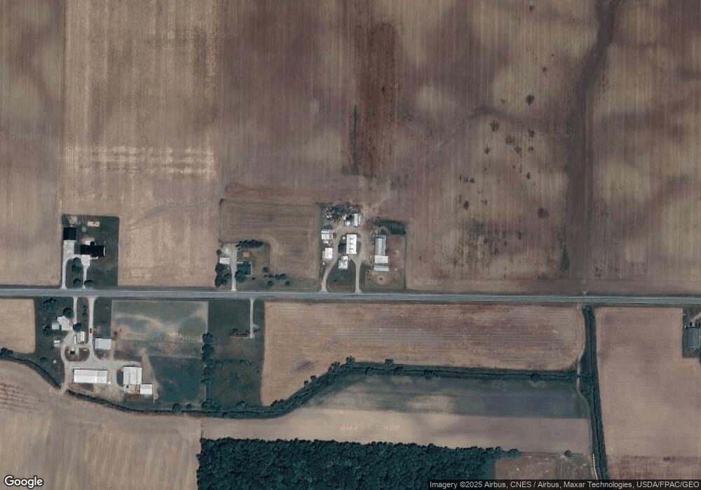
Map
Nearby Homes
- 2375 Wayne St
- 8187 Township Road 90
- 5091 County Road 175
- 0 Township Road 64
- 1568 State Route 68
- 700 N Ida St
- 0000 Musson Rd
- 406 Terry St
- 368 N Ida St
- 9224 County Road 14
- 602 N Wayne St
- 777 Maydoll Dr
- 618 N High St
- 723 W Lima St Unit 1
- 416 N Cherry St
- 328 N Detroit St
- 0 Ohio 309
- 458 W Columbus St
- 702 W Franklin St Unit 702 1/2
- 233 N Main St
- 11513 State Route 701
- 11389 State Route 701
- 11372 State Route 701
- 11904 State Route 701
- 6114 County Road 135
- 12052 State Route 701
- 11184 State Route 701
- 6250 County Road 135
- 6451 County Road 135
- 12246 State Route 701
- 5523 Township Road 125
- 12324 State Route 701
- 5587 Township Road 139
- 5701 Tr 125
- 6229 Township Road 125
- 5523 County Road 135
- 12394 State Route 701
- 12410 State Route 701
- 12434 State Route 701
- 10817 State Route 701