11597 W 550 N Delphi, IN 46923
Estimated Value: $239,000 - $332,288
3
Beds
2
Baths
1,352
Sq Ft
$203/Sq Ft
Est. Value
About This Home
This home is located at 11597 W 550 N, Delphi, IN 46923 and is currently estimated at $274,763, approximately $203 per square foot. 11597 W 550 N is a home located in Carroll County with nearby schools including Delphi Community Elementary School, Delphi Community Middle School, and Delphi Community High School.
Ownership History
Date
Name
Owned For
Owner Type
Purchase Details
Closed on
Jun 21, 2005
Sold by
Draper Robert Dale and Draper Mae
Bought by
Lybrook David A
Current Estimated Value
Home Financials for this Owner
Home Financials are based on the most recent Mortgage that was taken out on this home.
Original Mortgage
$117,715
Outstanding Balance
$61,415
Interest Rate
5.75%
Mortgage Type
New Conventional
Estimated Equity
$213,348
Purchase Details
Closed on
May 27, 2005
Sold by
Walters Tammie
Bought by
Lybrookd David A
Home Financials for this Owner
Home Financials are based on the most recent Mortgage that was taken out on this home.
Original Mortgage
$117,715
Outstanding Balance
$61,415
Interest Rate
5.75%
Mortgage Type
New Conventional
Estimated Equity
$213,348
Purchase Details
Closed on
Aug 27, 2001
Sold by
Draper Robert D & Marjorie M Trust
Bought by
Lybrook David A and Lybrook Tammie Walters
Create a Home Valuation Report for This Property
The Home Valuation Report is an in-depth analysis detailing your home's value as well as a comparison with similar homes in the area
Home Values in the Area
Average Home Value in this Area
Purchase History
| Date | Buyer | Sale Price | Title Company |
|---|---|---|---|
| Lybrook David A | -- | None Available | |
| Lybrookd David A | -- | None Available | |
| Lybrook David A | $135,000 | -- |
Source: Public Records
Mortgage History
| Date | Status | Borrower | Loan Amount |
|---|---|---|---|
| Open | Lybrook David A | $117,715 |
Source: Public Records
Tax History Compared to Growth
Tax History
| Year | Tax Paid | Tax Assessment Tax Assessment Total Assessment is a certain percentage of the fair market value that is determined by local assessors to be the total taxable value of land and additions on the property. | Land | Improvement |
|---|---|---|---|---|
| 2024 | $1,370 | $207,600 | $56,400 | $151,200 |
| 2023 | $969 | $167,200 | $53,100 | $114,100 |
| 2022 | $969 | $153,700 | $49,700 | $104,000 |
| 2021 | $887 | $139,700 | $47,900 | $91,800 |
| 2020 | $844 | $127,900 | $43,900 | $84,000 |
| 2019 | $850 | $123,500 | $46,200 | $77,300 |
| 2018 | $790 | $122,100 | $46,700 | $75,400 |
| 2017 | $770 | $123,900 | $48,700 | $75,200 |
| 2016 | $780 | $120,300 | $44,400 | $75,900 |
| 2014 | $470 | $90,500 | $40,400 | $50,100 |
Source: Public Records
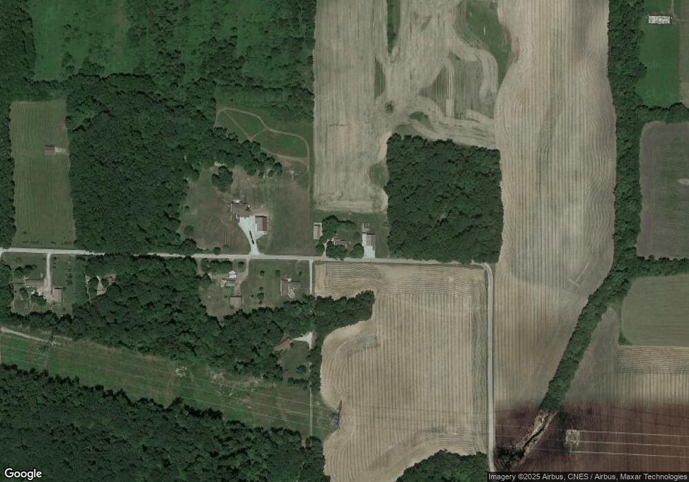
Map
Nearby Homes
- 6369 N 1225 West Crossroad
- 11503 W Tecumseh Bend Rd
- 7801 N Upper Hambridge Dr
- 10360 S Wildwood Ct
- 4139 N 900 W
- 5639 S Richey Ln
- 9331 W 310 N
- 2801 N 930 W Unit 10
- 5826 E St John Ave
- Lot 28 Snider Ct Unit 28
- Lot 37 Snider Ct Unit 37
- Lot 31 Snider Ct Unit 31
- Lot 38 Snider Ct Unit 38
- Lot 36 Snider Ct Unit 36
- Lot 39 Snider Ct Unit 39
- 5116 S Reagan Dr
- Lot 1 S 300 E
- 1158 N Brewer Ave
- 11400 W Paradise Rd
- 11791 W Pirates Roost Rd
- 11614 W 550 N
- 11633 W 550 N
- 11610 W 550 N
- 11650 W 550 N
- 11714 W 550 N
- 5152 N 1145 W
- 0 N 1145 W
- 11378 W 525 N
- 11299 W 525 N
- 11294 W Horseshoe Bend Rd
- 11230 W Horseshoe Bend Rd
- 11302 W Horseshoe Bend Rd
- 11216 W Horseshoe Bend Rd
- 5104 N 1145 W
- 11196 W Horseshoe Bend Rd
- 5114 N 1145 W
- 11312 W Horseshoe Bend Rd
- 11188 W Horseshoe Bend Rd
- 11770 W 550 N
- 5082 N 1145 W