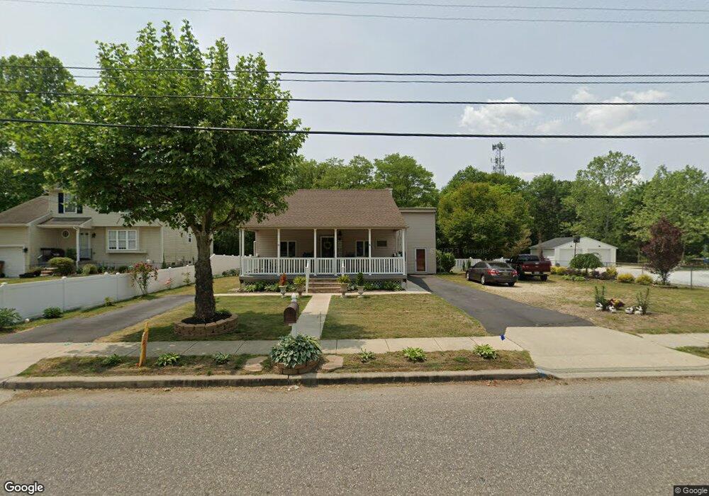
116 Barker Ave Bridgeport, NJ 08014
Estimated Value: $267,000 - $306,000
Studio
--
Bath
1,582
Sq Ft
$179/Sq Ft
Est. Value
About This Home
This home is located at 116 Barker Ave, Bridgeport, NJ 08014 and is currently estimated at $283,336, approximately $179 per square foot. 116 Barker Ave is a home located in Gloucester County with nearby schools including Logan Township Elementary School, Frederick Douglass Christian School, and Faith Temple Christian School.
Ownership History
Date
Name
Owned For
Owner Type
Purchase Details
Closed on
Sep 23, 2005
Sold by
Spectrum Development Inc
Bought by
Bryson Bernard J and Bryson Melinda J
Current Estimated Value
Purchase Details
Closed on
Jul 23, 2004
Sold by
Jarvis Robert and Jarvis Bonny
Bought by
Hernandez Luis F and Rivera Maritza
Home Financials for this Owner
Home Financials are based on the most recent Mortgage that was taken out on this home.
Original Mortgage
$137,750
Interest Rate
6.28%
Mortgage Type
Purchase Money Mortgage
Create a Home Valuation Report for This Property
The Home Valuation Report is an in-depth analysis detailing your home's value as well as a comparison with similar homes in the area
Home Values in the Area
Average Home Value in this Area
Purchase History
| Date | Buyer | Sale Price | Title Company |
|---|---|---|---|
| Bryson Bernard J | $200,325 | Congress Title | |
| Hernandez Luis F | $145,000 | Intercoastal Title Agency |
Source: Public Records
Mortgage History
| Date | Status | Borrower | Loan Amount |
|---|---|---|---|
| Previous Owner | Hernandez Luis F | $137,750 |
Source: Public Records
Tax History
| Year | Tax Paid | Tax Assessment Tax Assessment Total Assessment is a certain percentage of the fair market value that is determined by local assessors to be the total taxable value of land and additions on the property. | Land | Improvement |
|---|---|---|---|---|
| 2025 | $3,868 | $297,500 | $56,500 | $241,000 |
| 2024 | $3,604 | $297,500 | $56,500 | $241,000 |
| 2023 | $3,604 | $179,300 | $31,500 | $147,800 |
| 2022 | $3,746 | $179,300 | $31,500 | $147,800 |
| 2021 | $3,882 | $179,300 | $31,500 | $147,800 |
| 2020 | $3,900 | $179,300 | $31,500 | $147,800 |
| 2019 | $3,894 | $179,300 | $31,500 | $147,800 |
| 2018 | $3,787 | $179,300 | $31,500 | $147,800 |
| 2017 | $3,959 | $157,900 | $29,500 | $128,400 |
| 2016 | $3,894 | $157,900 | $29,500 | $128,400 |
| 2015 | $3,442 | $157,900 | $29,500 | $128,400 |
| 2014 | $3,338 | $157,900 | $29,500 | $128,400 |
Source: Public Records
Map
Nearby Homes
- 71 Main St
- 42 Main St Unit 44
- 126 Repaupo Station Rd
- 43 45 Repaupo Station Rd
- 788 Paulsboro Rd
- 792 Paulsboro Rd
- 17 Hickory Ln
- 14 Hickory Ln
- 2153 Route 322
- 640 High St
- 204 Stirrup Rd
- 433 Jefferson St
- 12 Parker St
- 121 123 N Repauno Ave
- 361 Democrat Rd
- 111 Carriage Ln
- 101 Giammarino Ave
- 1706 W 2nd St
- 220 Kerlin St
- 157 S School St
Your Personal Tour Guide
Ask me questions while you tour the home.