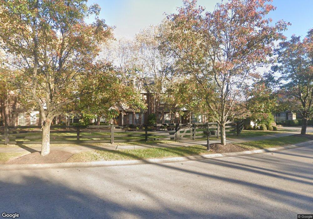
116 Bethpage Path Georgetown, KY 40324
Southeast Scott County NeighborhoodEstimated Value: $415,936 - $558,000
3
Beds
3
Baths
2,300
Sq Ft
$215/Sq Ft
Est. Value
About This Home
This home is located at 116 Bethpage Path, Georgetown, KY 40324 and is currently estimated at $494,234, approximately $214 per square foot. 116 Bethpage Path is a home located in Scott County with nearby schools including Eastern Elementary School, Scott County Middle School, and Scott County High School.
Ownership History
Date
Name
Owned For
Owner Type
Purchase Details
Closed on
Feb 9, 2005
Sold by
Golf Townhomes Of Cherry Blossom Llc
Bought by
Blankenship Dallas J and Blankenship Helen C
Current Estimated Value
Home Financials for this Owner
Home Financials are based on the most recent Mortgage that was taken out on this home.
Original Mortgage
$130,000
Interest Rate
5.68%
Mortgage Type
New Conventional
Create a Home Valuation Report for This Property
The Home Valuation Report is an in-depth analysis detailing your home's value as well as a comparison with similar homes in the area
Home Values in the Area
Average Home Value in this Area
Purchase History
| Date | Buyer | Sale Price | Title Company |
|---|---|---|---|
| Blankenship Dallas J | $376,268 | None Available |
Source: Public Records
Mortgage History
| Date | Status | Borrower | Loan Amount |
|---|---|---|---|
| Closed | Blankenship Dallas J | $130,000 |
Source: Public Records
Tax History
| Year | Tax Paid | Tax Assessment Tax Assessment Total Assessment is a certain percentage of the fair market value that is determined by local assessors to be the total taxable value of land and additions on the property. | Land | Improvement |
|---|---|---|---|---|
| 2025 | $3,209 | $409,400 | $0 | $0 |
| 2024 | $28 | $363,000 | $0 | $0 |
| 2023 | $2,871 | $363,000 | $70,000 | $293,000 |
| 2022 | $2,742 | $363,000 | $70,000 | $293,000 |
| 2021 | $3,038 | $363,000 | $70,000 | $293,000 |
| 2020 | $2,688 | $352,200 | $70,000 | $282,200 |
| 2019 | $2,731 | $352,200 | $0 | $0 |
| 2018 | $2,730 | $352,200 | $0 | $0 |
| 2017 | $2,743 | $352,200 | $0 | $0 |
| 2016 | $2,539 | $352,200 | $0 | $0 |
| 2015 | $2,523 | $315,300 | $0 | $0 |
| 2014 | $2,622 | $316,200 | $0 | $0 |
| 2011 | $223 | $359,700 | $0 | $0 |
Source: Public Records
Map
Nearby Homes
- 114 Bethpage Path
- 257 Ikebana Dr
- 107 Amick Way
- 109 Amick Way
- 103 Amick Way
- 113 Amick Way
- 106 Amick Way
- 127 Amick Way
- 124 Amick Way
- 185 Blossom Park Dr
- 150 Sunningdale Dr
- 144 Limestone Ln
- 140 Dalton Rd
- 139 Limestone Ln
- LOT 26 Lawson Dr
- 142 Oxford Landing Dr
- 132 Oxford Landing Dr
- 130 Oxford Landing Dr
- 128 Oxford Landing Dr
- 126 Oxford Landing Dr
- 111 Shadowcreek Path
- 111 Shadow Creek Path
- 112 Bethpage Path
- 113 Shadowcreek Path
- 108 Shadow Creek Path
- 110 Bethpage Path
- 106 Shadow Creek Path
- 106 Shadowcreek Path
- 104 Shadow Creek Path
- 110 Shadowcreek Path
- 110 Shadow Creek Path
- 104 Shadowcreek Path
- 115 Shadowcreek Path
- 115 Shadow Creek Path
- 131 Riviera Dr
- 112 Shadow Creek Path
- 102 Shadow Creek Path
- 102 Shadowcreek Path
- 108 Bethpage Path
Your Personal Tour Guide
Ask me questions while you tour the home.