116 Brae Burn Dr Unit Lot 156 Powells Point, NC 27966
Southern Currituck NeighborhoodEstimated Value: $858,608 - $1,148,000
4
Beds
5
Baths
4,451
Sq Ft
$228/Sq Ft
Est. Value
About This Home
This home is located at 116 Brae Burn Dr Unit Lot 156, Powells Point, NC 27966 and is currently estimated at $1,012,902, approximately $227 per square foot. 116 Brae Burn Dr Unit Lot 156 is a home located in Currituck County with nearby schools including Jarvisburg Elementary School, Currituck County Middle School, and Currituck County High School.
Ownership History
Date
Name
Owned For
Owner Type
Purchase Details
Closed on
Apr 25, 2023
Sold by
Barrier Island Investments Llc
Bought by
Lawson Todd Forrest and Lawson Tracy Lynn
Current Estimated Value
Purchase Details
Closed on
Jul 15, 2020
Sold by
Hilliker Stewart M and Hilliker Margaret E
Bought by
Barrier Islnad Investments Llc
Purchase Details
Closed on
Oct 25, 2010
Sold by
Gateway Bank & Trust Company
Bought by
Hilliker Stewart M and Hilliker Margaret E
Home Financials for this Owner
Home Financials are based on the most recent Mortgage that was taken out on this home.
Original Mortgage
$46,750
Interest Rate
4.37%
Mortgage Type
Purchase Money Mortgage
Create a Home Valuation Report for This Property
The Home Valuation Report is an in-depth analysis detailing your home's value as well as a comparison with similar homes in the area
Home Values in the Area
Average Home Value in this Area
Purchase History
| Date | Buyer | Sale Price | Title Company |
|---|---|---|---|
| Lawson Todd Forrest | $5,345,500 | None Listed On Document | |
| Barrier Islnad Investments Llc | $44,500 | None Available | |
| Hilliker Stewart M | $55,000 | None Available |
Source: Public Records
Mortgage History
| Date | Status | Borrower | Loan Amount |
|---|---|---|---|
| Previous Owner | Hilliker Stewart M | $46,750 |
Source: Public Records
Tax History Compared to Growth
Tax History
| Year | Tax Paid | Tax Assessment Tax Assessment Total Assessment is a certain percentage of the fair market value that is determined by local assessors to be the total taxable value of land and additions on the property. | Land | Improvement |
|---|---|---|---|---|
| 2025 | $4,059 | $611,900 | $48,500 | $563,400 |
| 2024 | $4,059 | $590,400 | $48,500 | $541,900 |
| 2023 | $3,553 | $590,400 | $48,500 | $541,900 |
| 2022 | $2,042 | $539,200 | $48,500 | $490,700 |
| 2021 | $223 | $55,700 | $55,700 | $0 |
| 2020 | $274 | $55,700 | $55,700 | $0 |
| 2019 | $273 | $55,700 | $55,700 | $0 |
| 2018 | $273 | $55,700 | $55,700 | $0 |
| 2017 | $267 | $55,700 | $55,700 | $0 |
| 2016 | $267 | $55,700 | $55,700 | $0 |
| 2015 | $267 | $55,700 | $55,700 | $0 |
Source: Public Records
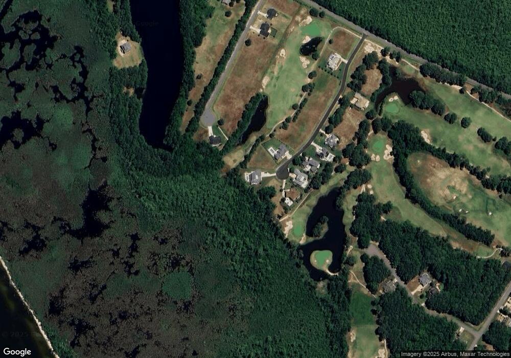
Map
Nearby Homes
- 101 Brae Burn Dr Unit Lot 144
- 169 Kilmarlic Club Dr Unit Lot 80
- 149 Kilmarlic Club Dr
- 149 Kilmarlic Club Dr Unit Lot74
- 0 West Unit Lane 22847679
- 167 W Side Ln Unit Lot 5
- 203 W Side Ln Unit Lot 13
- 101 Captain's Way Unit Lot 135
- 100 Sullivans Ct Unit Lot 49
- 149 Long Point Cir Unit Lot 43
- 269 Kilmarlic Club Dr Unit Lot 127
- 186 W Side Ln Unit 19
- 8533 Caratoke Hwy
- 8109 Caratoke Hwy
- 164 Foster Forbes Rd Unit Lot97M
- 315 Harbinger Ridge Rd Unit Lot 4
- 324 Harbinger Ridge Rd Unit Lot 3
- 123 Catherine Dr Unit Lot 9
- 114 Caco St
- 114 Caco St Unit Lot 3R
- 116 Brae Burn Dr
- 114 Brae Burn Dr
- 123 Brae Burn Dr
- 112 Brae Burn Dr
- 121 Brae Burn Dr
- 119 Brae Burn Dr
- 119 Hillock Dr
- 110 Brae Burn Dr
- 117 Brae Burn Dr
- 117 Hillock Dr
- 121 Hillock Dr
- 115 Brae Burn Dr
- 108 Brae Burn Dr
- 115 Hillock Dr
- 113 Brae Burn Dr
- 113 Hillock Dr
- 106 Brae Burn Dr
- 111 Brae Burn Dr
- 111 Hillock Dr
- 109 Brae Burn Dr