116 Brentwood Dr Wallingford, CT 06492
Estimated Value: $291,000 - $386,000
2
Beds
2
Baths
1,024
Sq Ft
$313/Sq Ft
Est. Value
About This Home
This home is located at 116 Brentwood Dr, Wallingford, CT 06492 and is currently estimated at $320,168, approximately $312 per square foot. 116 Brentwood Dr is a home located in New Haven County with nearby schools including Evarts C. Stevens School, Parker Farms School, and James H. Moran Middle School.
Ownership History
Date
Name
Owned For
Owner Type
Purchase Details
Closed on
Sep 7, 2018
Sold by
Stensland Melissa and Stensland Paul
Bought by
Oros Brett
Current Estimated Value
Home Financials for this Owner
Home Financials are based on the most recent Mortgage that was taken out on this home.
Original Mortgage
$152,714
Outstanding Balance
$132,901
Interest Rate
4.5%
Mortgage Type
Purchase Money Mortgage
Estimated Equity
$187,267
Purchase Details
Closed on
Nov 6, 2009
Sold by
Paul Ruth S
Bought by
Dugue Melissa A and Stenstand Paul W
Home Financials for this Owner
Home Financials are based on the most recent Mortgage that was taken out on this home.
Original Mortgage
$176,700
Interest Rate
5.06%
Purchase Details
Closed on
Jun 12, 1998
Sold by
Wood Charles J Est
Bought by
Signore Ruth and Ham Chester
Create a Home Valuation Report for This Property
The Home Valuation Report is an in-depth analysis detailing your home's value as well as a comparison with similar homes in the area
Home Values in the Area
Average Home Value in this Area
Purchase History
| Date | Buyer | Sale Price | Title Company |
|---|---|---|---|
| Oros Brett | $149,500 | -- | |
| Dugue Melissa A | $180,000 | -- | |
| Signore Ruth | $77,000 | -- |
Source: Public Records
Mortgage History
| Date | Status | Borrower | Loan Amount |
|---|---|---|---|
| Open | Signore Ruth | $152,714 | |
| Previous Owner | Signore Ruth | $176,700 | |
| Previous Owner | Signore Ruth | $155,951 | |
| Previous Owner | Signore Ruth | $140,200 |
Source: Public Records
Tax History Compared to Growth
Tax History
| Year | Tax Paid | Tax Assessment Tax Assessment Total Assessment is a certain percentage of the fair market value that is determined by local assessors to be the total taxable value of land and additions on the property. | Land | Improvement |
|---|---|---|---|---|
| 2025 | $4,117 | $170,700 | $0 | $170,700 |
| 2024 | $3,581 | $116,800 | $0 | $116,800 |
| 2023 | $3,427 | $116,800 | $0 | $116,800 |
| 2022 | $3,392 | $116,800 | $0 | $116,800 |
| 2021 | $3,331 | $116,800 | $0 | $116,800 |
| 2020 | $3,383 | $115,900 | $0 | $115,900 |
| 2019 | $3,383 | $115,900 | $0 | $115,900 |
| 2018 | $3,319 | $115,900 | $0 | $115,900 |
| 2017 | $3,309 | $115,900 | $0 | $115,900 |
| 2016 | $3,232 | $115,900 | $0 | $115,900 |
| 2015 | $3,382 | $123,100 | $0 | $123,100 |
| 2014 | $3,310 | $123,100 | $0 | $123,100 |
Source: Public Records
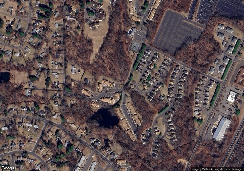
Map
Nearby Homes
- 120 Brentwood Dr
- 39 Robert Ln
- 3 Jones Rd
- 179 Cook Hill Rd
- 68 Colonial Hill Dr
- 350 S Cherry St
- 1450 Mount Carmel Ave
- 18 Oakdale Cir
- 30 Terrace Gardens
- 71 Terrace Gardens Unit 71
- 110 Blue Trail
- 109 Clifton St
- 94 East St
- 1350 Mount Carmel Ave
- 44 West St
- 26 West St
- 56 Summerhill Rd
- 57 Green St
- 00 Todd Dr S
- 15 Marshall St
- 116 Brentwood Dr Unit 116
- 118 Brentwood Dr
- 122 Brentwood Dr
- 124 Brentwood Dr
- 112 Brentwood Dr
- 126 Brentwood Dr
- 110 Brentwood Dr
- 108 Brentwood Dr
- 106 Brentwood Dr
- 106 Brentwood Dr Unit 106
- 104 Brentwood Dr
- 128 Brentwood Dr
- 128 Brentwood Dr Unit 128
- 130 Brentwood Dr
- 132 Brentwood Dr
- 149 Brentwood Dr
- 155 Brentwood Dr
- 151 Brentwood Dr
- 147 Brentwood Dr
- 157 Brentwood Dr