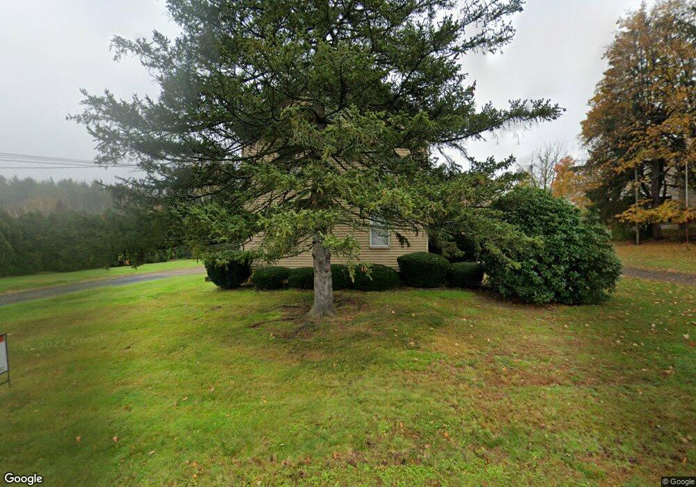
116 Buckland Rd South Windsor, CT 06074
Estimated Value: $975,574
--
Bed
--
Bath
--
Sq Ft
1.8
Acres
About This Home
This home is located at 116 Buckland Rd, South Windsor, CT 06074 and is currently estimated at $975,574. 116 Buckland Rd is a home located in Hartford County with nearby schools including Timothy Edwards School, South Windsor High School, and Odyssey Community School.
Ownership History
Date
Name
Owned For
Owner Type
Purchase Details
Closed on
Feb 8, 2023
Sold by
Buckland Road Assoc Llc
Bought by
Everreen View Llc
Current Estimated Value
Purchase Details
Closed on
Dec 15, 1997
Sold by
Williams Elctric Inc
Bought by
Buckland Road Assoc
Home Financials for this Owner
Home Financials are based on the most recent Mortgage that was taken out on this home.
Original Mortgage
$150,000
Interest Rate
7.14%
Mortgage Type
Commercial
Create a Home Valuation Report for This Property
The Home Valuation Report is an in-depth analysis detailing your home's value as well as a comparison with similar homes in the area
Home Values in the Area
Average Home Value in this Area
Purchase History
| Date | Buyer | Sale Price | Title Company |
|---|---|---|---|
| Everreen View Llc | $750,000 | None Available | |
| Buckland Road Assoc | $250,000 | -- |
Source: Public Records
Mortgage History
| Date | Status | Borrower | Loan Amount |
|---|---|---|---|
| Previous Owner | Buckland Road Assoc | $180,000 | |
| Previous Owner | Buckland Road Assoc | $150,000 |
Source: Public Records
Tax History Compared to Growth
Tax History
| Year | Tax Paid | Tax Assessment Tax Assessment Total Assessment is a certain percentage of the fair market value that is determined by local assessors to be the total taxable value of land and additions on the property. | Land | Improvement |
|---|---|---|---|---|
| 2024 | $12,933 | $375,300 | $119,100 | $256,200 |
| 2023 | $12,437 | $375,300 | $119,100 | $256,200 |
| 2022 | $11,166 | $288,000 | $91,900 | $196,100 |
| 2021 | $10,904 | $288,000 | $91,900 | $196,100 |
| 2020 | $10,909 | $288,000 | $91,900 | $196,100 |
| 2019 | $11,088 | $288,000 | $91,900 | $196,100 |
| 2018 | $10,849 | $288,000 | $91,900 | $196,100 |
| 2017 | $10,723 | $281,600 | $91,900 | $189,700 |
| 2016 | $10,515 | $281,600 | $91,900 | $189,700 |
| 2015 | $10,290 | $281,600 | $91,900 | $189,700 |
| 2014 | $10,000 | $281,600 | $91,900 | $189,700 |
Source: Public Records
Map
Nearby Homes
- 260 Smith St
- 203 Kebalo Ln
- 204 Kebalo Ln
- 25 Summit Dr
- 134 Croft Dr
- 901 Misty Meadow Ln
- 455 Oakland Rd
- 10 Mohegan Trail
- 7 Cinnamon Springs Unit 7
- 25 Amato Dr Unit H
- 1769 Tolland Turnpike
- 4 Alpine Dr
- 33 Imperial Dr
- 25 Stonehaven Cir
- 13 Oak Forest Dr Unit 6
- 23 Chatsworth Ct
- 21 Chatsworth Ct
- 25 Chatsworth Ct
- 96 Candlewood Dr Unit 96
- 634 N Main St
- 116 Buckland Rd Unit 116B
- 130 Buckland Rd
- 119 Buckland #14 Unit 14
- 119 Buckland Rd Unit 13
- 119 Buckland Rd Unit 3
- 119 Buckland Rd
- 210 Buckland Rd
- 190 Buckland Rd
- 206 Buckland Rd
- 36 Buckland Rd Unit 18
- 36 Buckland Rd Unit 11
- 36 Buckland Rd Unit 14
- 36 Buckland Rd
- 200 Hemlock Ave Unit 2nd Floor
- 218 Buckland Rd
- 218 Buckland Rd
- 31 Linda Ln
- 383 Smith St
- 377 Smith St
- 340 Smith St