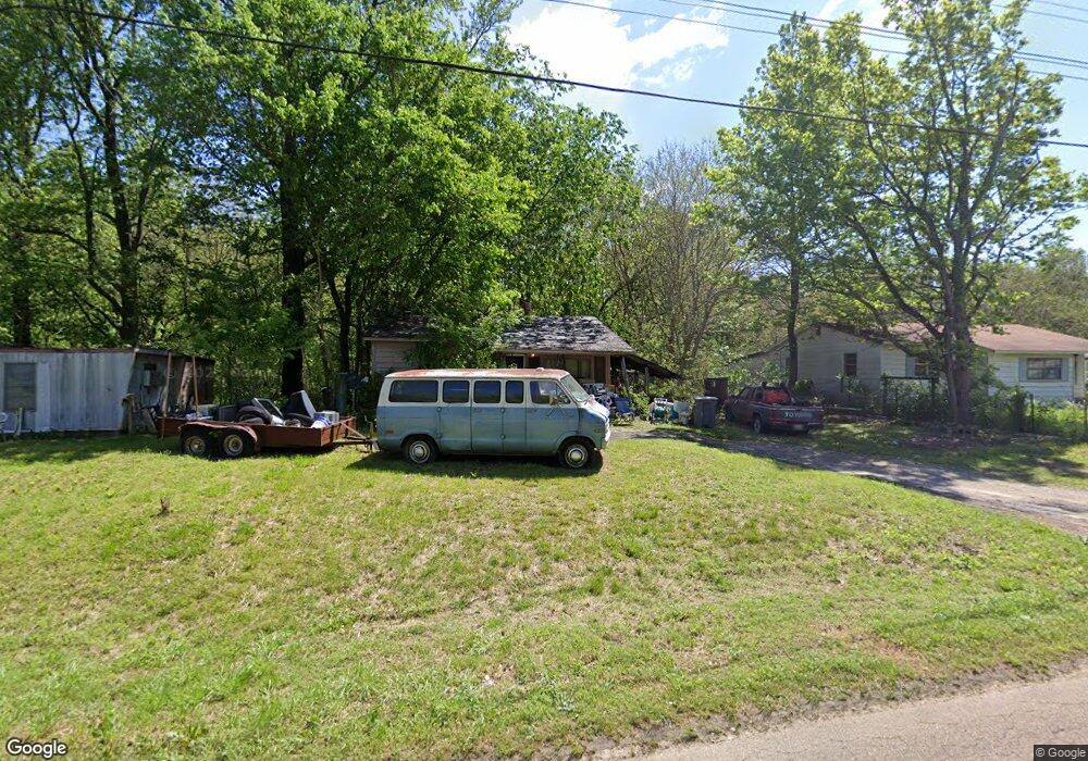
116 Bucksnort Rd Covington, TN 38019
Estimated Value: $46,075 - $208,000
About This Home
This home is located at 116 Bucksnort Rd, Covington, TN 38019 and is currently estimated at $130,019, approximately $201 per square foot. 116 Bucksnort Rd is a home located in Tipton County with nearby schools including Crestview Elementary School, Crestview Middle School, and Covington High School.
Ownership History
We collect this data history from publicly available records. To have your information removed, we recommend requesting removal directly through your county’s website.
Purchase Details
Purchase Details
Purchase Details
Purchase Details
Purchase Details
Purchase Details
Purchase Details
Purchase History
We collect this data history from publicly available records. To have your information removed, we recommend requesting removal directly through your county’s website.
| Date | Buyer | Sale Price | Title Company |
|---|---|---|---|
| $21,300 | -- | ||
| $21,348 | -- | ||
| $23,500 | -- | ||
| -- | -- | ||
| -- | -- | ||
| -- | -- | ||
| -- | -- |
Tax History
We collect this data history from publicly available records. To have your information removed, we recommend requesting removal directly through your county’s website.
| Year | Tax Paid | Tax Assessment Tax Assessment Total Assessment is a certain percentage of the fair market value that is determined by local assessors to be the total taxable value of land and additions on the property. | Land | Improvement |
|---|---|---|---|---|
| 2025 | $110 | $7,200 | $3,600 | $3,600 |
| 2024 | $110 | $7,200 | $3,600 | $3,600 |
| 2023 | $110 | $7,200 | $3,600 | $3,600 |
| 2022 | $106 | $5,200 | $2,650 | $2,550 |
| 2021 | $129 | $5,200 | $2,650 | $2,550 |
| 2020 | $128 | $6,300 | $2,650 | $3,650 |
| 2019 | $137 | $5,675 | $2,025 | $3,650 |
| 2018 | $137 | $5,675 | $2,025 | $3,650 |
| 2017 | $137 | $5,675 | $2,025 | $3,650 |
| 2016 | $137 | $5,675 | $2,025 | $3,650 |
| 2015 | $137 | $5,675 | $2,025 | $3,650 |
| 2014 | $138 | $5,691 | $0 | $0 |
Map
- 104 Miller Rd
- 2288 Highway 59 W
- 1860 Tennessee 59
- 439 McLillie Ln
- 1745 Dawson Rd
- 1766 Tennessee 59
- 129 Tatlock Cir
- 5176 Highway 59 W
- 2847 Holly Grove Rd
- 597 Walton Loop
- 378 Holly Grove Rd
- 127 Walton Loop
- 754 Mcwilliams Rd
- 000 Holly Grove Rd
- 0 Mcwilliams Rd
- 00 Mcwilliams Rd
- 1321 Tennessee 59
- 1535 Christine Cove
- 194 Holly Grove Rd
- 1140 Long Rd
- 90 Bucksnort Rd
- 76 Bucksnort Rd
- 102 Bucksnort Rd
- 97 Bucksnort Rd
- 69 Bucksnort Rd
- 50 Bucksnort Rd
- 127 Bucksnort Rd
- 113 Bucksnort Rd
- 32 Bucksnort Rd
- 141 Bucksnort Rd
- 111 Paulette Cir
- 3392 Highway 59 W
- 91 Paulette Cir
- 114 Paulette Cir
- 0 Bucksnort Rd
- 00 Bucksnort Rd
- 0 Bucksnort Rd Unit 242025
- 03 Bucksnort Rd
- 01 Bucksnort Rd
- 3480 Highway 59 W
Ask me questions while you tour the home.