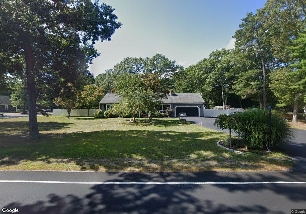
116 Bullock Rd East Freetown, MA 02717
Estimated Value: $517,589 - $617,000
3
Beds
2
Baths
1,312
Sq Ft
$432/Sq Ft
Est. Value
About This Home
This home is located at 116 Bullock Rd, East Freetown, MA 02717 and is currently estimated at $567,147, approximately $432 per square foot. 116 Bullock Rd is a home located in Bristol County with nearby schools including Freetown Elementary School, George R Austin Intermediate School, and Freetown-Lakeville Middle School.
Ownership History
Date
Name
Owned For
Owner Type
Purchase Details
Closed on
Jun 13, 1997
Sold by
Simone Genaro and Simone Marie A
Bought by
Almond James H and Almond Julie B
Current Estimated Value
Home Financials for this Owner
Home Financials are based on the most recent Mortgage that was taken out on this home.
Original Mortgage
$95,000
Interest Rate
7.97%
Mortgage Type
Purchase Money Mortgage
Create a Home Valuation Report for This Property
The Home Valuation Report is an in-depth analysis detailing your home's value as well as a comparison with similar homes in the area
Home Values in the Area
Average Home Value in this Area
Purchase History
| Date | Buyer | Sale Price | Title Company |
|---|---|---|---|
| Almond James H | $142,000 | -- |
Source: Public Records
Mortgage History
| Date | Status | Borrower | Loan Amount |
|---|---|---|---|
| Open | Almond James H | $92,000 | |
| Closed | Almond James H | $95,000 |
Source: Public Records
Tax History Compared to Growth
Tax History
| Year | Tax Paid | Tax Assessment Tax Assessment Total Assessment is a certain percentage of the fair market value that is determined by local assessors to be the total taxable value of land and additions on the property. | Land | Improvement |
|---|---|---|---|---|
| 2025 | $4,198 | $423,600 | $158,900 | $264,700 |
| 2024 | $4,207 | $403,400 | $149,900 | $253,500 |
| 2023 | $4,083 | $381,200 | $135,000 | $246,200 |
| 2022 | $3,927 | $325,600 | $114,400 | $211,200 |
| 2021 | $3,766 | $296,500 | $104,000 | $192,500 |
| 2020 | $3,730 | $286,500 | $100,000 | $186,500 |
| 2019 | $3,523 | $267,900 | $95,200 | $172,700 |
| 2018 | $3,354 | $252,000 | $95,200 | $156,800 |
| 2017 | $3,261 | $244,800 | $95,200 | $149,600 |
| 2016 | $3,113 | $237,800 | $92,500 | $145,300 |
| 2015 | $3,057 | $237,000 | $92,500 | $144,500 |
| 2014 | $2,861 | $226,900 | $90,600 | $136,300 |
Source: Public Records
Map
Nearby Homes
- 144 Chace Rd
- 150 Quanapoag Rd
- Lot 2/3 Quanapoag Rd
- 195 Slab Bridge Rd
- 0 Costa Dr
- 599 Quanapoag Rd
- 264 Collins Corner Rd
- 1475 Braley Rd Unit 17
- 13 Luscomb Ln
- 16 Swallow St
- 4597 Acushnet Ave
- 111 High St
- 1069 Cherokee St
- 24 Bells Brook Rd
- 353 Upland St
- 300 High Hill Rd
- 64 Blaze Rd
- 319 Northwest St
- 210 Heritage Dr
- 34 Poplar Rd