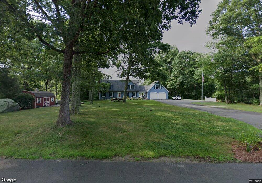
116 Burr Hill Rd Killingworth, CT 06419
Estimated Value: $476,857 - $500,000
3
Beds
2
Baths
1,578
Sq Ft
$308/Sq Ft
Est. Value
About This Home
This home is located at 116 Burr Hill Rd, Killingworth, CT 06419 and is currently estimated at $486,214, approximately $308 per square foot. 116 Burr Hill Rd is a home located in Middlesex County with nearby schools including Haddam-Killingworth High School.
Ownership History
Date
Name
Owned For
Owner Type
Purchase Details
Closed on
Aug 6, 2008
Sold by
Venuti Peter and Venuti Linda
Bought by
Rodnick Andrea
Current Estimated Value
Home Financials for this Owner
Home Financials are based on the most recent Mortgage that was taken out on this home.
Original Mortgage
$200,000
Interest Rate
2%
Create a Home Valuation Report for This Property
The Home Valuation Report is an in-depth analysis detailing your home's value as well as a comparison with similar homes in the area
Home Values in the Area
Average Home Value in this Area
Purchase History
| Date | Buyer | Sale Price | Title Company |
|---|---|---|---|
| Rodnick Andrea | $300,000 | -- |
Source: Public Records
Mortgage History
| Date | Status | Borrower | Loan Amount |
|---|---|---|---|
| Open | Rodnick Andrea | $192,636 | |
| Closed | Rodnick Andrea | $200,000 | |
| Previous Owner | Rodnick Andrea | $100,000 | |
| Previous Owner | Rodnick Andrea | $75,000 |
Source: Public Records
Tax History Compared to Growth
Tax History
| Year | Tax Paid | Tax Assessment Tax Assessment Total Assessment is a certain percentage of the fair market value that is determined by local assessors to be the total taxable value of land and additions on the property. | Land | Improvement |
|---|---|---|---|---|
| 2025 | $5,563 | $212,170 | $73,500 | $138,670 |
| 2024 | $5,139 | $212,170 | $73,500 | $138,670 |
| 2023 | $4,980 | $212,170 | $73,500 | $138,670 |
| 2022 | $4,927 | $212,170 | $73,500 | $138,670 |
| 2021 | $5,039 | $188,600 | $84,000 | $104,600 |
| 2020 | $5,039 | $188,600 | $84,000 | $104,600 |
| 2019 | $5,181 | $188,600 | $84,000 | $104,600 |
| 2018 | $5,181 | $188,600 | $84,000 | $104,600 |
| 2017 | $5,181 | $188,600 | $84,000 | $104,600 |
| 2016 | $5,203 | $200,950 | $122,500 | $78,450 |
| 2015 | $5,070 | $200,950 | $122,500 | $78,450 |
| 2014 | $4,929 | $200,950 | $122,500 | $78,450 |
Source: Public Records
Map
Nearby Homes
- 593 Route 148
- 590 Route 148
- 193 Emanuel Church Rd
- 0 Little City Rd
- 13 Cranberry Meadow Ln
- 36 Meadow Rd
- 640 Route 81
- 12 Jackson Rd
- 275 Route 148
- 12 Rachel Ct
- 511 Route 81
- Lots 1 & 2 Jackson Rd
- 206 Little City Rd
- 34 Skunk Misery Rd
- 24 Boulder Trail
- 464 Roast Meat Hill Rd
- 172 Parker Hill Rd
- 10 & 12 Firetower Rd
- 28 Fieldstone Ln
- 29 Bridlepath Trail
- 122 Burr Hill Rd
- 110 Burr Hill Rd
- 119 Burr Hill Rd
- 126 Burr Hill Rd
- 106 Burr Hill Rd
- 117 Burr Hill Rd
- 123 Burr Hill Rd
- 4 Fritz Rd
- 102 Burr Hill Rd
- 125 Burr Hill Rd
- 132 Burr Hill Rd
- 6 Fritz Rd
- 104 Burr Hill Rd
- 10 Fritz Rd
- 12 Fritz Rd
- 11 Hunters Ridge Rd
- 5 Hunters Ridge Rd
- 133 Burr Hill Rd
- 137 Burr Hill Rd
- 17 Hunters Ridge Rd