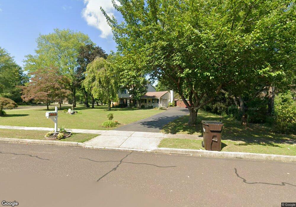
116 Buxmont Way Chalfont, PA 18914
Estimated Value: $517,503 - $584,000
--
Bed
3
Baths
1,790
Sq Ft
$312/Sq Ft
Est. Value
About This Home
This home is located at 116 Buxmont Way, Chalfont, PA 18914 and is currently estimated at $557,876, approximately $311 per square foot. 116 Buxmont Way is a home located in Bucks County with nearby schools including Pine Run Elementary School, Tohickon Middle School, and Central Bucks High School-West.
Ownership History
Date
Name
Owned For
Owner Type
Purchase Details
Closed on
May 31, 2005
Sold by
Schmidt Maureen C and Gorman Kathleen M
Bought by
Schmidt Maureen C
Current Estimated Value
Purchase Details
Closed on
Oct 19, 2001
Sold by
Derr Edward B and Derr Camille D
Bought by
Gorman Kathleen M and Schmidt Maureen C
Home Financials for this Owner
Home Financials are based on the most recent Mortgage that was taken out on this home.
Original Mortgage
$180,000
Interest Rate
6.86%
Purchase Details
Closed on
Sep 29, 1998
Sold by
Derr Camille D and Fryling Camille D
Bought by
Derr Edward B and Derr Camille D
Home Financials for this Owner
Home Financials are based on the most recent Mortgage that was taken out on this home.
Original Mortgage
$124,500
Interest Rate
6.8%
Create a Home Valuation Report for This Property
The Home Valuation Report is an in-depth analysis detailing your home's value as well as a comparison with similar homes in the area
Home Values in the Area
Average Home Value in this Area
Purchase History
| Date | Buyer | Sale Price | Title Company |
|---|---|---|---|
| Schmidt Maureen C | $119,436 | -- | |
| Gorman Kathleen M | $225,000 | -- | |
| Derr Edward B | -- | -- |
Source: Public Records
Mortgage History
| Date | Status | Borrower | Loan Amount |
|---|---|---|---|
| Previous Owner | Gorman Kathleen M | $180,000 | |
| Previous Owner | Derr Edward B | $124,500 |
Source: Public Records
Tax History Compared to Growth
Tax History
| Year | Tax Paid | Tax Assessment Tax Assessment Total Assessment is a certain percentage of the fair market value that is determined by local assessors to be the total taxable value of land and additions on the property. | Land | Improvement |
|---|---|---|---|---|
| 2025 | $5,130 | $29,600 | $6,600 | $23,000 |
| 2024 | $5,130 | $29,600 | $6,600 | $23,000 |
| 2023 | $4,967 | $29,600 | $6,600 | $23,000 |
| 2022 | $4,868 | $29,600 | $6,600 | $23,000 |
| 2021 | $4,813 | $29,600 | $6,600 | $23,000 |
| 2020 | $4,813 | $29,600 | $6,600 | $23,000 |
| 2019 | $4,754 | $29,600 | $6,600 | $23,000 |
| 2018 | $4,754 | $29,600 | $6,600 | $23,000 |
| 2017 | $4,717 | $29,600 | $6,600 | $23,000 |
| 2016 | $4,717 | $29,600 | $6,600 | $23,000 |
| 2015 | -- | $29,600 | $6,600 | $23,000 |
| 2014 | -- | $29,600 | $6,600 | $23,000 |
Source: Public Records
Map
Nearby Homes
- 115 Peggy Ln
- 193 Curley Mill Rd
- 109 Upper Stump Rd
- 43 Lynwood Dr
- 113 Hamilton St
- 241 Coventry Rd
- 201 Coventry Rd
- 105 Barry Rd
- 9 Patriot Dr
- 1400 N Limekiln Pike
- 9 Barry Rd
- 26 Park Ave Unit A16
- The Brentwood Plan at Barclay Hill
- The Banbury Plan at Barclay Hill
- The Brookhaven Plan at Barclay Hill
- 94 Railroad Ave
- 165 Township Line Rd
- 10 Kerns Ave
- 28 Brookdale Dr
- 99 Carousel Cir