Estimated Value: $157,000 - $165,000
2
Beds
2
Baths
1,086
Sq Ft
$149/Sq Ft
Est. Value
About This Home
This home is located at 116 Carom Cir Unit 96, Mason, MI 48854 and is currently estimated at $161,748, approximately $148 per square foot. 116 Carom Cir Unit 96 is a home located in Ingham County with nearby schools including Mason High School.
Ownership History
Date
Name
Owned For
Owner Type
Purchase Details
Closed on
Sep 15, 2017
Sold by
Dack Ann Marie and Morgan Ann M
Bought by
Weiss Ryan and Luichinger Sara
Current Estimated Value
Home Financials for this Owner
Home Financials are based on the most recent Mortgage that was taken out on this home.
Original Mortgage
$86,827
Outstanding Balance
$72,487
Interest Rate
3.89%
Estimated Equity
$89,261
Purchase Details
Closed on
Jul 5, 2005
Sold by
Forthoffer Rebecca M
Bought by
Dack Ann Marie
Home Financials for this Owner
Home Financials are based on the most recent Mortgage that was taken out on this home.
Original Mortgage
$92,700
Interest Rate
5.68%
Purchase Details
Closed on
Jul 6, 2004
Sold by
Esquire Development
Bought by
Forthoffer Rebecca M
Home Financials for this Owner
Home Financials are based on the most recent Mortgage that was taken out on this home.
Original Mortgage
$84,800
Interest Rate
5.87%
Mortgage Type
Purchase Money Mortgage
Create a Home Valuation Report for This Property
The Home Valuation Report is an in-depth analysis detailing your home's value as well as a comparison with similar homes in the area
Home Values in the Area
Average Home Value in this Area
Purchase History
| Date | Buyer | Sale Price | Title Company |
|---|---|---|---|
| Weiss Ryan | $85,000 | None Available | |
| Dack Ann Marie | $115,900 | Tri Title | |
| Forthoffer Rebecca M | $112,270 | Trans |
Source: Public Records
Mortgage History
| Date | Status | Borrower | Loan Amount |
|---|---|---|---|
| Open | Weiss Ryan | $86,827 | |
| Previous Owner | Dack Ann Marie | $92,700 | |
| Previous Owner | Forthoffer Rebecca M | $84,800 | |
| Closed | Forthoffer Rebecca M | $15,900 |
Source: Public Records
Tax History Compared to Growth
Tax History
| Year | Tax Paid | Tax Assessment Tax Assessment Total Assessment is a certain percentage of the fair market value that is determined by local assessors to be the total taxable value of land and additions on the property. | Land | Improvement |
|---|---|---|---|---|
| 2025 | $2,355 | $68,210 | $25,000 | $43,210 |
| 2024 | $2,202 | $81,150 | $25,000 | $56,150 |
| 2023 | $2,202 | $63,100 | $24,250 | $38,850 |
| 2022 | $2,105 | $52,710 | $15,000 | $37,710 |
| 2021 | $2,000 | $53,550 | $15,000 | $38,550 |
| 2020 | $1,971 | $46,420 | $15,000 | $31,420 |
| 2019 | $1,921 | $41,570 | $14,000 | $27,570 |
| 2018 | $1,889 | $33,330 | $6,750 | $26,580 |
| 2017 | $1,570 | $33,330 | $6,750 | $26,580 |
| 2016 | -- | $30,500 | $6,750 | $23,750 |
| 2015 | -- | $28,290 | $13,500 | $14,790 |
| 2014 | -- | $26,420 | $17,500 | $8,920 |
Source: Public Records
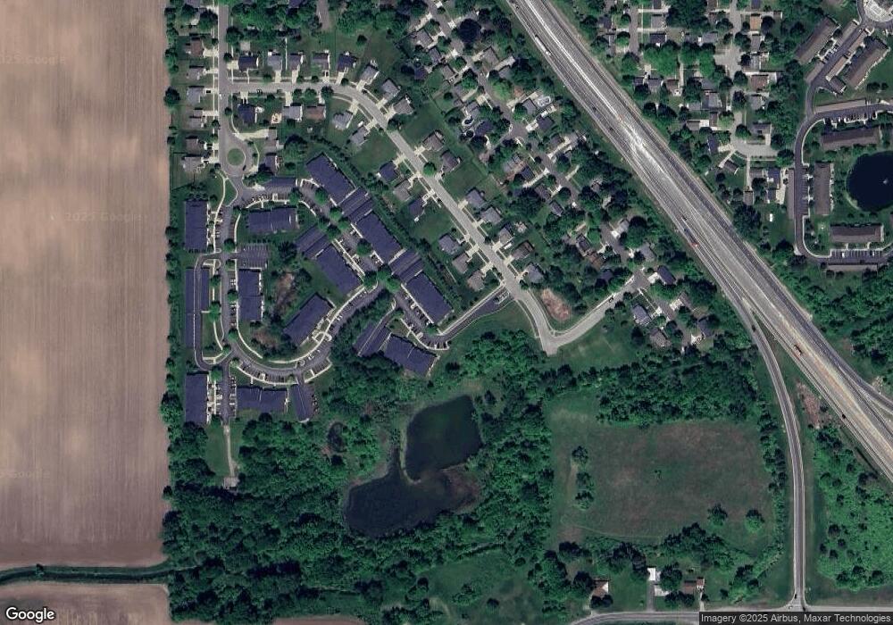
Map
Nearby Homes
- 311 Carom Cir
- 915 Carom Cir
- 901 Carom Cir Unit 145
- 814 Carom Cir Unit 142
- 709 Judy Ct
- 902 Eagles Nest Ct
- 110 Hartwell Terrace Unit 110
- 443 W Ash St
- 116 E Elm St
- 833 S Barnes St
- 515 North St
- 317 E Elm St
- 416 E Elm St
- 128 E Columbia St
- 133 E Columbia St
- 427 E Ash St
- 327 Steele St
- 1470 N Cedar St
- Lot 6 Sleeping Meadow Dr
- 305 Oak Ridge St
- 116 Carom Cir
- 108 Carom Cir Unit 88
- 108 Carom Cir Unit 88
- 108 Carom Cir
- 115 Carom Cir Unit 95
- 115 Carom Cir Unit 95
- 115 Carom Cir
- 107 Carom Cir Unit 87
- 106 Carom Cir
- 114 Carom Cir Unit 94
- 106 Carom Cir
- 105 Carom Cir
- 105 Carom Cir
- 113 Carom Cir Unit 93
- 112 Carom Cir Unit 92
- 112 Carom Cir
- 104 Carom Cir
- 112 Carom Cir
- 104 Carom Cir
- 112 Carom Cir Unit Building 100