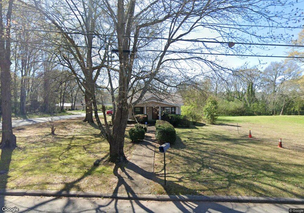
116 Cedar St Lagrange, GA 30241
Estimated Value: $109,000 - $159,000
2
Beds
1
Bath
1,296
Sq Ft
$98/Sq Ft
Est. Value
About This Home
This home is located at 116 Cedar St, Lagrange, GA 30241 and is currently estimated at $126,424, approximately $97 per square foot. 116 Cedar St is a home located in Troup County with nearby schools including Callaway Elementary School, Hogansville Elementary School, and Callaway Middle School.
Ownership History
Date
Name
Owned For
Owner Type
Purchase Details
Closed on
Jan 16, 2004
Sold by
Thurmond Brown
Bought by
Ward Lagail
Current Estimated Value
Purchase Details
Closed on
Jun 4, 1974
Sold by
Mapp Pearl Della
Bought by
Thurmond Brown
Purchase Details
Closed on
Jun 23, 1973
Sold by
Clifton Mildred Marie
Bought by
Mapp Pearl Della
Purchase Details
Closed on
Jan 15, 1973
Sold by
Norris Barbara Ann Etal
Bought by
Clifton Mildred Marie
Purchase Details
Closed on
Jan 1, 1972
Sold by
Mapp Della
Bought by
Norris Barbara Ann Etal
Purchase Details
Closed on
Jan 1, 1941
Bought by
Mapp Della
Create a Home Valuation Report for This Property
The Home Valuation Report is an in-depth analysis detailing your home's value as well as a comparison with similar homes in the area
Purchase History
| Date | Buyer | Sale Price | Title Company |
|---|---|---|---|
| Ward Lagail | $49,000 | -- | |
| Thurmond Brown | -- | -- | |
| Mapp Pearl Della | -- | -- | |
| Clifton Mildred Marie | -- | -- | |
| Norris Barbara Ann Etal | -- | -- | |
| Mapp Della | -- | -- |
Source: Public Records
Tax History
| Year | Tax Paid | Tax Assessment Tax Assessment Total Assessment is a certain percentage of the fair market value that is determined by local assessors to be the total taxable value of land and additions on the property. | Land | Improvement |
|---|---|---|---|---|
| 2025 | $985 | $36,132 | $3,320 | $32,812 |
| 2024 | $918 | $33,652 | $3,320 | $30,332 |
| 2023 | $560 | $20,532 | $3,320 | $17,212 |
| 2022 | $543 | $19,452 | $3,320 | $16,132 |
| 2021 | $257 | $15,520 | $1,640 | $13,880 |
| 2020 | $257 | $15,520 | $1,640 | $13,880 |
| 2019 | $202 | $13,700 | $1,500 | $12,200 |
| 2018 | $202 | $13,700 | $1,500 | $12,200 |
| 2017 | $202 | $13,700 | $1,500 | $12,200 |
| 2016 | $194 | $13,402 | $1,500 | $11,902 |
| 2015 | $200 | $13,577 | $1,675 | $11,902 |
| 2014 | $181 | $12,950 | $1,675 | $11,275 |
| 2013 | -- | $13,215 | $1,664 | $11,551 |
Source: Public Records
Map
Nearby Homes
- 0 Bagley St
- 112 Cedar St
- 0 Boggs St Unit 10550243
- 0 Boggs St Unit 10550231
- 0 Boggs St Unit 10550239
- 0 Boggs St Unit 10550250
- 304 Butler St
- 101 Cedar St
- 109 Bell St
- 1191 Whitesville St
- 1201 Whitesville St
- 901 Whiteline St
- 1404-1406 Hamilton
- 1404 Hamilton Rd
- 114 Brenda Blvd
- 0 E Fendig St
- 113 E Fendig St
- 1186 Lindsey St
- LOT 33 E Hillside Dr
- LOT 34 E Hillside Dr
Your Personal Tour Guide
Ask me questions while you tour the home.