116 Cherry Oak Rd Burnsville, NC 28714
Estimated Value: $328,752 - $440,000
4
Beds
1
Bath
1,400
Sq Ft
$264/Sq Ft
Est. Value
About This Home
This home is located at 116 Cherry Oak Rd, Burnsville, NC 28714 and is currently estimated at $369,688, approximately $264 per square foot. 116 Cherry Oak Rd is a home located in Yancey County with nearby schools including Mountain Heritage High School.
Ownership History
Date
Name
Owned For
Owner Type
Purchase Details
Closed on
Mar 24, 2025
Sold by
Terry Betty Marie
Bought by
Terry Betty Marie and Staab Doris
Current Estimated Value
Purchase Details
Closed on
Jul 20, 2007
Sold by
Mccurry Maxine
Bought by
Terry Betty Marie
Home Financials for this Owner
Home Financials are based on the most recent Mortgage that was taken out on this home.
Original Mortgage
$144,000
Interest Rate
6.63%
Mortgage Type
New Conventional
Create a Home Valuation Report for This Property
The Home Valuation Report is an in-depth analysis detailing your home's value as well as a comparison with similar homes in the area
Home Values in the Area
Average Home Value in this Area
Purchase History
| Date | Buyer | Sale Price | Title Company |
|---|---|---|---|
| Terry Betty Marie | -- | None Listed On Document | |
| Terry Betty Marie | -- | None Listed On Document | |
| Terry Betty Marie | $144,000 | None Available |
Source: Public Records
Mortgage History
| Date | Status | Borrower | Loan Amount |
|---|---|---|---|
| Previous Owner | Terry Betty Marie | $144,000 |
Source: Public Records
Tax History Compared to Growth
Tax History
| Year | Tax Paid | Tax Assessment Tax Assessment Total Assessment is a certain percentage of the fair market value that is determined by local assessors to be the total taxable value of land and additions on the property. | Land | Improvement |
|---|---|---|---|---|
| 2025 | $1,205 | $215,100 | $84,000 | $131,100 |
| 2024 | $1,205 | $215,100 | $84,000 | $131,100 |
| 2023 | $1,020 | $159,340 | $29,800 | $129,540 |
| 2022 | $999 | $159,340 | $29,800 | $129,540 |
| 2021 | $1,020 | $159,340 | $29,800 | $129,540 |
| 2020 | $1,020 | $159,340 | $29,800 | $129,540 |
| 2019 | $1,020 | $159,340 | $29,800 | $129,540 |
| 2018 | $1,020 | $159,340 | $29,800 | $129,540 |
| 2017 | $1,020 | $159,340 | $29,800 | $129,540 |
| 2016 | $1,020 | $159,340 | $29,800 | $129,540 |
| 2015 | $769 | $142,380 | $34,500 | $107,880 |
| 2014 | $769 | $142,380 | $34,500 | $107,880 |
Source: Public Records
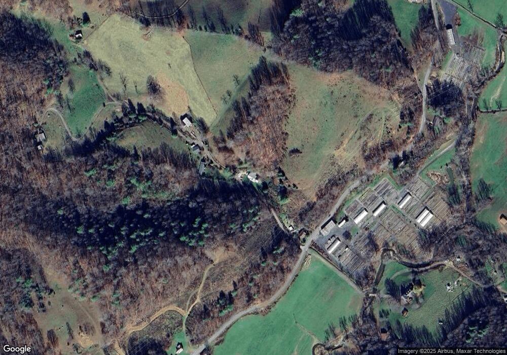
Map
Nearby Homes
- 000 Maney Branch Rd
- 456 & 000 Maney Branch Rd
- 456 Maney Branch Rd
- 00 Prices Creek Rd
- 124 Shootout Ln
- 71 Banks Creek Rd
- TBD Banks Creek Rd
- 0 McPeters Ln Unit CAR4243841
- 00 McPeters Ln
- 40 acres Charity Ln
- 239 Pleasant Valley Rd
- 423 Hardscrabble Rd
- 867 Indian Creek Rd
- 300 Dogwood Ln
- 124 W Dogwood Cir
- 2395 Hortons Creek Rd
- 18 Misty Meadows Rd
- 000 Mountain Air Dr
- 237 Hickory Nut Ridge Rd Unit 10
- 9999 River Edge Dr Unit 2
- 161 Cherry Oak Rd
- 24 Cherry Oak Rd
- 94 Circle East Ranch Rd
- 254 Circle East Ranch Rd
- 1445 Prices Creek Rd
- 1854 Prices Creek Rd
- 97 Circle e Ranch Rd
- 97 Circle e Ranch Rd
- 1414 Prices Creek Rd
- Tract 1 Circle e Ranch Rd
- 200 Cherry Oak Rd
- 179 Maney Branch Rd
- SR1121 Prices Creek
- SR1121 Prices Creek Rd
- 132 Penland Dr
- 93 Circle e Ranch Rd
- 40 Hortons Creek Rd
- 347 Maney Branch Rd
- 32 Hortons Creek Rd
- 293 Circle e Ranch Rd