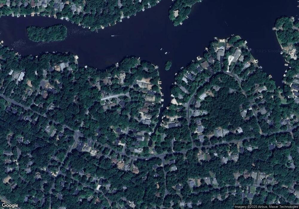
116 Confederate Cir Locust Grove, VA 22508
Estimated Value: $872,000 - $1,021,000
6
Beds
5
Baths
3,902
Sq Ft
$238/Sq Ft
Est. Value
About This Home
This home is located at 116 Confederate Cir, Locust Grove, VA 22508 and is currently estimated at $928,369, approximately $237 per square foot. 116 Confederate Cir is a home located in Orange County with nearby schools including Locust Grove Primary School, Locust Grove Elementary School, and Locust Grove Middle School.
Ownership History
Date
Name
Owned For
Owner Type
Purchase Details
Closed on
Mar 4, 2019
Sold by
Carpenter James N and Carpenter Bonnie
Bought by
Carpenter James N and Carpenter Miriam Bonnie
Current Estimated Value
Purchase Details
Closed on
Sep 30, 2005
Sold by
Alves Louie P and Alves Mary J
Bought by
Carpenter Jim and Carpenter Bonnie
Home Financials for this Owner
Home Financials are based on the most recent Mortgage that was taken out on this home.
Original Mortgage
$65,900
Interest Rate
5.78%
Mortgage Type
Credit Line Revolving
Create a Home Valuation Report for This Property
The Home Valuation Report is an in-depth analysis detailing your home's value as well as a comparison with similar homes in the area
Home Values in the Area
Average Home Value in this Area
Purchase History
| Date | Buyer | Sale Price | Title Company |
|---|---|---|---|
| Carpenter James N | -- | None Available | |
| Carpenter Jim | $659,900 | None Available |
Source: Public Records
Mortgage History
| Date | Status | Borrower | Loan Amount |
|---|---|---|---|
| Previous Owner | Carpenter Jim | $65,900 | |
| Previous Owner | Carpenter Jim | $527,900 |
Source: Public Records
Tax History Compared to Growth
Tax History
| Year | Tax Paid | Tax Assessment Tax Assessment Total Assessment is a certain percentage of the fair market value that is determined by local assessors to be the total taxable value of land and additions on the property. | Land | Improvement |
|---|---|---|---|---|
| 2025 | $5,162 | $657,800 | $185,000 | $472,800 |
| 2024 | $5,162 | $657,800 | $185,000 | $472,800 |
| 2023 | $5,162 | $657,800 | $185,000 | $472,800 |
| 2022 | $5,162 | $657,800 | $185,000 | $472,800 |
| 2021 | $4,956 | $688,300 | $185,000 | $503,300 |
| 2020 | $4,956 | $688,300 | $185,000 | $503,300 |
| 2019 | $4,517 | $561,800 | $160,000 | $401,800 |
| 2018 | $4,517 | $561,800 | $160,000 | $401,800 |
| 2017 | $4,517 | $561,800 | $160,000 | $401,800 |
| 2016 | $4,517 | $561,800 | $160,000 | $401,800 |
| 2015 | $4,481 | $622,300 | $235,000 | $387,300 |
| 2014 | $4,481 | $622,300 | $235,000 | $387,300 |
Source: Public Records
Map
Nearby Homes
- 118 Confederate Cir
- 108 Confederate Cir
- 2606 Lakeview Pkwy
- 203 Battlefield Rd
- 537 Monticello Cir
- 308 Harrison Cir
- 0 Gold Dale Rd Unit VAOR2012618
- 102 Monroe St
- 518 Monticello Cir
- 405 Harrison Cir
- 604 Stratford Cir
- 101 Monticello Cir
- 323 Stratford Cir
- 502 Monticello Cir
- 109 Aspen Ct
- 3114 Lakeview Pkwy
- 112 Butler Cir
- 111 Butler Cir
- 315 Stratford Cir
- 135 Monticello Cir
- 114 Confederate Cir
- 100 Harbourview Dr
- 112 Confederate Cir
- 102 Harbourview Dr
- 110 Confederate Cir
- 0 Tall Pines Pkwy
- 0 Patriot Unit 1004478801
- 0 Patriot Unit 1000141619
- 0 Patriot Unit VAOR2000072
- 0 Patriot Unit VAOR139490
- 104 Harbourview Dr
- 146 Edgemont Cir
- 106 Confederate Cir
- 144 Edgemont Cir
- 148 Edgemont Cir
- 106 Harbourview Dr
- 205 Confederate Cir
- 140 Edgemont Cir
- 104 Confederate Cir
- 105 Harbourview Dr
