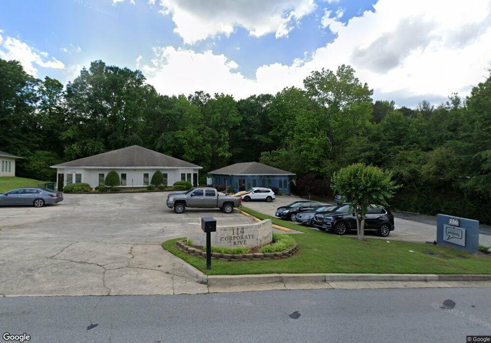
116 Corporate Dr Carrollton, GA 30117
Estimated Value: $248,532
--
Bed
--
Bath
1,272
Sq Ft
$195/Sq Ft
Est. Value
About This Home
This home is located at 116 Corporate Dr, Carrollton, GA 30117 and is currently estimated at $248,532, approximately $195 per square foot. 116 Corporate Dr is a home located in Carroll County with nearby schools including Carrollton Elementary School, Carrollton Upper Elementary School, and Carrollton Middle School.
Ownership History
Date
Name
Owned For
Owner Type
Purchase Details
Closed on
Oct 18, 2019
Sold by
Knight Ronald David
Bought by
Morin Property Brothers Llc
Current Estimated Value
Purchase Details
Closed on
Jun 23, 2017
Sold by
Maierhofer Richard A
Bought by
Knight Ronald David
Purchase Details
Closed on
Aug 9, 2013
Sold by
Maierhofer Margaret L
Bought by
Maierhofer Richard A and Maierhofer Margaret L
Purchase Details
Closed on
Dec 31, 2003
Sold by
Maierhofer Richard A
Bought by
Maierhofer Margaret L
Purchase Details
Closed on
Dec 19, 1996
Sold by
Mararet and Mararet
Bought by
Maierhofer Richard A
Create a Home Valuation Report for This Property
The Home Valuation Report is an in-depth analysis detailing your home's value as well as a comparison with similar homes in the area
Home Values in the Area
Average Home Value in this Area
Purchase History
| Date | Buyer | Sale Price | Title Company |
|---|---|---|---|
| Morin Property Brothers Llc | $139,000 | -- | |
| Knight Ronald David | $80,000 | -- | |
| Maierhofer Richard A | -- | -- | |
| Maierhofer Margaret L | -- | -- | |
| Maierhofer Richard A | $80,000 | -- |
Source: Public Records
Tax History Compared to Growth
Tax History
| Year | Tax Paid | Tax Assessment Tax Assessment Total Assessment is a certain percentage of the fair market value that is determined by local assessors to be the total taxable value of land and additions on the property. | Land | Improvement |
|---|---|---|---|---|
| 2024 | $2,188 | $80,065 | $4,710 | $75,355 |
| 2023 | $2,188 | $62,646 | $4,710 | $57,936 |
| 2022 | $1,452 | $49,740 | $4,710 | $45,030 |
| 2021 | $1,339 | $45,857 | $4,710 | $41,147 |
| 2020 | $1,328 | $45,437 | $4,710 | $40,727 |
| 2019 | $1,238 | $41,979 | $4,710 | $37,269 |
| 2018 | $958 | $43,124 | $4,710 | $38,414 |
| 2017 | $1,648 | $54,787 | $9,421 | $45,366 |
| 2016 | $1,440 | $47,615 | $10,000 | $37,615 |
| 2015 | $1,471 | $47,614 | $10,000 | $37,615 |
| 2014 | $1,477 | $47,615 | $10,000 | $37,615 |
Source: Public Records
Map
Nearby Homes
- 114 Green Point Way
- 325 Almon Rd
- 123 Autumn Glen Dr
- 119 Oxford Square
- 111 Lakeview Dr
- 123 Cedar Park Way
- 201 Stewart St
- 0 Carroll Cir Unit LOTS 4-8 10571562
- 541 N White St Unit 12
- 541 N White St
- 403 Burns Rd
- 816 Stewart St
- 120 Stewart St
- 777 College St
- 0 Burns Rd Unit LOT 2 10571612
- 0 Burns Rd Unit LOT 3 10571635
- 0 Burns Rd Unit LOT 1 10571595
- 0 Burns Rd Unit 148013
- 150 Cedar Park Way
- 0 Carroll Cir- Lots 4-8 Unit 148012
- 114 Corporate Dr
- 208 Corporate Dr Unit B
- 208 Corporate Dr Unit A
- 208 Corporate Dr
- 208 Corporate Dr Unit B
- 208 Corporate Dr Unit A
- 208 Corporate Dr
- 112 Corporate Dr
- 110 Corporate Dr
- 113 Corporate Dr
- 0 Corporate Dr Unit 8314798
- 0 Corporate Dr Unit 7372608
- 0 Corporate Dr Unit 8158835
- 0 Corporate Dr Unit 8158743
- 0 Corporate Dr
- 211 Corporate Dr
- 109 Corporate Dr
- 213 Corporate Dr
- 215 Corporate Dr
- 104 Greenpointe Way