116 Deer Path Trail Pearcy, AR 71964
Estimated Value: $280,000 - $408,000
3
Beds
2
Baths
1,848
Sq Ft
$182/Sq Ft
Est. Value
About This Home
This home is located at 116 Deer Path Trail, Pearcy, AR 71964 and is currently estimated at $336,581, approximately $182 per square foot. 116 Deer Path Trail is a home located in Garland County with nearby schools including Lake Hamilton Primary School, Lake Hamilton Elementary School, and Lake Hamilton Interm. School.
Ownership History
Date
Name
Owned For
Owner Type
Purchase Details
Closed on
Jun 13, 2016
Sold by
Siedschlag Dale
Bought by
Stanford Karen L
Current Estimated Value
Home Financials for this Owner
Home Financials are based on the most recent Mortgage that was taken out on this home.
Original Mortgage
$90,500
Outstanding Balance
$65,490
Interest Rate
3.61%
Mortgage Type
New Conventional
Estimated Equity
$271,091
Purchase Details
Closed on
May 13, 2011
Sold by
Labuy Kenneth R and Labuy Mary L
Bought by
Stanford Karen L
Home Financials for this Owner
Home Financials are based on the most recent Mortgage that was taken out on this home.
Original Mortgage
$75,000
Interest Rate
4.87%
Mortgage Type
Future Advance Clause Open End Mortgage
Create a Home Valuation Report for This Property
The Home Valuation Report is an in-depth analysis detailing your home's value as well as a comparison with similar homes in the area
Home Values in the Area
Average Home Value in this Area
Purchase History
| Date | Buyer | Sale Price | Title Company |
|---|---|---|---|
| Stanford Karen L | -- | Garland County Title Company | |
| Stanford Karen L | $30,000 | Garland County Title Co | |
| Stanford Karen L | $30,000 | Garland County Title Co |
Source: Public Records
Mortgage History
| Date | Status | Borrower | Loan Amount |
|---|---|---|---|
| Open | Stanford Karen L | $90,500 | |
| Previous Owner | Stanford Karen L | $75,000 |
Source: Public Records
Tax History
| Year | Tax Paid | Tax Assessment Tax Assessment Total Assessment is a certain percentage of the fair market value that is determined by local assessors to be the total taxable value of land and additions on the property. | Land | Improvement |
|---|---|---|---|---|
| 2025 | $1,708 | $58,740 | $8,980 | $49,760 |
| 2024 | $1,706 | $58,740 | $8,980 | $49,760 |
| 2023 | $1,710 | $58,740 | $8,980 | $49,760 |
| 2022 | $1,635 | $48,290 | $6,680 | $41,610 |
| 2021 | $1,485 | $32,230 | $4,060 | $28,170 |
| 2020 | $1,110 | $32,230 | $4,060 | $28,170 |
| 2019 | $1,050 | $32,230 | $4,060 | $28,170 |
| 2018 | $1,075 | $32,230 | $4,060 | $28,170 |
| 2017 | $1,075 | $32,230 | $4,060 | $28,170 |
| 2016 | $1,038 | $31,410 | $5,050 | $26,360 |
| 2015 | $1,038 | $31,410 | $5,050 | $26,360 |
| 2014 | $1,038 | $31,410 | $5,050 | $26,360 |
Source: Public Records
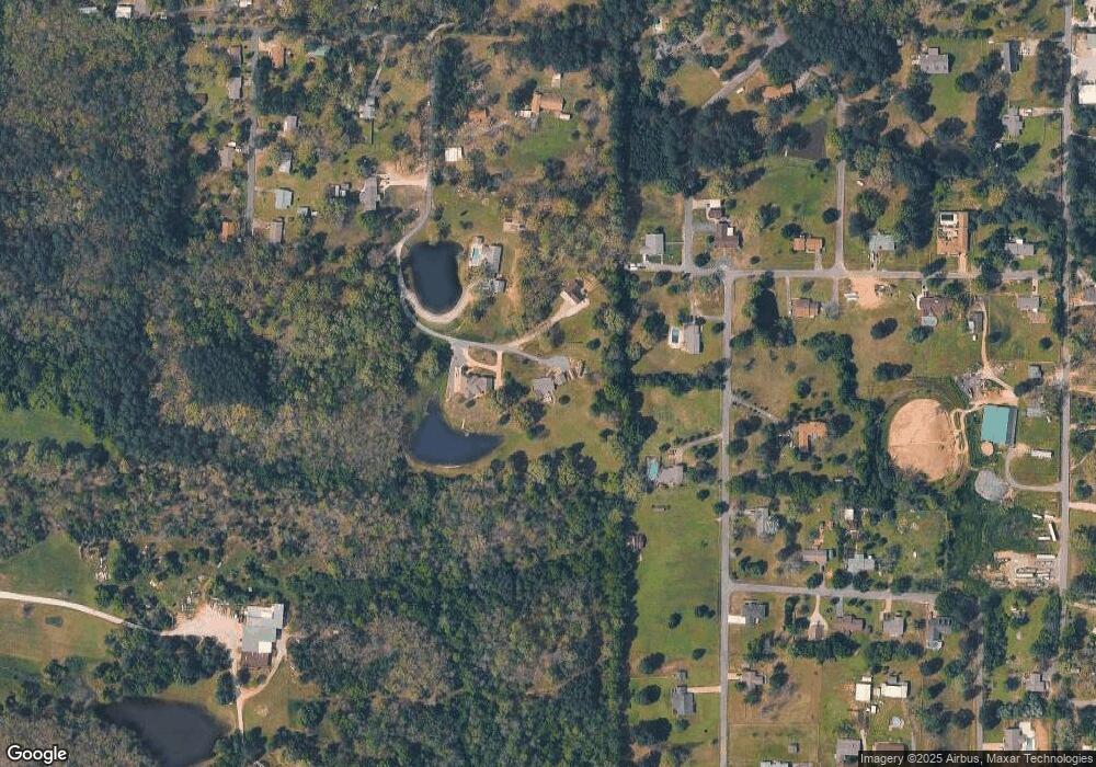
Map
Nearby Homes
- 230 S Ross Maddox Rd
- 214 S Ross Maddox Rd
- 3370 Airport Rd
- TBD Music Dr
- 209 Fortress Ln
- 209 Fox Chase Cir
- 3478 Airport Rd
- 124 Holly Farm Ln
- 218 Charming Heights Dr
- 101 Songer
- 104 Rainbow Ln
- 5701 Sunshine Rd Unit B
- 5701 B Sunshine Rd
- 109 Gabor Ln
- 130 Kidder Ln
- 101 Teresa Ln
- TBD Airport Hwy
- 129 Regency Terrace
- 196 Jackson Manor Ct
- 103 Deer View Ct
- 114 Deer Path Trail
- 120 Rhonda St
- 117 Deer Path Trail
- 110 Rhonda St
- 170 Dawber St
- 129 Rhonda St
- 169 Dawber St
- 119 Rhonda St
- 107 Celeste Dr
- 119 Maegan St
- 230 Martingale St
- 172 Rhonda St
- 216 Martingale St
- 108 Celeste Dr
- 205 Martingale St
- 169 Rhonda St
- 139 Maegan St
- 111 Pelham Place
- 130 Maegan St
- 109 Pelham Place
Your Personal Tour Guide
Ask me questions while you tour the home.