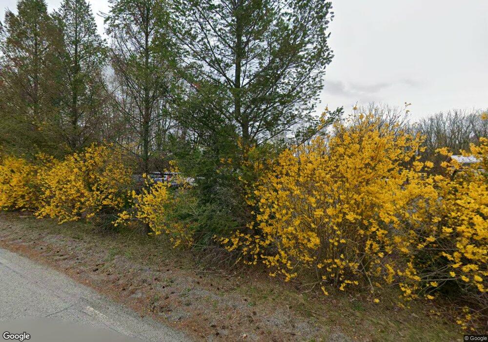
116 Drew Rd Sussex, NJ 07461
Estimated Value: $459,638
--
Bed
--
Bath
2,388
Sq Ft
$192/Sq Ft
Est. Value
About This Home
This home is located at 116 Drew Rd, Sussex, NJ 07461 and is currently estimated at $459,638, approximately $192 per square foot. 116 Drew Rd is a home located in Sussex County with nearby schools including Lounsberry Hollow, Rolling Hills Elementary School, and Glen Meadow School.
Ownership History
Date
Name
Owned For
Owner Type
Purchase Details
Closed on
May 24, 2012
Sold by
Wells Fargo Bank Na
Bought by
New Life Community Development Corp
Current Estimated Value
Purchase Details
Closed on
Aug 27, 2010
Sold by
New Horizon Development Llc
Bought by
Wells Fargo Bank Na
Purchase Details
Closed on
Sep 22, 2006
Sold by
Derosa Michael L and Derosa Elizabeth
Bought by
New Horizons Development Llc
Purchase Details
Closed on
Sep 6, 2001
Sold by
Eustice David and Eustice Glynis
Bought by
Derosa Michael L
Home Financials for this Owner
Home Financials are based on the most recent Mortgage that was taken out on this home.
Original Mortgage
$161,405
Interest Rate
6.98%
Purchase Details
Closed on
Jun 28, 2000
Sold by
Nagle Edward E and Nagle Jacqueline J
Bought by
Eustice David J
Create a Home Valuation Report for This Property
The Home Valuation Report is an in-depth analysis detailing your home's value as well as a comparison with similar homes in the area
Home Values in the Area
Average Home Value in this Area
Purchase History
| Date | Buyer | Sale Price | Title Company |
|---|---|---|---|
| New Life Community Development Corp | -- | -- | |
| Wells Fargo Bank Na | -- | None Available | |
| New Horizons Development Llc | $205,500 | None Available | |
| Derosa Michael L | $169,900 | -- | |
| Eustice David J | -- | -- |
Source: Public Records
Mortgage History
| Date | Status | Borrower | Loan Amount |
|---|---|---|---|
| Previous Owner | Derosa Michael L | $161,405 |
Source: Public Records
Tax History Compared to Growth
Tax History
| Year | Tax Paid | Tax Assessment Tax Assessment Total Assessment is a certain percentage of the fair market value that is determined by local assessors to be the total taxable value of land and additions on the property. | Land | Improvement |
|---|---|---|---|---|
| 2025 | -- | $81,700 | $81,700 | -- |
| 2024 | -- | $77,300 | $77,300 | $0 |
| 2023 | -- | $153,800 | $153,800 | $0 |
| 2022 | $0 | $149,300 | $149,300 | $0 |
| 2021 | $0 | $104,300 | $104,300 | $0 |
| 2020 | $3,669 | $108,800 | $108,800 | $0 |
| 2019 | $3,669 | $140,000 | $140,000 | $0 |
| 2018 | $0 | $140,000 | $140,000 | $0 |
| 2017 | $3,669 | $140,000 | $140,000 | $0 |
| 2016 | $3,664 | $140,000 | $140,000 | $0 |
| 2015 | $3,651 | $140,000 | $140,000 | $0 |
| 2014 | $3,685 | $140,000 | $140,000 | $0 |
Source: Public Records
Map
Nearby Homes
- 3 Travel Rd
- 9 Basswood Dr
- 7 Palomino Trail
- 28 Edsall Dr
- 39 Edsall Dr
- 601 Route 517
- 3-11 Maple Crescent Unit 11
- 3-13 Maple Crescent Unit 13
- 3-13 Maple Crescent Unit 1
- 4 Maple Crescent Unit 11
- 4 Maple Crescent
- 7-11 Maple Crescent Unit 11
- 5 Maple Crescent Unit 22
- 1-23 Pine Crescent Unit 23
- 6 Maple Crescent Unit 21
- 3-11 Pine Crescent Unit 11
- 8 Maple Crescent Unit 12
- 5 Pine Crescent
- 12 Pine Crescent Unit 21
- 10 Pine Crescent
