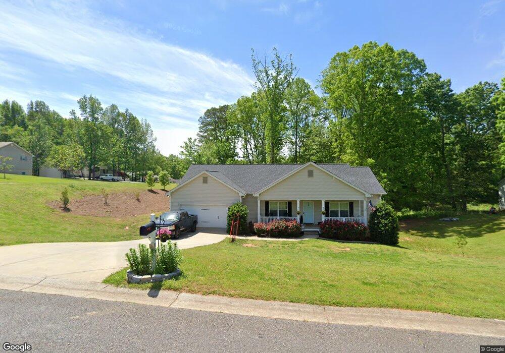
116 Eastgate Dr Dawsonville, GA 30534
Dawson County NeighborhoodEstimated Value: $394,816 - $441,000
3
Beds
2
Baths
1,714
Sq Ft
$239/Sq Ft
Est. Value
About This Home
This home is located at 116 Eastgate Dr, Dawsonville, GA 30534 and is currently estimated at $410,454, approximately $239 per square foot. 116 Eastgate Dr is a home located in Dawson County with nearby schools including Riverview Elementary School, Dawson County Junior High School, and Dawson County Middle School.
Ownership History
Date
Name
Owned For
Owner Type
Purchase Details
Closed on
Mar 16, 2018
Sold by
Fowler Stacey
Bought by
Carroll Michael P
Current Estimated Value
Home Financials for this Owner
Home Financials are based on the most recent Mortgage that was taken out on this home.
Original Mortgage
$171,920
Outstanding Balance
$147,322
Interest Rate
4.38%
Mortgage Type
New Conventional
Estimated Equity
$263,132
Purchase Details
Closed on
Jun 6, 2016
Sold by
Real Estate Associates Ii
Bought by
Fowler Stacey and Gravitt Jeremy
Purchase Details
Closed on
Feb 13, 2012
Purchase Details
Closed on
Oct 6, 2009
Sold by
Conner Dell
Bought by
Appalachian Comm Bank
Create a Home Valuation Report for This Property
The Home Valuation Report is an in-depth analysis detailing your home's value as well as a comparison with similar homes in the area
Home Values in the Area
Average Home Value in this Area
Purchase History
| Date | Buyer | Sale Price | Title Company |
|---|---|---|---|
| Carroll Michael P | $214,900 | -- | |
| Fowler Stacey | $115,000 | -- | |
| -- | $47,300 | -- | |
| Appalachian Comm Bank | -- | -- |
Source: Public Records
Mortgage History
| Date | Status | Borrower | Loan Amount |
|---|---|---|---|
| Open | Carroll Michael P | $171,920 |
Source: Public Records
Tax History Compared to Growth
Tax History
| Year | Tax Paid | Tax Assessment Tax Assessment Total Assessment is a certain percentage of the fair market value that is determined by local assessors to be the total taxable value of land and additions on the property. | Land | Improvement |
|---|---|---|---|---|
| 2024 | $2,341 | $140,800 | $10,000 | $130,800 |
| 2023 | $2,290 | $142,200 | $10,000 | $132,200 |
| 2022 | $2,427 | $113,280 | $10,000 | $103,280 |
| 2021 | $1,882 | $97,880 | $10,000 | $87,880 |
| 2020 | $1,751 | $74,000 | $11,746 | $62,254 |
| 2019 | $1,766 | $74,000 | $11,746 | $62,254 |
| 2018 | $1,793 | $88,200 | $14,000 | $74,200 |
| 2017 | $618 | $37,452 | $12,000 | $25,452 |
| 2016 | $144 | $6,000 | $6,000 | $0 |
| 2015 | $148 | $6,000 | $6,000 | $0 |
| 2014 | $153 | $6,000 | $6,000 | $0 |
| 2013 | -- | $1,760 | $1,760 | $0 |
Source: Public Records
Map
Nearby Homes
- 74 E Gate Dr
- 0 Mountain Brook Rd Unit 7614426
- 0 Mountain Brook Rd Unit 10571981
- 0 Mountain Brook Rd Unit 7614434
- 0 Mountain Brook Rd Unit 10570759
- 305 Mountain Brook Rd
- 270 Clifton Dr
- 0 Afton #4 Rd
- 0 Rd
- 0 Rd
- 204 Hugh Stowers Rd
- 301 Collins Rd
- 262 Magnolia Dr
- 46 Fernbrook Trail
- 181 Longleaf St
- 0 Mill Creek Dr Unit 7479868
- 0 Mill Creek Dr Unit 10405516
- 554 Vandiviere Rd
- 1190 Mill Creek Dr
- 115 Rabbit Run
- 116 Eastgate Dr
- 25 Timber Walk
- 27 Timber Walk
- 29 Timber Walk
- 33 Timber Walk
- 0 Timber Walk Unit 8710953
- 0 Timber Walk Unit 9005479
- 0 Timber Walk
- 0 Kinsington Ct Unit 13 7118165
- 0 Kinsington Ct Unit 17 7118175
- 0 Kinsington Ct Unit 12 7118158
- 0 Kinsington Ct Unit 11 7118151
- 0 Kinsington Ct Unit 16 7118172
- 0 Kinsington Ct Unit 18 7118178
- 0 Kinsington Ct Unit 14 7118166
- 0 Kinsington Ct Unit 11 7298519
- 0 Kinsington Ct Unit 12 7298518
- 0 Kinsington Ct Unit 13 7298517
- 0 Kinsington Ct Unit 14 7298516
- 0 Kinsington Ct Unit 16 7298515