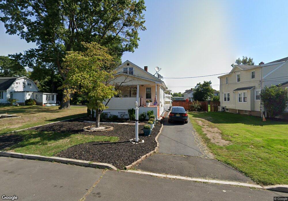
116 Florence Ave Ewing, NJ 08618
Parkway Village NeighborhoodEstimated Value: $314,523 - $375,000
Studio
--
Bath
1,219
Sq Ft
$288/Sq Ft
Est. Value
About This Home
This home is located at 116 Florence Ave, Ewing, NJ 08618 and is currently estimated at $351,631, approximately $288 per square foot. 116 Florence Ave is a home located in Mercer County with nearby schools including Ewing High School, Paul Robeson Charter School For The Humanities, and Trenton Stem-To-Civics Charter School.
Ownership History
Date
Name
Owned For
Owner Type
Purchase Details
Closed on
May 31, 2007
Current Estimated Value
Purchase Details
Closed on
Nov 16, 2000
Sold by
Solinsky Bernard
Bought by
Allison Kelly Baker
Home Financials for this Owner
Home Financials are based on the most recent Mortgage that was taken out on this home.
Original Mortgage
$93,000
Interest Rate
7.76%
Create a Home Valuation Report for This Property
The Home Valuation Report is an in-depth analysis detailing your home's value as well as a comparison with similar homes in the area
Home Values in the Area
Average Home Value in this Area
Purchase History
| Date | Buyer | Sale Price | Title Company |
|---|---|---|---|
| -- | $214,000 | -- | |
| Allison Kelly Baker | $99,000 | -- |
Source: Public Records
Mortgage History
| Date | Status | Borrower | Loan Amount |
|---|---|---|---|
| Previous Owner | Allison Kelly Baker | $93,000 |
Source: Public Records
Tax History
| Year | Tax Paid | Tax Assessment Tax Assessment Total Assessment is a certain percentage of the fair market value that is determined by local assessors to be the total taxable value of land and additions on the property. | Land | Improvement |
|---|---|---|---|---|
| 2025 | $6,663 | $169,400 | $49,400 | $120,000 |
| 2024 | $6,263 | $169,400 | $49,400 | $120,000 |
| 2023 | $6,263 | $169,400 | $49,400 | $120,000 |
| 2022 | $6,093 | $169,400 | $49,400 | $120,000 |
| 2021 | $5,944 | $169,400 | $49,400 | $120,000 |
| 2020 | $5,296 | $153,100 | $49,400 | $103,700 |
| 2019 | $5,158 | $153,100 | $49,400 | $103,700 |
| 2018 | $5,002 | $94,700 | $31,400 | $63,300 |
| 2017 | $5,119 | $94,700 | $31,400 | $63,300 |
| 2016 | $5,049 | $94,700 | $31,400 | $63,300 |
| 2015 | $4,982 | $94,700 | $31,400 | $63,300 |
| 2014 | $4,969 | $94,700 | $31,400 | $63,300 |
Source: Public Records
Map
Nearby Homes
- 56 Ridgewood Ave
- 161 Louisiana Ave
- 955 Terrace Blvd
- 24 Glen Stewart Dr
- 27 Walton Ave
- 20 Steinway Ave
- 104 King Ave
- 126 Rutledge Ave
- 50 Groveland Ave
- 1005 Terrace Blvd
- 140 Crescent Ave
- 124 Hawthorne Ave
- 24 Keswick Ave
- 9 Weston Rd
- 40 Arden Ave
- 100 Carnine Ave
- 768 Parkway Ave
- 643 Concord Cir
- 33 Stratford Ave
- 41 Harding St
- 114 Florence Ave
- 13 Brenwal Ave
- 112 Florence Ave
- 110 Florence Ave
- 9 Brenwal Ave
- 119 Florence Ave
- 108 Florence Ave
- 121 Florence Ave
- 111 Florence Ave
- 1669 Pennington Rd
- 123 Bromley Ave
- 109 Florence Ave
- 10 Brenwal Ave
- 1667 Pennington Rd
- 12 Brenwal Ave
- 1665 Pennington Rd
- 14 Brenwal Ave
- 117 Florence Ave
- 1685 Pennington Rd Unit 87
- 1685 Pennington Rd
Your Personal Tour Guide
Ask me questions while you tour the home.