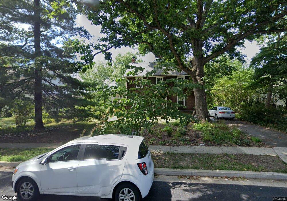
116 Forest Dr Catonsville, MD 21228
Estimated Value: $555,000 - $731,000
Studio
2
Baths
2,357
Sq Ft
$278/Sq Ft
Est. Value
About This Home
This home is located at 116 Forest Dr, Catonsville, MD 21228 and is currently estimated at $655,186, approximately $277 per square foot. 116 Forest Dr is a home located in Baltimore County with nearby schools including Hillcrest Elementary School, Catonsville Middle School, and Catonsville High School.
Ownership History
Date
Name
Owned For
Owner Type
Purchase Details
Closed on
May 17, 2018
Sold by
Himes Christopher L and Trump Cynthia
Bought by
Trump Cynthia
Current Estimated Value
Purchase Details
Closed on
Aug 29, 2011
Sold by
Himes Paul Edmund and Estate Of Roberta L Himes
Bought by
Trump Cynthia and Himes Christopher L
Home Financials for this Owner
Home Financials are based on the most recent Mortgage that was taken out on this home.
Original Mortgage
$258,400
Interest Rate
4.58%
Mortgage Type
New Conventional
Purchase Details
Closed on
Jul 31, 1968
Sold by
Rogers Gilbert L and Rogers Elizab
Bought by
Himes Thomas E
Create a Home Valuation Report for This Property
The Home Valuation Report is an in-depth analysis detailing your home's value as well as a comparison with similar homes in the area
Home Values in the Area
Average Home Value in this Area
Purchase History
| Date | Buyer | Sale Price | Title Company |
|---|---|---|---|
| Trump Cynthia | $60,000 | Crown Title Corp | |
| Trump Cynthia | $323,000 | Crown Title Corporation | |
| Himes Thomas E | $28,500 | -- |
Source: Public Records
Mortgage History
| Date | Status | Borrower | Loan Amount |
|---|---|---|---|
| Previous Owner | Trump Cynthia | $258,400 |
Source: Public Records
Tax History
| Year | Tax Paid | Tax Assessment Tax Assessment Total Assessment is a certain percentage of the fair market value that is determined by local assessors to be the total taxable value of land and additions on the property. | Land | Improvement |
|---|---|---|---|---|
| 2025 | $6,420 | $469,367 | -- | -- |
| 2024 | $6,420 | $450,300 | $150,700 | $299,600 |
| 2023 | $3,122 | $436,100 | $0 | $0 |
| 2022 | $5,899 | $421,900 | $0 | $0 |
| 2021 | $5,030 | $407,700 | $150,700 | $257,000 |
| 2020 | $3,958 | $378,533 | $0 | $0 |
| 2019 | $4,234 | $349,367 | $0 | $0 |
| 2018 | $3,410 | $320,200 | $120,700 | $199,500 |
| 2017 | $4,422 | $316,033 | $0 | $0 |
| 2016 | $3,785 | $311,867 | $0 | $0 |
| 2015 | $3,785 | $307,700 | $0 | $0 |
| 2014 | $3,785 | $307,700 | $0 | $0 |
Source: Public Records
Map
Nearby Homes
- 2 Park Dr
- 104 Glenrae Dr
- 38 Mellor Ave
- 7 Montrose Ave
- 2 Fusting Ave
- 7 Overhill Rd
- 122 Wyndcrest Ave
- 0 Melvin Ave
- 14 Glenwood Ave
- 5 Wade Ave
- 732 White Oaks Ave
- 719 Linda Dr
- 27 Eden Terrace Ln
- 15 Shipley Ave
- 124 Oakdale Ave
- 1900 Lismore Ln
- 111 Delrey Ave
- 518 Ingleside Ave
- 206 Winters Ln
- 343 N Beaumont Ave
Your Personal Tour Guide
Ask me questions while you tour the home.