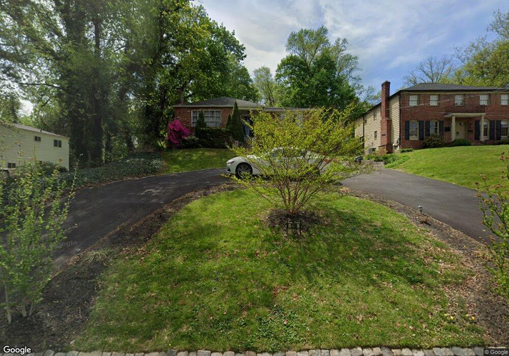
116 Glenside Ave Wyncote, PA 19095
Estimated Value: $429,000 - $548,000
3
Beds
3
Baths
2,383
Sq Ft
$209/Sq Ft
Est. Value
About This Home
This home is located at 116 Glenside Ave, Wyncote, PA 19095 and is currently estimated at $497,940, approximately $208 per square foot. 116 Glenside Ave is a home located in Montgomery County with nearby schools including Elkins Park School, Cedarbrook Middle School, and Cheltenham High School.
Ownership History
Date
Name
Owned For
Owner Type
Purchase Details
Closed on
Apr 23, 2015
Sold by
Hall James S
Bought by
Favors Michael
Current Estimated Value
Home Financials for this Owner
Home Financials are based on the most recent Mortgage that was taken out on this home.
Original Mortgage
$211,029
Outstanding Balance
$166,259
Interest Rate
4.4%
Mortgage Type
FHA
Estimated Equity
$331,682
Purchase Details
Closed on
Jan 7, 2010
Sold by
Metzendorf David and Metzendorf Rita H
Bought by
Hall James S
Create a Home Valuation Report for This Property
The Home Valuation Report is an in-depth analysis detailing your home's value as well as a comparison with similar homes in the area
Home Values in the Area
Average Home Value in this Area
Purchase History
| Date | Buyer | Sale Price | Title Company |
|---|---|---|---|
| Favors Michael | $215,000 | Title Services | |
| Hall James S | $255,000 | None Available |
Source: Public Records
Mortgage History
| Date | Status | Borrower | Loan Amount |
|---|---|---|---|
| Open | Favors Michael | $211,029 |
Source: Public Records
Tax History
| Year | Tax Paid | Tax Assessment Tax Assessment Total Assessment is a certain percentage of the fair market value that is determined by local assessors to be the total taxable value of land and additions on the property. | Land | Improvement |
|---|---|---|---|---|
| 2025 | $11,938 | $178,740 | $76,910 | $101,830 |
| 2024 | $11,938 | $178,740 | $76,910 | $101,830 |
| 2023 | $11,803 | $178,740 | $76,910 | $101,830 |
| 2022 | $11,600 | $178,740 | $76,910 | $101,830 |
| 2021 | $11,283 | $178,740 | $76,910 | $101,830 |
| 2020 | $10,958 | $178,740 | $76,910 | $101,830 |
| 2019 | $10,739 | $178,740 | $76,910 | $101,830 |
Source: Public Records
Map
Nearby Homes
- 216 Linden Dr
- 191 Linden Dr
- 919 Laburnum Ln
- 826 Pardee Ln
- 100 West Ave Unit 218S
- 100 West Ave Unit 808W
- 100 West Ave Unit 604-W
- 100 West Ave Unit 301S
- 100 West Ave Unit 211-S
- 100 West Ave Unit 118-S
- 100 West Ave Unit 418S
- 100 West Ave Unit 202-S (2B)
- 100 West Ave Unit 407S
- 100 West Ave Unit 119S
- 100 West Ave Unit 609 SOUTH/F9
- 100 West Ave Unit 525S
- 100 Breyer Dr Unit 3C
- 221 Summit Ave
- 309 Florence Ave Unit 401-N
- 309 Florence Ave Unit 420N
- 114 Glenside Ave
- 107 Heacock Ln
- 103 Heacock Ln
- 112 Glenside Ave
- 119 Heacock Ln
- 110 Glenside Ave
- 108 Glenside Ave
- 217 Stonehouse Ln
- 116 Heacock Ln
- 100 Heacock Ln
- 125 Heacock Ln
- 110 Webster Ave
- 213 Stonehouse Ln
- 108 Webster Ave Unit 3
- 118 Heacock Ln
- 112 Webster Ave
- 104 Webster Ave
- 100 Webster Ave
- 114 Webster Ave
- 120 Heacock Ln
Your Personal Tour Guide
Ask me questions while you tour the home.