116 Grub Stake Dr Dahlonega, GA 30533
Estimated Value: $442,000 - $845,000
--
Bed
--
Bath
4,256
Sq Ft
$153/Sq Ft
Est. Value
About This Home
This home is located at 116 Grub Stake Dr, Dahlonega, GA 30533 and is currently estimated at $651,576, approximately $153 per square foot. 116 Grub Stake Dr is a home with nearby schools including Clay County Middle School and Lumpkin County High School.
Ownership History
Date
Name
Owned For
Owner Type
Purchase Details
Closed on
Jan 16, 2017
Sold by
Tapley Theresa
Bought by
Tapley Kevin Lee
Current Estimated Value
Purchase Details
Closed on
Sep 27, 2013
Sold by
Powell C Richard
Bought by
Tapley Theresa
Purchase Details
Closed on
Mar 21, 2012
Sold by
Powell C R
Bought by
Tapley Theresa
Home Financials for this Owner
Home Financials are based on the most recent Mortgage that was taken out on this home.
Original Mortgage
$44,800
Interest Rate
3.97%
Mortgage Type
New Conventional
Purchase Details
Closed on
Mar 31, 1989
Sold by
Perry W L
Bought by
Powell C Richard
Purchase Details
Closed on
Nov 1, 1985
Bought by
Perry W L
Create a Home Valuation Report for This Property
The Home Valuation Report is an in-depth analysis detailing your home's value as well as a comparison with similar homes in the area
Home Values in the Area
Average Home Value in this Area
Purchase History
| Date | Buyer | Sale Price | Title Company |
|---|---|---|---|
| Tapley Kevin Lee | -- | -- | |
| Tapley Theresa | -- | -- | |
| Tapley Theresa | $56,000 | -- | |
| Powell C Richard | $10,000 | -- | |
| Perry W L | -- | -- |
Source: Public Records
Mortgage History
| Date | Status | Borrower | Loan Amount |
|---|---|---|---|
| Previous Owner | Tapley Theresa | $44,800 |
Source: Public Records
Tax History Compared to Growth
Tax History
| Year | Tax Paid | Tax Assessment Tax Assessment Total Assessment is a certain percentage of the fair market value that is determined by local assessors to be the total taxable value of land and additions on the property. | Land | Improvement |
|---|---|---|---|---|
| 2024 | $5,350 | $233,081 | $37,952 | $195,129 |
| 2023 | $4,777 | $222,672 | $37,952 | $184,720 |
| 2022 | $5,184 | $211,408 | $31,627 | $179,781 |
| 2021 | $4,746 | $187,389 | $31,627 | $155,762 |
| 2020 | $4,767 | $182,715 | $30,305 | $152,410 |
| 2019 | $4,579 | $173,993 | $30,305 | $143,688 |
| 2018 | $4,380 | $156,392 | $30,305 | $126,087 |
| 2017 | $4,333 | $149,770 | $30,305 | $119,465 |
| 2016 | $4,067 | $136,009 | $30,305 | $105,704 |
| 2015 | $799 | $80,007 | $30,305 | $49,702 |
| 2014 | $799 | $30,305 | $30,305 | $0 |
| 2013 | -- | $30,305 | $30,305 | $0 |
Source: Public Records
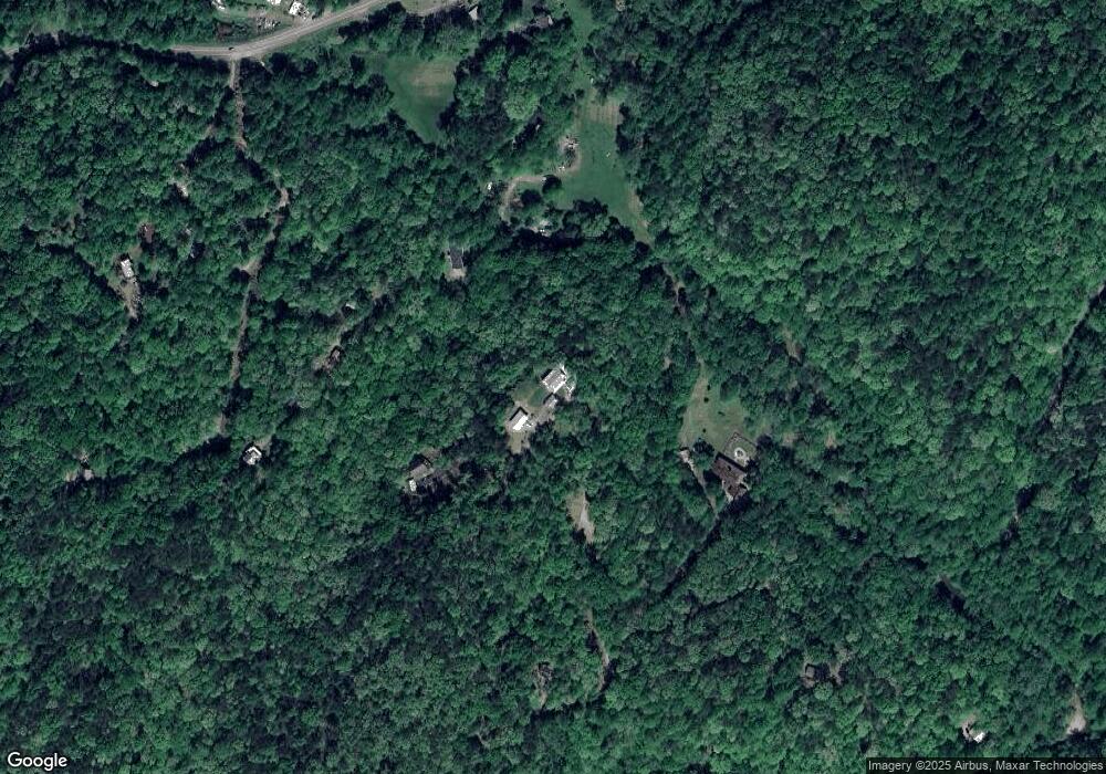
Map
Nearby Homes
- 1047 Nugget Ct
- 114 Funaro Ln
- 0 Dawsonville Hwy Unit 10631159
- 00 Dawsonville Hwy
- 735 Calhoun Rd
- 99 Madeline Anthony Road Lots 44 and 45
- 99 Madeline Anthony Rd
- 1170 Calhoun Rd
- 0 Crown Mountain Unit 7682225
- 0 Crown Mountain Unit 10644759
- LOT 13 Crown Mountain Way
- Lot 28 Crown Mountain Way
- Lot 30 Crown Mountain Way
- Lot 20 Crown Mountain Way
- 0 Crown Mountain Way Unit 7666031
- 567 Crown Mountain Way
- 1415 Calhoun Rd
- 253 Blair Ridge Rd
- 490 N Hall Rd
- 120 Blair Ridge Rd
- 6 Grub Stake Dr
- 97 Grub Stake Dr
- 300 J W Nix Rd
- 298 J W Nix Rd
- 107 Gold Diggers Trail
- 107 Gold Diggers Rd
- 218 Clementine Dr
- 167 Clementine Dr
- 3 Gold Diggers Trail
- 33 Gold Diggers Trail
- 347 Gold Diggers Rd
- 0 Clementine Dr Unit 7476802
- 0 Clementine Dr Unit 8221660
- 0 Clementine Dr
- 114 Clementine Dr
- 167 J W Nix Rd
- J J W Nix Rd
- 25 Parsons Place
- 250 Gold Diggers Trail Unit 6
- 250 Gold Diggers Trail