116 Hartsfield Rd Sneads Ferry, NC 28460
Estimated Value: $150,000 - $281,000
--
Bed
--
Bath
--
Sq Ft
1.71
Acres
About This Home
This home is located at 116 Hartsfield Rd, Sneads Ferry, NC 28460 and is currently estimated at $222,227. 116 Hartsfield Rd is a home with nearby schools including Coastal Elementary, Dixon Elementary School, and Dixon High School.
Ownership History
Date
Name
Owned For
Owner Type
Purchase Details
Closed on
Oct 12, 2017
Sold by
Hansley Edith L
Bought by
Hansley Edith L and Hansley David Q
Current Estimated Value
Purchase Details
Closed on
Jan 21, 1981
Bought by
Hansley Edith
Create a Home Valuation Report for This Property
The Home Valuation Report is an in-depth analysis detailing your home's value as well as a comparison with similar homes in the area
Home Values in the Area
Average Home Value in this Area
Purchase History
| Date | Buyer | Sale Price | Title Company |
|---|---|---|---|
| Hansley Edith L | $1,000 | None Available | |
| Hansley Edith | $2,000 | -- |
Source: Public Records
Tax History Compared to Growth
Tax History
| Year | Tax Paid | Tax Assessment Tax Assessment Total Assessment is a certain percentage of the fair market value that is determined by local assessors to be the total taxable value of land and additions on the property. | Land | Improvement |
|---|---|---|---|---|
| 2025 | $498 | $75,982 | $48,550 | $27,432 |
| 2024 | $498 | $75,982 | $48,550 | $27,432 |
| 2023 | $498 | $75,982 | $48,550 | $27,432 |
| 2022 | $498 | $75,982 | $48,550 | $27,432 |
| 2021 | $479 | $67,880 | $43,550 | $24,330 |
| 2020 | $239 | $67,880 | $43,550 | $24,330 |
| 2019 | $239 | $67,880 | $43,550 | $24,330 |
| 2018 | $239 | $67,880 | $43,550 | $24,330 |
| 2017 | $424 | $62,880 | $38,550 | $24,330 |
| 2016 | $424 | $62,880 | $0 | $0 |
| 2015 | $424 | $62,880 | $0 | $0 |
| 2014 | $424 | $62,880 | $0 | $0 |
Source: Public Records
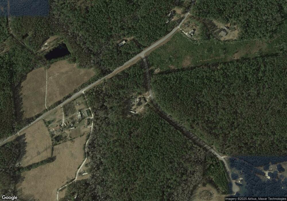
Map
Nearby Homes
- 157 Bridgeport Dr
- 155 Oyster Landing Dr
- 528 Oyster Rock Ln
- 725 Cross Bridge Way Unit Lot 18
- 727 Cross Bridge Way
- 729 Cross Bridge Way Unit Lot 16
- 731 Cross Bridge Way Unit Lot 15
- 733 Cross Bridge Way
- 1784 N Carolina 172
- 726 Cross Bridge Way Unit Lot 8
- 735 Cross Bridge Way Unit Lot 13
- 728 Cross Bridge Way Unit Lot 9
- 730 Cross Bridge Way
- 732 Cross Bridge Way Unit Lot 11
- 720 Ellabond St
- 734 Cross Bridge Way Unit Lot 12
- Athens Plan at The Landing at Mill Creek
- Milan Plan at The Landing at Mill Creek
- Layne Plan at The Landing at Mill Creek
- Brookings Plan at The Landing at Mill Creek