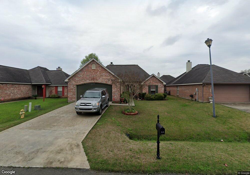
116 Harvest Pointe Cir Lafayette, LA 70506
Estimated Value: $218,000 - $228,000
3
Beds
2
Baths
1,487
Sq Ft
$151/Sq Ft
Est. Value
About This Home
This home is located at 116 Harvest Pointe Cir, Lafayette, LA 70506 and is currently estimated at $224,597, approximately $151 per square foot. 116 Harvest Pointe Cir is a home located in Lafayette Parish with nearby schools including Westside Elementary School, Scott Middle School, and Acadiana High School.
Ownership History
Date
Name
Owned For
Owner Type
Purchase Details
Closed on
May 19, 2008
Sold by
Lewis Eddie Jude and Lewis Krystal Monique Papillion
Bought by
Hanks Karla Mary
Current Estimated Value
Home Financials for this Owner
Home Financials are based on the most recent Mortgage that was taken out on this home.
Original Mortgage
$50,000,000
Outstanding Balance
$31,978,032
Interest Rate
6.07%
Mortgage Type
Purchase Money Mortgage
Estimated Equity
-$31,753,435
Purchase Details
Closed on
Feb 10, 2006
Sold by
Shivers Properties Inc
Bought by
Lewis Eddie Jude and Papillion Krystal Monique
Create a Home Valuation Report for This Property
The Home Valuation Report is an in-depth analysis detailing your home's value as well as a comparison with similar homes in the area
Home Values in the Area
Average Home Value in this Area
Purchase History
| Date | Buyer | Sale Price | Title Company |
|---|---|---|---|
| Hanks Karla Mary | $177,500 | None Available | |
| Lewis Eddie Jude | $155,000 | None Available |
Source: Public Records
Mortgage History
| Date | Status | Borrower | Loan Amount |
|---|---|---|---|
| Open | Hanks Karla Mary | $50,000,000 |
Source: Public Records
Tax History Compared to Growth
Tax History
| Year | Tax Paid | Tax Assessment Tax Assessment Total Assessment is a certain percentage of the fair market value that is determined by local assessors to be the total taxable value of land and additions on the property. | Land | Improvement |
|---|---|---|---|---|
| 2024 | $1,167 | $19,968 | $3,088 | $16,880 |
| 2023 | $1,167 | $19,124 | $3,088 | $16,036 |
| 2022 | $1,739 | $19,124 | $3,088 | $16,036 |
| 2021 | $1,745 | $19,124 | $3,088 | $16,036 |
| 2020 | $1,737 | $19,124 | $3,088 | $16,036 |
| 2019 | $889 | $18,290 | $3,000 | $15,290 |
| 2018 | $966 | $18,290 | $3,000 | $15,290 |
| 2017 | $965 | $18,290 | $3,000 | $15,290 |
| 2015 | $966 | $18,290 | $3,000 | $15,290 |
| 2013 | -- | $18,290 | $3,000 | $15,290 |
Source: Public Records
Map
Nearby Homes
- 105 Harvest Pointe Cir
- 102 Berchman Oaks Dr
- 217 Marie St
- 217 Berchman Oaks Dr
- 314 Creswell Ave
- 223 Berchman Oaks Dr
- 229 Alpine Dr
- 230 Berchman Oaks Dr
- 203 Waterpointe Ln
- 103 Fig St
- 102 Waterpointe Ln
- 102 Fig St
- 124 Breakers Way
- Rayburn Plan at West Village
- Bourget Plan at West Village
- Fillmore Plan at West Village
- Langdon Plan at West Village
- Biltmore Plan at West Village
- Kadair Plan at West Village
- Tahoe Plan at West Village
- 118 Harvest Pointe Cir
- 114 Harvest Pointe Cir
- 206 Harvest Pointe Cir
- 120 Harvest Pointe Cir
- 112 Harvest Pointe Cir
- 204 Harvest Pointe Cir
- 208 Harvest Pointe Cir
- 202 Harvest Pointe Cir
- 210 Harvest Pointe Cir
- 122 Harvest Pointe Cir
- 110 Harvest Pointe Cir
- 129 Harvest Pointe Cir
- 131 Harvest Pointe Cir
- 200 Harvest Pointe Cir
- 212 Harvest Pointe Cir
- 125 Harvest Pointe Cir
- 133 Harvest Pointe Cir
- 108 Harvest Pointe Cir
- 123 Harvest Pointe Cir
- 214 Harvest Pointe Cir