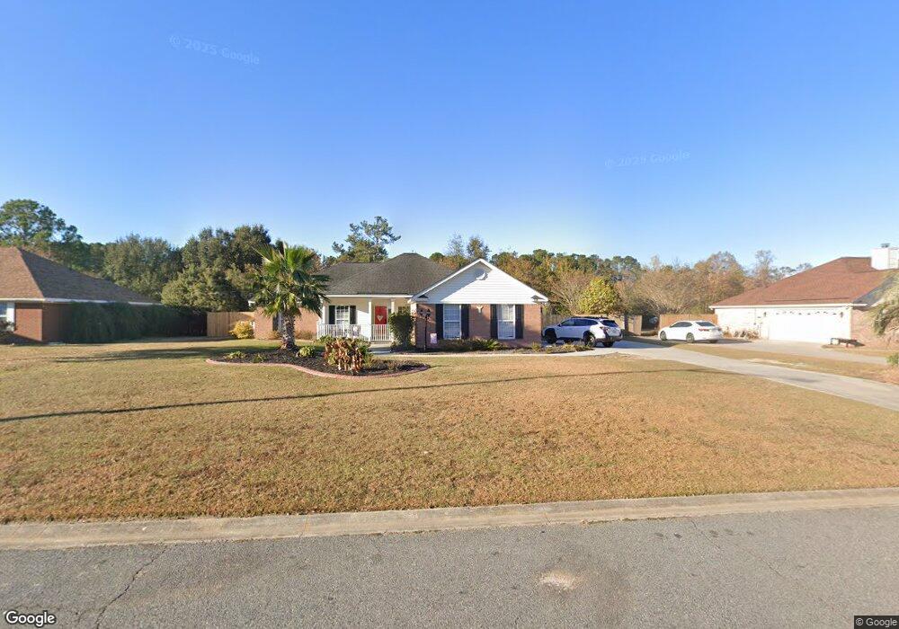
116 Hawthorne Dr Guyton, GA 31312
Estimated Value: $314,007 - $337,000
4
Beds
2
Baths
1,681
Sq Ft
$195/Sq Ft
Est. Value
About This Home
This home is located at 116 Hawthorne Dr, Guyton, GA 31312 and is currently estimated at $327,002, approximately $194 per square foot. 116 Hawthorne Dr is a home located in Effingham County with nearby schools including Marlow Elementary School, South Effingham Middle School, and South Effingham High School.
Ownership History
Date
Name
Owned For
Owner Type
Purchase Details
Closed on
Jul 18, 2006
Sold by
Bohannon John P
Bought by
Figuereo Felix and Figuereo Mary
Current Estimated Value
Home Financials for this Owner
Home Financials are based on the most recent Mortgage that was taken out on this home.
Original Mortgage
$145,600
Outstanding Balance
$86,582
Interest Rate
6.68%
Mortgage Type
New Conventional
Estimated Equity
$240,420
Create a Home Valuation Report for This Property
The Home Valuation Report is an in-depth analysis detailing your home's value as well as a comparison with similar homes in the area
Home Values in the Area
Average Home Value in this Area
Purchase History
| Date | Buyer | Sale Price | Title Company |
|---|---|---|---|
| Figuereo Felix | $182,000 | -- |
Source: Public Records
Mortgage History
| Date | Status | Borrower | Loan Amount |
|---|---|---|---|
| Open | Figuereo Felix | $145,600 |
Source: Public Records
Tax History Compared to Growth
Tax History
| Year | Tax Paid | Tax Assessment Tax Assessment Total Assessment is a certain percentage of the fair market value that is determined by local assessors to be the total taxable value of land and additions on the property. | Land | Improvement |
|---|---|---|---|---|
| 2024 | $2,410 | $127,308 | $22,800 | $104,508 |
| 2023 | $1,762 | $102,156 | $17,600 | $84,556 |
| 2022 | $2,256 | $82,035 | $16,000 | $66,035 |
| 2021 | $2,199 | $75,179 | $14,000 | $61,179 |
| 2020 | $2,175 | $70,911 | $14,000 | $56,911 |
| 2019 | $2,185 | $72,311 | $15,400 | $56,911 |
| 2018 | $2,152 | $68,296 | $15,400 | $52,896 |
| 2017 | $2,251 | $71,234 | $14,000 | $57,234 |
| 2016 | $2,115 | $66,619 | $14,000 | $52,619 |
| 2015 | -- | $60,938 | $14,000 | $46,938 |
| 2014 | -- | $56,938 | $10,000 | $46,938 |
| 2013 | -- | $52,538 | $5,600 | $46,938 |
Source: Public Records
Map
Nearby Homes
- 105 Homestead Ct
- 438 Kessler Loop
- 108 Settlers Point Dr
- 120 Annie Dr
- 137 Scholar Rd
- 275 Caribbean Village Dr
- 276 Caribbean Village Dr
- 125 Annie Dr
- 178 Tobago Cir
- 144 Tobago Cir
- 1257 Noel C Conaway Rd
- 126 Tobago Cir
- 225 Caribbean Village Dr
- 548 Amsonia Cir
- 102 Sam's Dr
- 119 Sams Dr
- 104 Sams Dr
- 139 Sams Dr
- 804 Hyacinth Cir
- 138 Sams Dr
- 118 Hawthorne Dr
- 106 Hawthorne Dr
- 106 Hawthorne Dr
- 125 Hawthorne Dr
- 104 Hawthorne Dr
- 108 Hawthorne Dr
- 123 Hawthorne Dr
- 112 Hawthorne Dr
- 120 Hawthorne Dr
- 127 Hawthorne Dr
- 121 Hawthorne Dr
- 110 Hawthorne Dr
- 102 Hawthorne Dr
- 129 Hawthorne Dr
- 0 Hawthorne Dr Unit 7431958
- 0 Hawthorne Dr Unit 3194574
- 0 Hawthorne Dr Unit 8138805
- 0 Hawthorne Dr Unit 7120541
- 0 Hawthorne Dr Unit 7608628
- 0 Hawthorne Dr Unit 7138304