116 Homestead Ln Saginaw, MI 48601
Estimated Value: $148,000 - $199,000
3
Beds
2
Baths
1,408
Sq Ft
$124/Sq Ft
Est. Value
About This Home
This home is located at 116 Homestead Ln, Saginaw, MI 48601 and is currently estimated at $174,015, approximately $123 per square foot. 116 Homestead Ln is a home located in Saginaw County with nearby schools including Thompson Middle School, Saginaw United High School, and Saginaw Preparatory Academy.
Ownership History
Date
Name
Owned For
Owner Type
Purchase Details
Closed on
Jan 4, 2005
Sold by
Taylor Ebony M and Drake Theodore R
Bought by
Drake Phillip and Drake Fazilet
Current Estimated Value
Purchase Details
Closed on
Sep 23, 2004
Home Financials for this Owner
Home Financials are based on the most recent Mortgage that was taken out on this home.
Original Mortgage
$88,000
Interest Rate
5.25%
Mortgage Type
Purchase Money Mortgage
Purchase Details
Closed on
Apr 18, 2003
Sold by
Manufacturers & Traders Trust Co
Bought by
Foster Gregory B
Purchase Details
Closed on
May 30, 2002
Sold by
Webb Laura A
Bought by
Manufacturers & Traders Trust Company
Create a Home Valuation Report for This Property
The Home Valuation Report is an in-depth analysis detailing your home's value as well as a comparison with similar homes in the area
Home Values in the Area
Average Home Value in this Area
Purchase History
| Date | Buyer | Sale Price | Title Company |
|---|---|---|---|
| Drake Phillip | -- | -- | |
| -- | $110,000 | -- | |
| Drake Philip C | $110,000 | Fatic | |
| Foster Gregory B | $63,500 | Multiple | |
| Manufacturers & Traders Trust Company | $54,810 | -- |
Source: Public Records
Mortgage History
| Date | Status | Borrower | Loan Amount |
|---|---|---|---|
| Closed | Drake Philip C | $88,000 |
Source: Public Records
Tax History Compared to Growth
Tax History
| Year | Tax Paid | Tax Assessment Tax Assessment Total Assessment is a certain percentage of the fair market value that is determined by local assessors to be the total taxable value of land and additions on the property. | Land | Improvement |
|---|---|---|---|---|
| 2025 | $3,476 | $74,300 | $0 | $0 |
| 2024 | $944 | $74,400 | $0 | $0 |
| 2023 | $898 | $64,400 | $0 | $0 |
| 2022 | $3,188 | $55,700 | $0 | $0 |
| 2021 | $3,168 | $49,900 | $0 | $0 |
| 2020 | $2,938 | $46,100 | $0 | $0 |
| 2019 | $2,892 | $45,500 | $1,800 | $43,700 |
| 2018 | $671 | $45,850 | $0 | $0 |
| 2017 | $2,752 | $45,800 | $0 | $0 |
| 2016 | $2,492 | $44,800 | $0 | $0 |
| 2014 | -- | $43,000 | $0 | $41,200 |
| 2013 | -- | $41,700 | $0 | $0 |
Source: Public Records
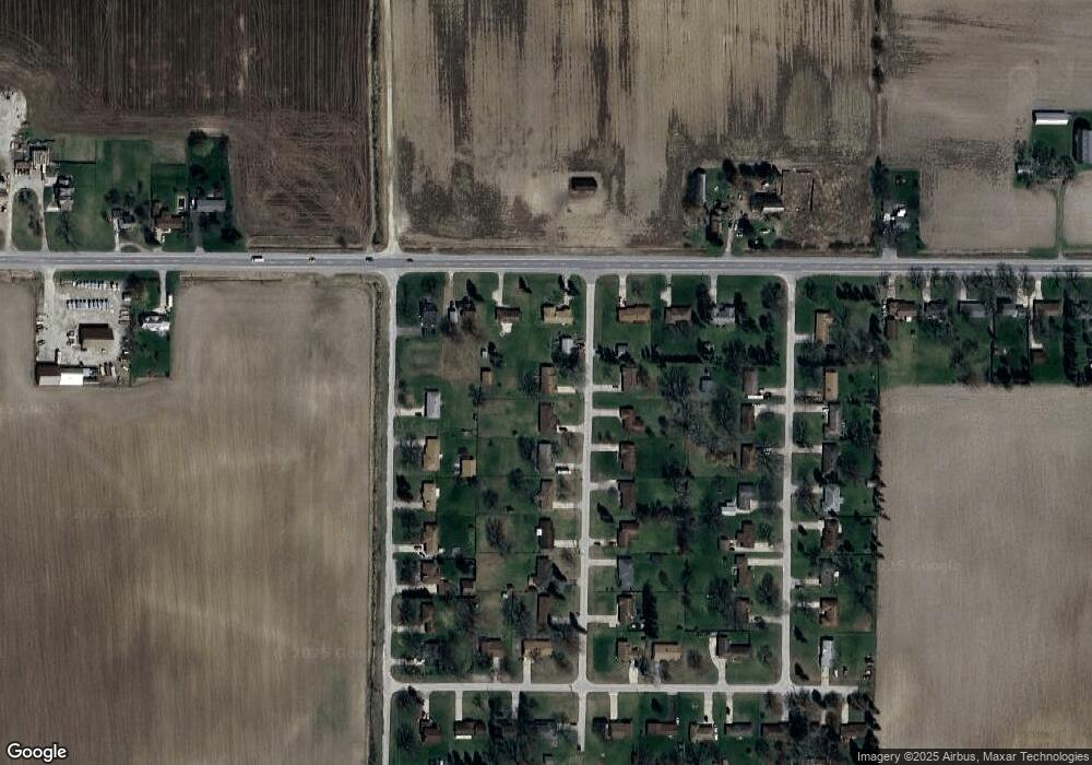
Map
Nearby Homes
- 1579 Joy St
- 3810 Janes Rd
- 5050 Carnegie St
- 6050 Wadsworth Rd
- 3730 Janes Rd
- 5032 Akron St
- 1765 Ribble St
- 1408 S Outer Dr
- 1840 Ribble St
- 1815 Mack Rd
- 1910 S Outer Dr
- 1932 S Outer Dr
- 1337 Woodside St
- 3172 Mysylvia Dr
- 3299 Mysylvia Dr
- 4764 Hess Rd
- 1380 Woodside St
- 612 S 31st St
- 3289 Westbrook St
- 2950 Arlington Dr
- 160 Homestead Ln
- 5100 E Holland Rd
- 5082 E Holland Rd
- 194 Homestead Ln
- 115 Homestead Ln
- 159 Homestead Ln
- 5120 E Holland Rd
- 5050 E Holland Rd
- 234 Homestead Ln
- 193 Homestead Ln
- 105 S Airport Rd
- 163 S Airport Rd
- 5026 E Holland Rd
- 233 Homestead Ln
- 5140 E Holland Rd
- 264 Homestead Ln
- 203 S Airport Rd
- 265 Homestead Ln
- 5170 E Holland Rd
- 241 S Airport Rd