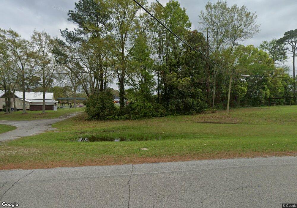
116 Hudson St SW Whigham, GA 39897
Estimated Value: $29,000 - $174,000
--
Bed
1
Bath
1,715
Sq Ft
$59/Sq Ft
Est. Value
About This Home
This home is located at 116 Hudson St SW, Whigham, GA 39897 and is currently estimated at $101,500, approximately $59 per square foot. 116 Hudson St SW is a home located in Grady County.
Ownership History
Date
Name
Owned For
Owner Type
Purchase Details
Closed on
Sep 24, 2025
Sold by
Harrell Samuel L
Bought by
Mayhaw House Llc
Current Estimated Value
Purchase Details
Closed on
Sep 17, 2025
Sold by
Brinson Janice J
Bought by
Harrell Samuel L and Harrell Selena
Purchase Details
Closed on
Mar 13, 2015
Sold by
Rpm Financial Svcs Inc
Bought by
Brinson Janice J
Purchase Details
Closed on
Jan 20, 2009
Sold by
Capital City Bank
Bought by
Rpm Financial Services Inc
Purchase Details
Closed on
Dec 2, 2008
Sold by
Phillips Durwood E
Bought by
Capital City Bank
Purchase Details
Closed on
Jun 28, 1994
Bought by
Phillips Durwood E
Create a Home Valuation Report for This Property
The Home Valuation Report is an in-depth analysis detailing your home's value as well as a comparison with similar homes in the area
Home Values in the Area
Average Home Value in this Area
Purchase History
| Date | Buyer | Sale Price | Title Company |
|---|---|---|---|
| Mayhaw House Llc | -- | -- | |
| Harrell Samuel L | $20,000 | -- | |
| Brinson Janice J | $12,000 | -- | |
| Rpm Financial Services Inc | $8,302 | -- | |
| Capital City Bank | -- | -- | |
| Phillips Durwood E | -- | -- |
Source: Public Records
Tax History Compared to Growth
Tax History
| Year | Tax Paid | Tax Assessment Tax Assessment Total Assessment is a certain percentage of the fair market value that is determined by local assessors to be the total taxable value of land and additions on the property. | Land | Improvement |
|---|---|---|---|---|
| 2024 | $205 | $5,620 | $5,620 | $0 |
| 2023 | $155 | $4,240 | $3,440 | $800 |
| 2022 | $155 | $4,240 | $3,440 | $800 |
| 2021 | $155 | $4,240 | $3,440 | $800 |
| 2020 | $156 | $4,240 | $3,440 | $800 |
| 2019 | $156 | $4,240 | $3,440 | $800 |
| 2018 | $233 | $6,679 | $3,440 | $3,239 |
| 2017 | $224 | $6,679 | $3,440 | $3,239 |
| 2016 | $164 | $6,250 | $3,440 | $2,810 |
| 2015 | $211 | $6,250 | $3,440 | $2,810 |
| 2014 | $646 | $19,128 | $4,928 | $14,200 |
| 2013 | -- | $17,577 | $4,927 | $12,650 |
Source: Public Records
Map
Nearby Homes
- 165 Larkin St
- 206 Lodge Ln
- 267 Providence Rd
- 723 Providence Rd
- 1718 Old 179 S
- 231 Mcintyre Ln
- 2033 Old 179 N
- 0 Earl Hester Rd
- 3695 Tired Creek Rd
- 0 Upper Hawthorne Trail
- 1520 Upper Hawthorne Trail
- 1137 Summerfield
- 00 Tired Creek Rd
- 292 Sykes Mill Rd
- 1389 Lake Front Dr
- Harrell Mill Rd
- 316 Faircloth Rd
- Lot 1 Crine Blvd
- 1500 15th Ave NW
- 490 13th St SW
- 0000 Attapulgus Whigham Rd
- 131 Trulock St
- 235 W Broad Ave
- 128 Hudson St SW
- 239 Lodge Ave
- 267 W Broad Ave
- 263 Lodge Ave
- 149 Hudson St SW
- 203 W Broad Ave
- 220 W Broad Ave
- 276 W Broad Ave
- 282 W Broad Ave
- 000 Haire Ln
- 216 W Broad Ave
- 208 W Broad Ave
- 232 Martin Ave
- 310 W Broad Ave
- 188 W Broad Ave
- 142 Walker St NW
- 180 W Broad Ave
