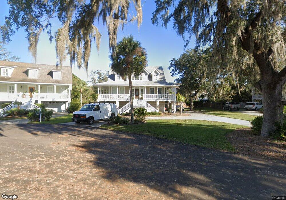
116 Killgriffe Saint Simons Island, GA 31522
Estimated Value: $765,582 - $947,000
3
Beds
3
Baths
1,845
Sq Ft
$472/Sq Ft
Est. Value
About This Home
This home is located at 116 Killgriffe, Saint Simons Island, GA 31522 and is currently estimated at $870,646, approximately $471 per square foot. 116 Killgriffe is a home located in Glynn County with nearby schools including St. Simons Elementary School, Glynn Middle School, and Glynn Academy.
Ownership History
Date
Name
Owned For
Owner Type
Purchase Details
Closed on
Oct 21, 2016
Sold by
Carlton James
Bought by
Strother James Carlton and Strother Lauren C
Current Estimated Value
Purchase Details
Closed on
Feb 29, 2008
Sold by
Strother William F
Bought by
Strother James Carl
Home Financials for this Owner
Home Financials are based on the most recent Mortgage that was taken out on this home.
Original Mortgage
$208,000
Interest Rate
5.63%
Mortgage Type
New Conventional
Create a Home Valuation Report for This Property
The Home Valuation Report is an in-depth analysis detailing your home's value as well as a comparison with similar homes in the area
Home Values in the Area
Average Home Value in this Area
Purchase History
| Date | Buyer | Sale Price | Title Company |
|---|---|---|---|
| Strother James Carlton | -- | -- | |
| Strother James Carl | $443,900 | -- |
Source: Public Records
Mortgage History
| Date | Status | Borrower | Loan Amount |
|---|---|---|---|
| Previous Owner | Strother James Carl | $208,000 | |
| Previous Owner | Strother James Carl | $59,000 |
Source: Public Records
Tax History
| Year | Tax Paid | Tax Assessment Tax Assessment Total Assessment is a certain percentage of the fair market value that is determined by local assessors to be the total taxable value of land and additions on the property. | Land | Improvement |
|---|---|---|---|---|
| 2025 | $6,610 | $263,560 | $70,400 | $193,160 |
| 2024 | $6,167 | $245,920 | $70,400 | $175,520 |
| 2023 | $3,254 | $245,920 | $70,400 | $175,520 |
| 2022 | $3,709 | $167,920 | $70,400 | $97,520 |
| 2021 | $3,792 | $146,800 | $52,040 | $94,760 |
| 2020 | $3,855 | $156,280 | $52,040 | $104,240 |
| 2019 | $3,703 | $142,080 | $52,040 | $90,040 |
| 2018 | $3,703 | $142,080 | $52,040 | $90,040 |
| 2017 | $3,579 | $137,320 | $52,040 | $85,280 |
| 2016 | $2,810 | $116,480 | $52,040 | $64,440 |
| 2015 | $2,730 | $116,480 | $52,040 | $64,440 |
| 2014 | $2,730 | $112,680 | $52,040 | $60,640 |
Source: Public Records
Map
Nearby Homes
- 242 Mcintosh Ave
- 121 Killgriffe St
- 211 Mcintosh Ave
- 57 Maxwell Ave
- 516 Postell Dr
- 295 Mcintosh Ave
- 104 Youngwood Dr
- 155 Laurel View Dr
- 207 Military Rd
- 311 Peachtree St
- 240 Peachtree St
- 241 Broadway St
- 239 Broadway St
- 238 Broadway St
- 210 Settlers Rd
- 1704 Frederica Rd Unit 237
- 1704 Frederica Rd Unit 605
- 1704 Frederica Rd Unit 507
- 219 Five Pounds Rd
- 123 Redfern Dr
- 108 Killgriffe
- 0 Killgriffe St Unit 653402
- 120 Killgriffe
- 234 Mcintosh Ave
- 115 Killgriffe
- 250 Mcintosh Ave
- 107 Killgriffe
- 224 Mcintosh Ave
- 114 Runnymede Rd
- 122 Killgriffe
- Lot 1 Strother Place
- 258 Mcintosh Ave
- 105 Strother Place
- 131 Runnymede Rd
- 131 Runnymede
- 11 Strother Place
- 17 Strother Place
- 126 Runnymede
- 19 Strother Place
- 123 Killgriffe