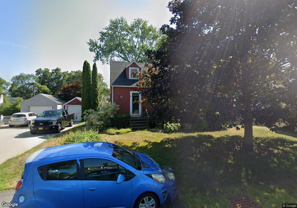
116 Leach Rd Eliot, ME 03903
South Eliot NeighborhoodEstimated Value: $407,710 - $479,000
2
Beds
1
Bath
1,110
Sq Ft
$392/Sq Ft
Est. Value
About This Home
This home is located at 116 Leach Rd, Eliot, ME 03903 and is currently estimated at $435,428, approximately $392 per square foot. 116 Leach Rd is a home located in York County with nearby schools including Marshwood High School.
Ownership History
Date
Name
Owned For
Owner Type
Purchase Details
Closed on
Nov 23, 2022
Sold by
Mclaughlin Paula M and Mclaughlin Richard H
Bought by
Mclaughlin Richard H
Current Estimated Value
Home Financials for this Owner
Home Financials are based on the most recent Mortgage that was taken out on this home.
Original Mortgage
$290,000
Outstanding Balance
$277,775
Interest Rate
5.75%
Mortgage Type
Purchase Money Mortgage
Estimated Equity
$157,653
Purchase Details
Closed on
May 18, 2006
Sold by
Painchaud Holly and Painchaud Charles R
Bought by
Mclaughlin Paula M and Mclaughlin Richard H
Home Financials for this Owner
Home Financials are based on the most recent Mortgage that was taken out on this home.
Original Mortgage
$182,000
Interest Rate
6.42%
Mortgage Type
Purchase Money Mortgage
Create a Home Valuation Report for This Property
The Home Valuation Report is an in-depth analysis detailing your home's value as well as a comparison with similar homes in the area
Home Values in the Area
Average Home Value in this Area
Purchase History
| Date | Buyer | Sale Price | Title Company |
|---|---|---|---|
| Mclaughlin Richard H | -- | None Available | |
| Mclaughlin Paula M | -- | -- |
Source: Public Records
Mortgage History
| Date | Status | Borrower | Loan Amount |
|---|---|---|---|
| Open | Mclaughlin Richard H | $290,000 | |
| Previous Owner | Mclaughlin Paula M | $182,000 |
Source: Public Records
Tax History Compared to Growth
Tax History
| Year | Tax Paid | Tax Assessment Tax Assessment Total Assessment is a certain percentage of the fair market value that is determined by local assessors to be the total taxable value of land and additions on the property. | Land | Improvement |
|---|---|---|---|---|
| 2024 | $3,022 | $255,000 | $126,900 | $128,100 |
| 2023 | $2,913 | $237,800 | $120,600 | $117,200 |
| 2022 | $2,812 | $232,400 | $120,600 | $111,800 |
| 2021 | $2,510 | $209,700 | $100,500 | $109,200 |
| 2020 | $421 | $196,200 | $96,100 | $100,100 |
| 2019 | $2,884 | $196,200 | $96,100 | $100,100 |
| 2018 | $2,884 | $196,200 | $96,100 | $100,100 |
| 2017 | $2,806 | $196,200 | $96,100 | $100,100 |
| 2016 | $379 | $196,200 | $96,100 | $100,100 |
| 2015 | $2,747 | $196,200 | $96,100 | $100,100 |
| 2014 | $2,708 | $196,200 | $96,100 | $100,100 |
| 2013 | $2,584 | $196,200 | $96,100 | $100,100 |
Source: Public Records
Map
Nearby Homes
- 493 Main St
- 18 Shipping Ln
- 8 Caslyn Dr
- 5 Spinney Way Unit 9
- 25 Oak Terrace
- 27 Oak Terrace
- 201 Kearsarge Way
- 14 Birch St
- 19 Shearwater Dr Unit 1903
- 37 Shearwater Dr Unit 1906
- 197 State Rd
- 1360 Woodbury Ave
- 9 Prospect St Unit 1
- 35 Badgers Island W Unit 203
- 35 Badgers Island W Unit 301
- 35 Badgers Island W Unit 302
- 35 Badgers Island W Unit 103
- 9 Main St Unit 3
- 100 Shepard's Cove Rd Unit F204
- 100 Shepards Cove Rd Unit F204