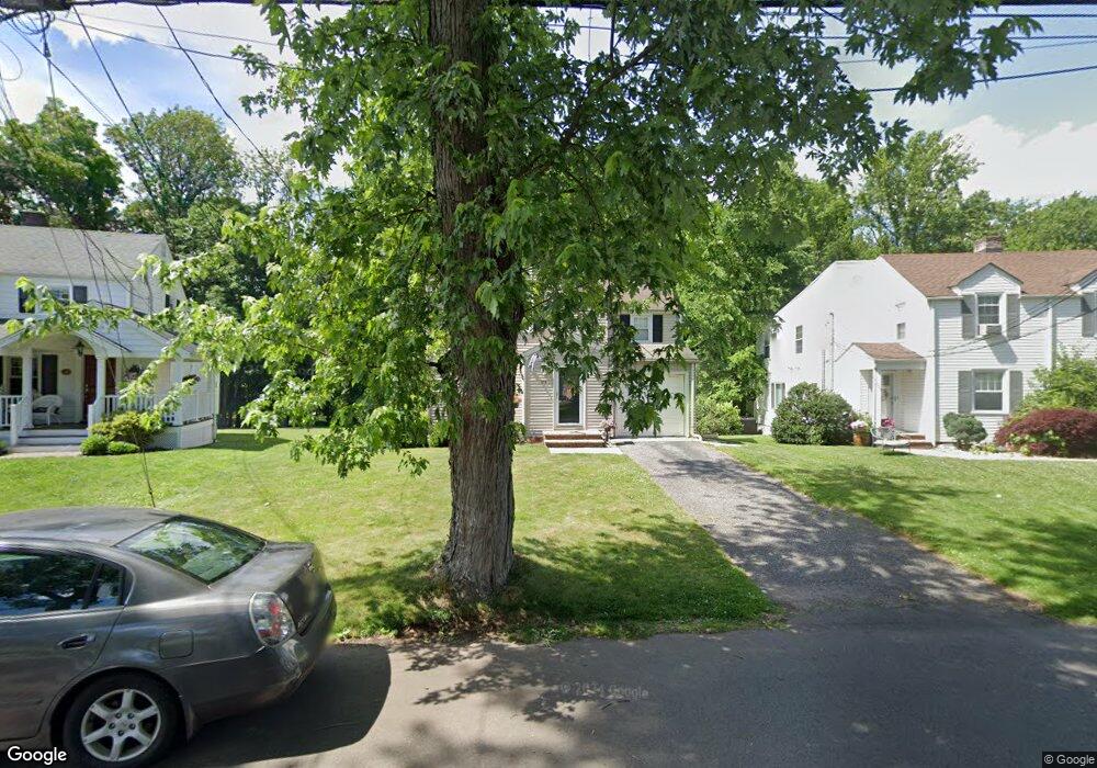
116 Mohawk Dr Cranford, NJ 07016
Estimated Value: $644,915 - $826,000
Studio
--
Bath
--
Sq Ft
7,187
Sq Ft
About This Home
This home is located at 116 Mohawk Dr, Cranford, NJ 07016 and is currently estimated at $723,479. 116 Mohawk Dr is a home located in Union County with nearby schools including Cranford Sr High School, St John The Apostle School, and Mother Seton Regional High School.
Ownership History
Date
Name
Owned For
Owner Type
Purchase Details
Closed on
Jul 25, 2000
Sold by
Oltay Geza S and Oltay Denise Chilipka
Bought by
Quinn John and Quinn Deborah K
Current Estimated Value
Home Financials for this Owner
Home Financials are based on the most recent Mortgage that was taken out on this home.
Original Mortgage
$100,000
Outstanding Balance
$35,657
Interest Rate
8.18%
Estimated Equity
$687,822
Purchase Details
Closed on
Nov 29, 1994
Sold by
Paparozzi Mario A and Paparozzi Judi
Bought by
Oltay Geza S and Olta Denise Chilipka
Create a Home Valuation Report for This Property
The Home Valuation Report is an in-depth analysis detailing your home's value as well as a comparison with similar homes in the area
Home Values in the Area
Average Home Value in this Area
Purchase History
| Date | Buyer | Sale Price | Title Company |
|---|---|---|---|
| Quinn John | $282,000 | Fidelity National Title Ins | |
| Oltay Geza S | $199,900 | -- |
Source: Public Records
Mortgage History
| Date | Status | Borrower | Loan Amount |
|---|---|---|---|
| Open | Quinn John | $100,000 |
Source: Public Records
Tax History
| Year | Tax Paid | Tax Assessment Tax Assessment Total Assessment is a certain percentage of the fair market value that is determined by local assessors to be the total taxable value of land and additions on the property. | Land | Improvement |
|---|---|---|---|---|
| 2025 | $12,134 | $179,000 | $82,700 | $96,300 |
| 2024 | $11,934 | $179,000 | $82,700 | $96,300 |
Source: Public Records
Map
Nearby Homes
- 7 Iroquois Rd
- 7 Colin Kelly St
- 501 Centennial Ave
- 302 New York Ave
- 431 Raritan Rd
- 301 Denman Rd
- 109 High St
- 506 Lincoln Park E Unit 506
- 103 High St
- 783 Riverbend Dr
- 333 Livingston Rd
- 120 Springfield Rd
- 1921 Grandview Ave
- 369 S Union Ave
- 2 Roger Ave
- 331 West Ln
- 409 S Union Ave
- 122 Central Ave
- 38 Pallant Ave
- 205 West Ln
Your Personal Tour Guide
Ask me questions while you tour the home.